
26 September 2016. City versus country is an age-old traveller debate. Do we spend time in the great museums and wonderful restaurants of Paris, London, and New York, or do we head to small towns and rural settings where life is less rushed? What do we do if the great outdoors delivers pouring rain and we cannot enjoy the activities we planned? What if our expectations are not met and what do we expect anyway?

The view from our B&B.
We’ve had a touch of both city and country in the past three weeks. Ric and I are wrapping up a trip to Paris and the northern U.K. This is a challenging type of travel to pack for. City-chic in Paris, dressy enough for dinner in a Michelin-starred restaurant, but hiking boots and weather-resistant layers for the great outdoors. Luckily we managed to pack in our usual 21-inch-rollaboard-plus-daypack combo.
It is difficult to imagine having too much time in Paris. We had three full days this time and still we have not managed to do everything on our long list although we’ve been there four times in the past 18 months. The weather was perfect with warm-but-not-hot days and evenings pleasant enough for outdoor dining. We’ve found some amazing places to dine that do not break the bank and a new-to-us B&B experience that kept the budget further in check. Despite a complete lack of French language skills, Paris is beginning to feel quite comfortable.
We moved on to York, England, where we hooked up with my brother and sister-in-law for a two-week driving adventure. When on our own we use public transportation exclusively, but there are places in the rural U.K. that are difficult if not impossible to see without a car, so my brother became the chauffeur, Ric and the SatNav guided the way, while Jane and I enjoyed the scenery.

Here we are atop Edinburgh Castle. A windy day, but sunny and warm by Scottish standards.
Our path was from York to Keswick in the Lakes District, then on to Edinburgh, Granton-on-Spey along the Whisky Trail, and finally the Isle of Skye. Wow! One place more beautiful than the next. Our three truly small-town experiences — Keswick, Grantown-on-Spey, and Portree on Skye — absolutely astounding.
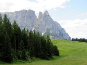
Sheep-dotted meadows, moors, dales and fells, bubbling burns, torrential waterfalls, and always the sheep. It was everything and nothing we expected.
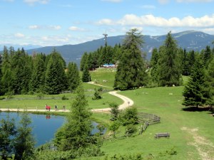
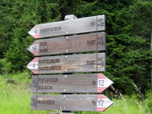
I did not expect it to be so thickly wooded and rugged in The Lakes District. I expected to hike through meadows of sheep and cows, not forests and rocky ridges. The hike we took at Castle Crag was labeled “easy” and four miles long. Much like in the Val Gardena, “easy” was subjective and how they measured a mile elusive. It might have been miles-as-the-crow-flies, but we estimated seven walking versus the published four.
I did not expect to have my husband fall in love with Scotch whisky. Ric has always been a whiskey man: bourbon, Jack Daniels, and the like. Prior to this, I could not get him to sip my whisky, as in the stuff from Scotland. Along for the ride on a distillery tour, he finally saw the light and has come over to the bright side. The difference? The tastings revealed the complexities and variations in whiskies from the different “noses” to flavors of honey, vanilla, caramel, fruit, smoke, and peat. Something for everyone, just like with wine.
I expected fish-and-chips and pubs everywhere. The former were prominent on nearly every menu, but once outside of York and Edinburgh, a proper pub was elusive. Cafes and bars (not our beloved Italian bars, mind you) yes, but not the clubby dens we enjoyed in London.

The Fairy Pools on Skye…look at the line of hikers! I wonder at the adverse impact on the moor.
I don’t know quite what I expected of moors, but it was fascinating to experience these bleak yet beautiful landscapes. I thought they were always lowlands and did learn they can be at higher elevations. I also observed how fragile they are and worry that the ridiculous numbers of us visiting will have an adverse impact.
I did not expect to be so amazed by the food. In the tiniest town of our trip, Portree, on the Isle of Skye, we had perhaps the best situation of all: three dinners to rave about, and spoiled for choice on the whisky selections before and after. The one downfall was an overall poor selection of wines. A stone’s throw from France, Italy, and Spain, with EU-friendly import possible, but prominently featured was Concha y Toro and a few Australian wines.

Highland Cattle are often called “Hairy Coos” or “Hielan Coos.” I love the baby seeking reassurance from mama.
I did expect to see the famous “hairy coos” of the highlands, aka, Highland Cattle and lots of kilt-wearing Scotsmen. We finally saw the cows our next-to-last day on Skye, but the only kilt-wearers were the occasional bagpipers. I’ve seen more kilts in Roma when the lads came to see a game against a local team.
Please click on any picture to see a slideshow of some of the stunning sites we enjoyed.

Fountains Abbey dates to 1132 and is one of the largest and best preserved ruined Cistercian monasteries in England. We walked for over an hour and did not cover the whole place.

Part of the Studley Royal Water Garden at Fountains Abbey, a post-monastic development.

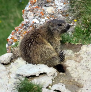
What I expected to see…and did see LOTS. They are eating machines.

On our way to the Castelrigg Stone Circle. This is what I expected of all of our hikes: bucolic.

Ric and I in the stone circle. Not as dramatic as Stonehenge but older.

The bucolic start to our hike at Castle Crag was very misleading.

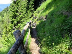
This is the trail at Castle Crag: rough, rock strewn and tiring. And long. Luckily there was whisky to taste after the hike.

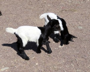
As I understand it, the brown sheep is the offspring of the white one. This “little” guy is hiding behind mama.

We are almost to the top. Beyond the saddle it was supposed to be all downhill. It wasn’t. And it was rocky. And I had to jump over a stream. Not an easy hike….

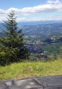
The views are amazing, no matter the weather. It was actually quite warm, so overcast skies were welcome. The 90% humidity was not, however.

Incredible views from Edinburgh Castle!

Started in 1269, this is an amazingly well-preserved site. In the Jacobite uprising of 1745, Blair Castle was occupied twice by Prince Charles Edward Stuart and his Jacobite army.

The only red deer we managed to see were in the corraled herd at Blair Castle. The stag looks less than thrilled by our presence.

At Granton-on-Spey we enjoyed a hike around Loch an Eilein and found the heather still blooming in the wood.

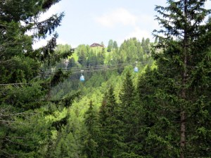
High above Speyside, in the Cairngorms National Park, the view from the top of the funicular. Ric and I are fools for any mountain lift.

Portree is so very tiny and cute. The early morning light was spectacular, and evening brought some of the best restaurants imaginable.

Magnifcent landform on the Trotternish Peninsula, Isle of Skye. No, we did not climb it. Not crazy; I am an easy-hiker.

View out to sea from the Quiraing area. Bleak but beautiful. We loved Skye’s scenery.

The Fairy Pools. We were warned this was a busy place, even early on a cloudy, windy, rain-swept day. This was not an “easy” hike either. I had to sit it out because I could not leap the various stepping stones. Stark Highland beauty, though.

One of the Fairy Pools, an unusual shade of green.

One of many tasting we had, with and without tours, Cragganmore was a favorite: a small distillery with a distinctive whisky that may be Ric’s new fave.
Now back to Paris and on to Rome, by train all the way, of course!


