Tag Archives: Switzerland

Mountains, Mountains, and More Mountains

17 Sep

19 September 2026.

Mountains, Mountains, and More Mountains: That’s the theme for this year’s trip: all mountain locations for almost eight weeks.

We wrapped up two full weeks in Graubünden repeating favorites and researching new walks for our upcoming book, thoroughly enjoying a protracted summer season as it remained quite warm and sunny allowing us to find some great outings to share. There are a a lot of “paths to lunch” for the book because, if you know our style, we like nothing better than a good restaurant in the middle of a hike. Or at the start or end for that matter.

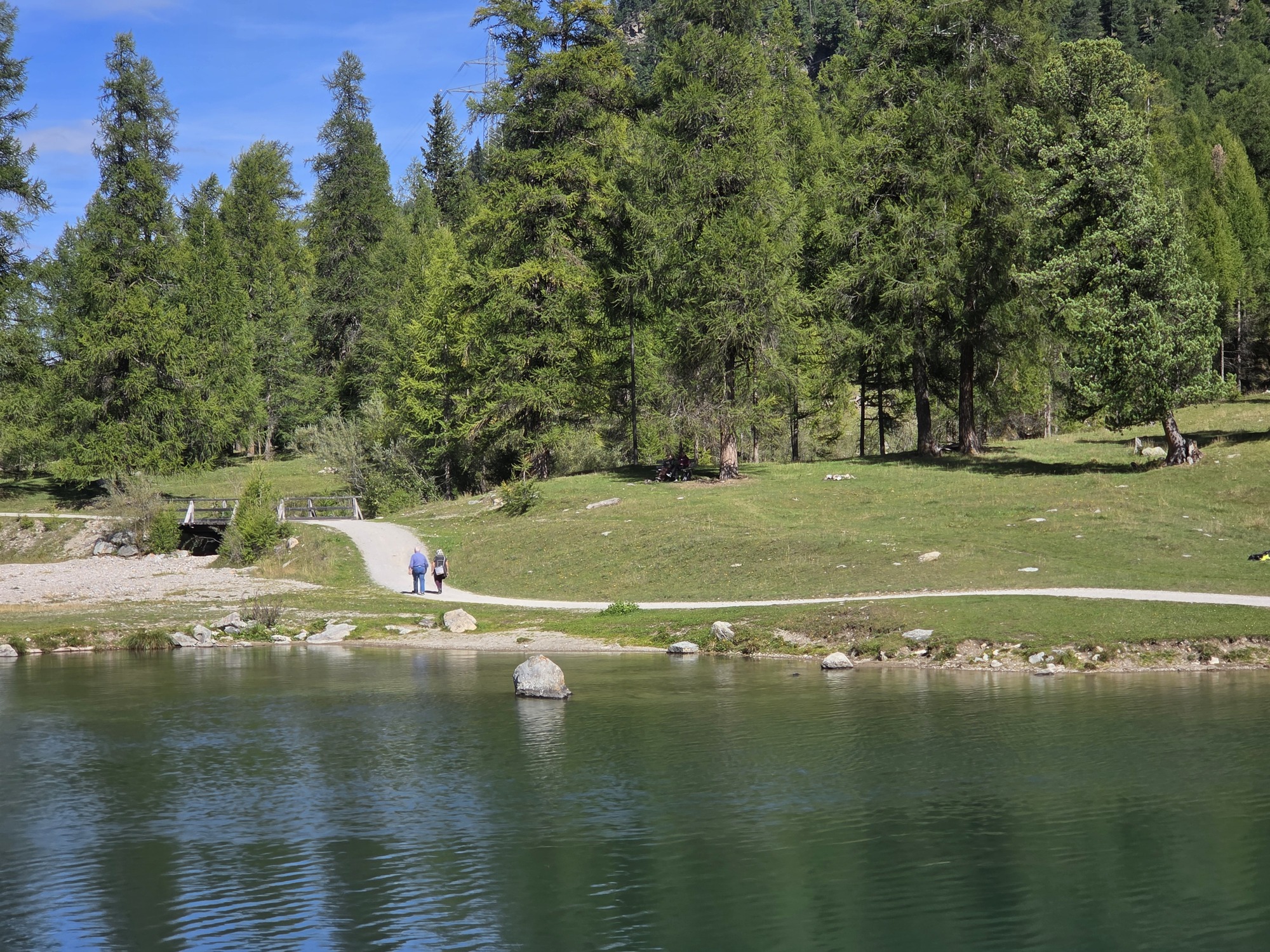
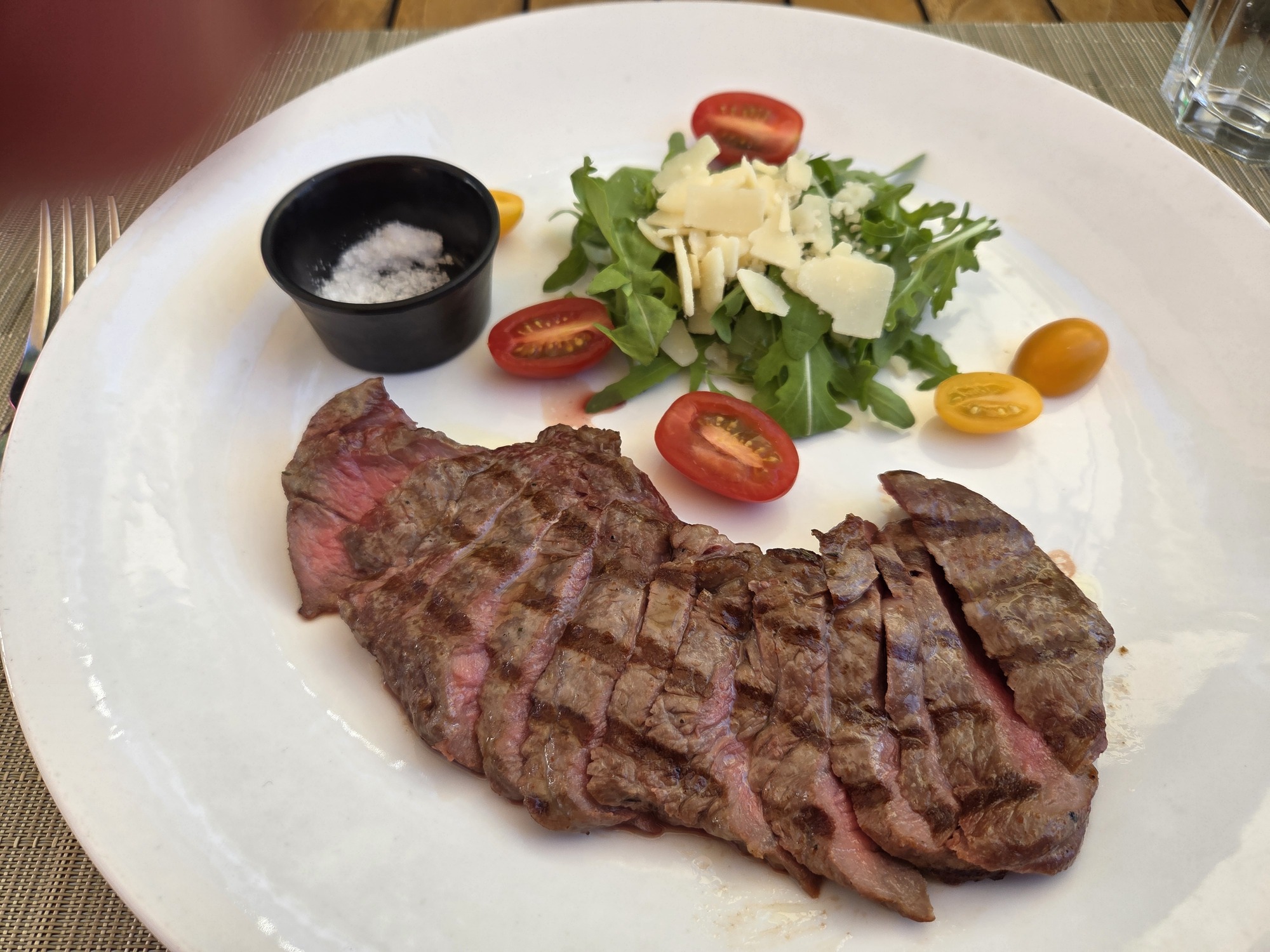
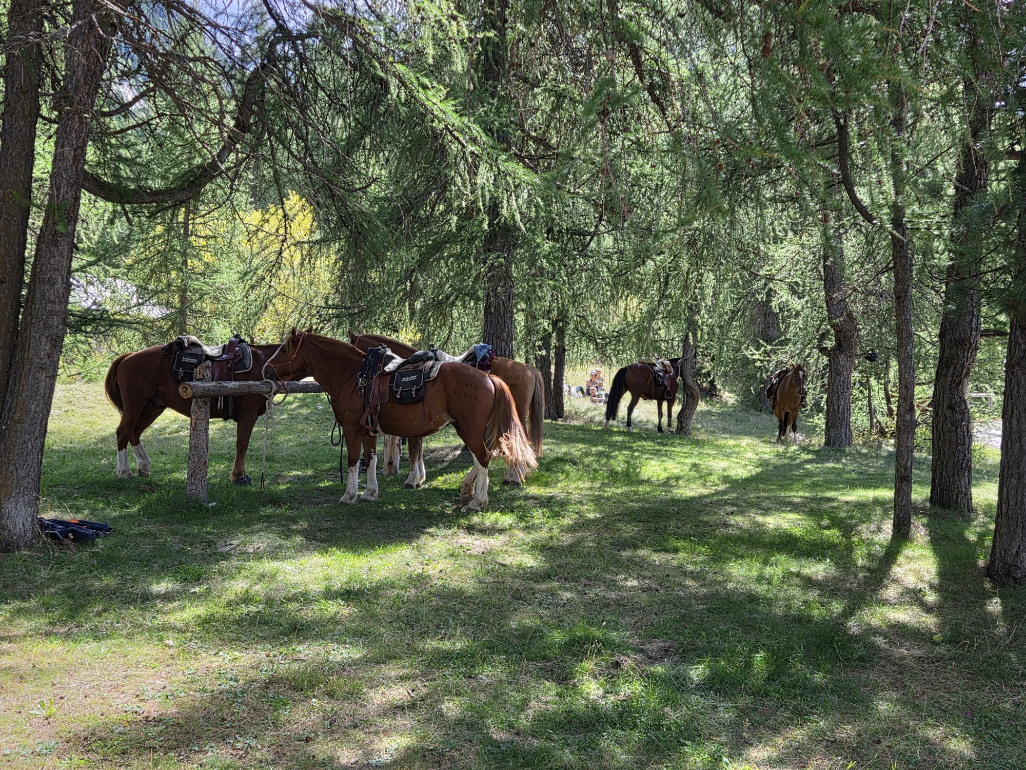
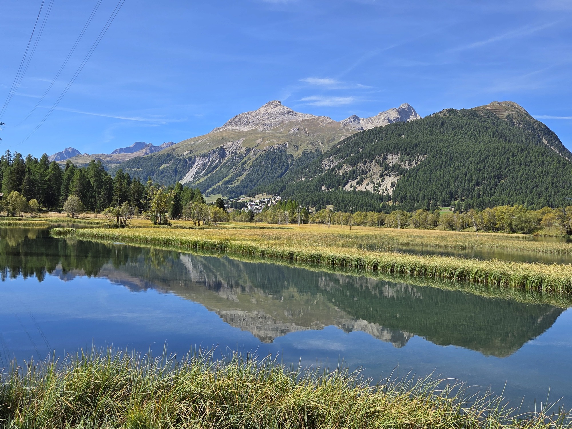
Our final day was Sunday and having a special Sunday lunch is also a thing for us when traveling, so a Path to Lunch on Sunday made a perfect final day in Pontresina. We walked through what in the U.S. we might call a wetlands preserve, where a few years ago the River Inn was revitalized and allowed to flow free without dams. It is an easy 40 minute walk to the excellent Restaurant Piste 21 where, thanks to the summery weather, we were able to dine outdoors on the terrace. We digested our leisurely lunch with a 40 minute walk back to the little town of Bever where we started. Delightful

From top left: The return path; Tagliata of beef, part of our lunch at Piste 21; Some people walk here, some drive, some arrive on horse. Horse parking in a shady grove by the restaurant; Mountains reflected in Lake Gravatscha and the Inn River Meadows

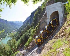
After 14 nights in Pontresina, sleeping at 5900 feet and walking routes at over 8000 feet, we moved on to Stoos, elevation 4300 feet, in the Canton of Schwyz. Not as well-known to non-Swiss people, Stoos is a tiny enclave for skiing and hiking enthusiasts. Stoos (pronounced Shtohs) is nestled on a sunny high plateau and is closed to regular vehicles; only a few farm and hotel vehicles were evident. It is invisible to the towns at the foot of the plateau along the Vierwaldstättersee (aka Lake Luzern) and is reachable only by two dramatic lifts: a small, older cable car coming up from the village of Morschach and the amazing Stoosbahnen funicular, advertised as the world’s steepest*, coming up from Schwyz. The Stoosbahnen cars are barrel-shaped and roll to keep passengers level on the steep trip up and down. We’ve never seen anything even close to it.

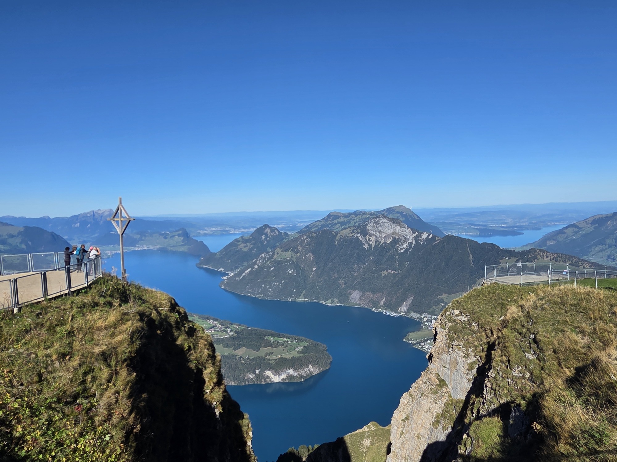
Left: Vierwaldsettersee (Lake Luzern) as viewed from Fronalpstock above Stoos; Right: The Stoosbahnen (photo by Schweizmobil). Click on the lake picture for a better view.

OK, enough train nerd stuff. Suffice it to say, if you are afraid of heights or funiculars or claustrophobically small cable cars, this may not be the place for you.

Stoos is surrounded by jagged peaks. They are not so high that they are snow covered year round, but the views from Fronalpstock – obtained by riding a two-stage chairlift – over the lake and countryside are terrific. This was a research trip in hopes of finding more easy-wanderings for our followers but there are not so many that fit our guidelines. Hikers with more stamina and better knees can hike up and on for many kilometers. It was worth a  visit for the peace and quiet. There are not many towns that are truly this quiet. We can highly recommend the Wellness Hotel Stoos an eight-minute walk from the funicular in the quiet end of the town. We can think of few other places that were as quiet and one is in Switzerland, Bettmeralp.

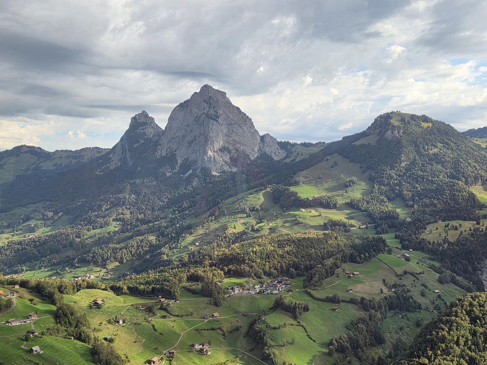
A scenic view of mountains surrounded by lush green valleys and small houses in a picturesque landscape.

View over Stoos while descending in a chairlift from Fronalpstock

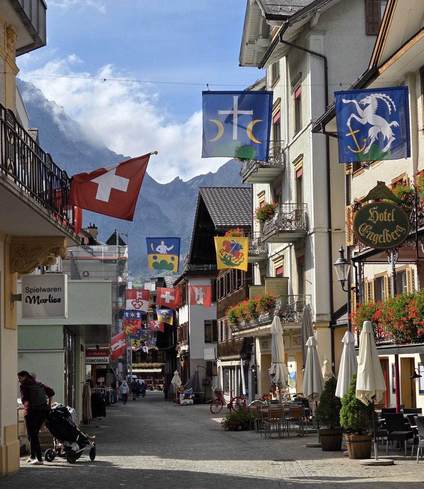
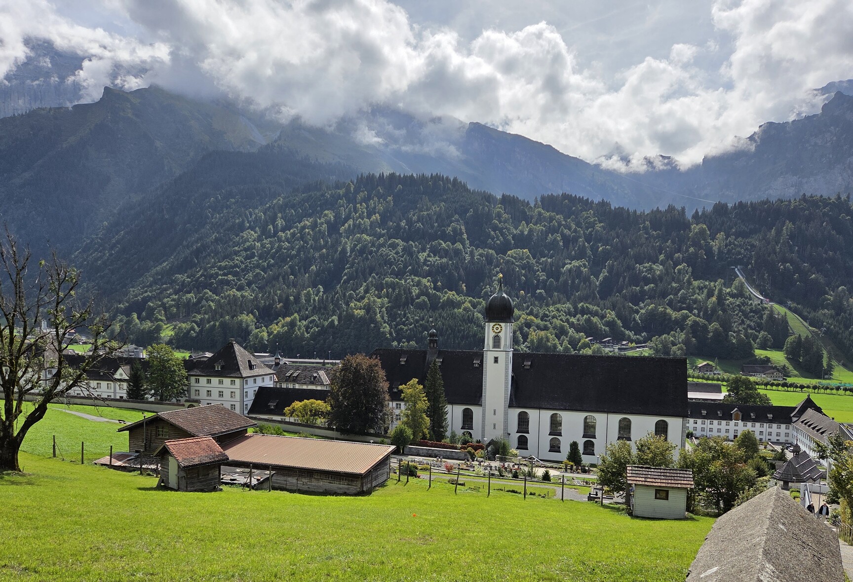
Now we are in Engelberg, at 3300 feet in elevation, but still surrounded by fabulous peaks. Mount Titlis soars over the village at 10,623 feet, glacier, snowcap, and all. We are researching easy-hiker options here as well. I’ll report on this mountain village in my next post.

Until then, Tschüss!

*Although it was the steepest in 2017, it no longer holds that honor. The Stoosbahn has a maximum gradient of 110%, but the new Schilthorn Cable Car, which we will visit in the coming weeks, was completed in 2024 with a gradient of 128%!

Landwasser Welt – A train nerd’s paradise.

7 Sep

6 September 2026.

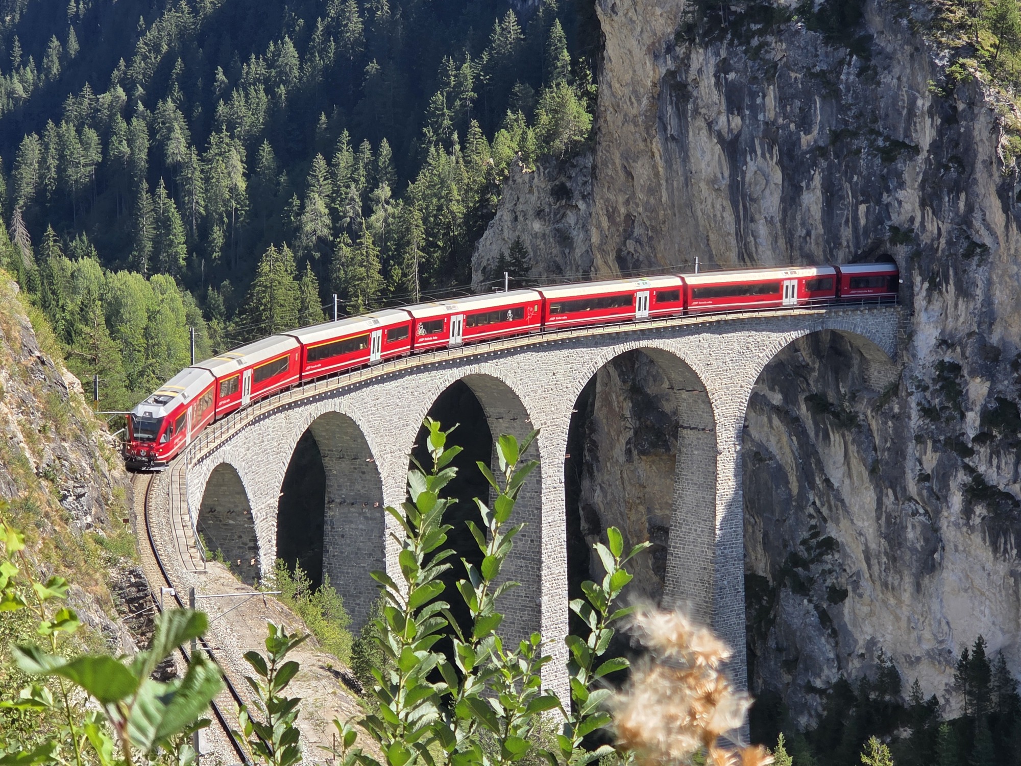
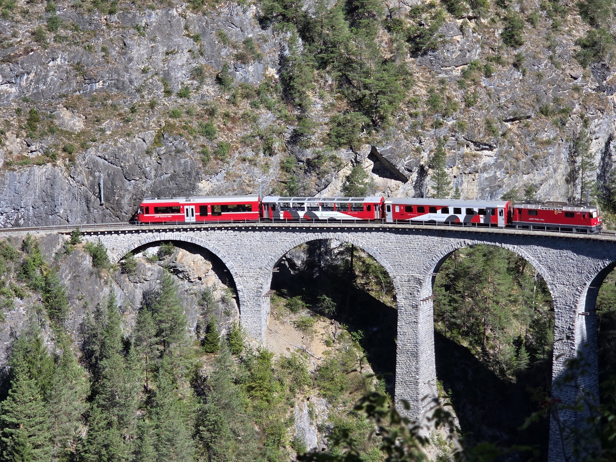
The Landwasser Viaduct from the Hennings Platform

We have traversed the Landwasser Viaduct on the famous Albula Railway at least a dozen times over the years, but I wanted to see the architectural wonder with the train on it: not from the train. Figuring out exactly how to get there and see it was not a small task but for inclusion in our upcoming book, Walking in Switzerland’s Engadine it was worth doing the research. My train aficionado husband’s love of trains has rubbed off on me in our 42 years together.

The day started out cold – low 40s Fahrenheit –  but by the time we got to our first stop in Filisur, Switzerland, we had our jackets off and stuffed into our day packs.

But back up. This adventure starts with one of the prettiest short train rides in Switzerland along the Albula railway line which boasts UNESCO World Heritage status. From the MySwitzerland tourism site:

“The Rhaetian Railway…is a marvel of railway engineering that winds its way through the Graubünden mountains thanks to man-made structures, viaducts and helical tunnels. Railway enthusiasts assert that the Albula route between Chur and St. Moritz is the most picturesque mountain route in the world and rave about the boldly curved Landwasser viaduct.”

I’ll spare you too much boring engineering talk but some keys stats:

  • Built between 1898 and 1904
  • 55 bridges
  • 39 tunnels
  • 38 miles
  • Linking Thusis at 2,287 Feet with St. Moritz at 5,820 feet

The Bernina Express and Glacier Express both travel this line as part of their scenic journeys. We enjoyed our little slice from Samedan to Filisur even though we have traveled it many times before in winter, summer, and fall. This amazing line uses a series of spiral loop (helical) tunnels to gain elevation over a short distance with viaducts and bridges for longer segments. Instead of moving straight up the valley, the train enters the mountain side and follows a continuous, rising loop inside the rock. As a result, you travel through the valley crossing over from side-to-side and an ever-changing view.

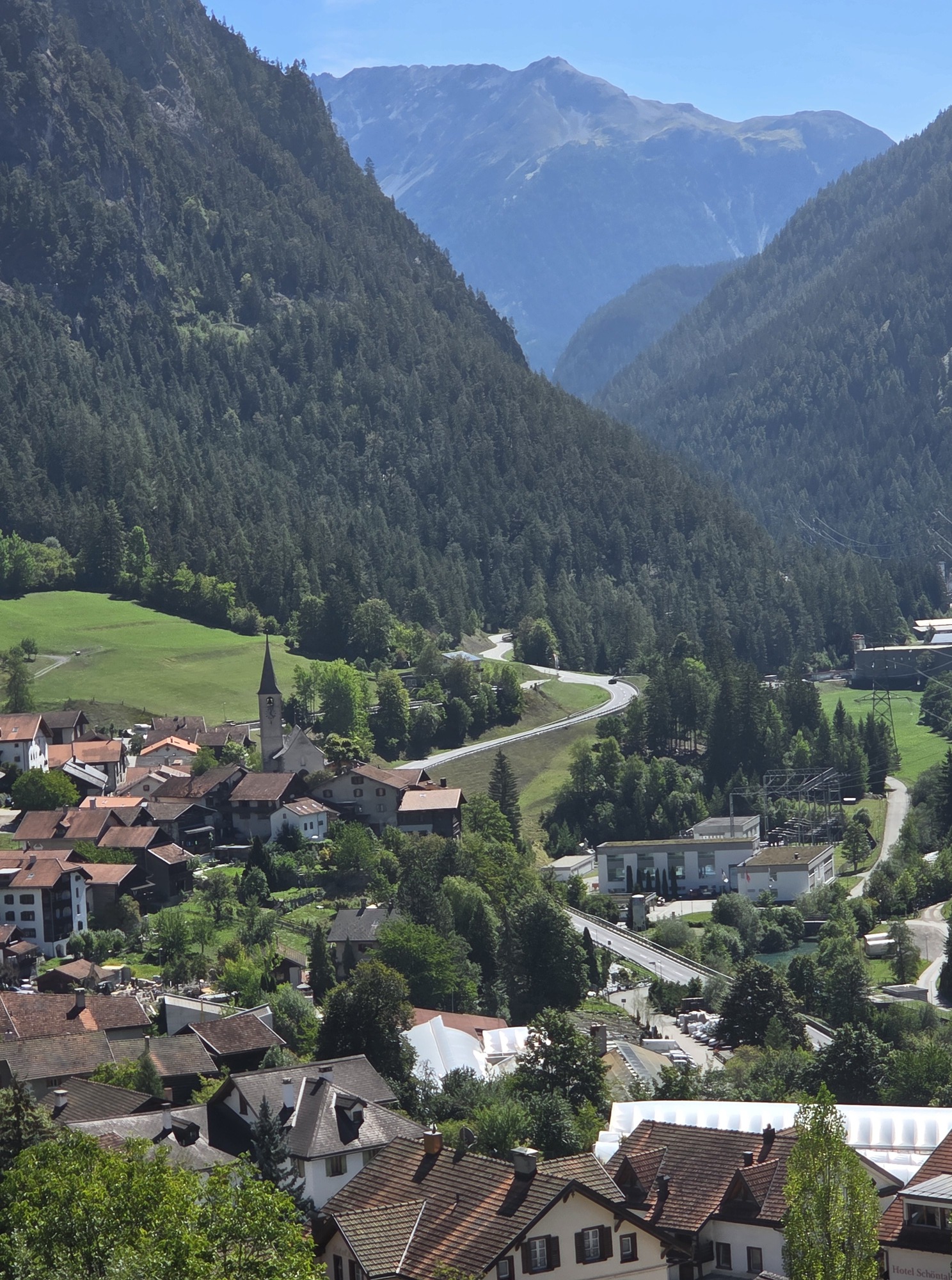
Filisur and the Valley from the train station.

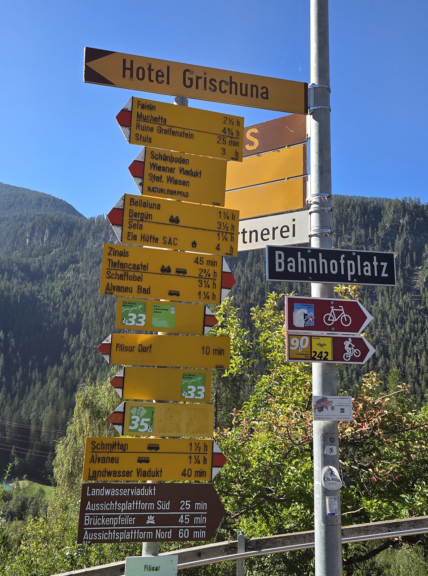
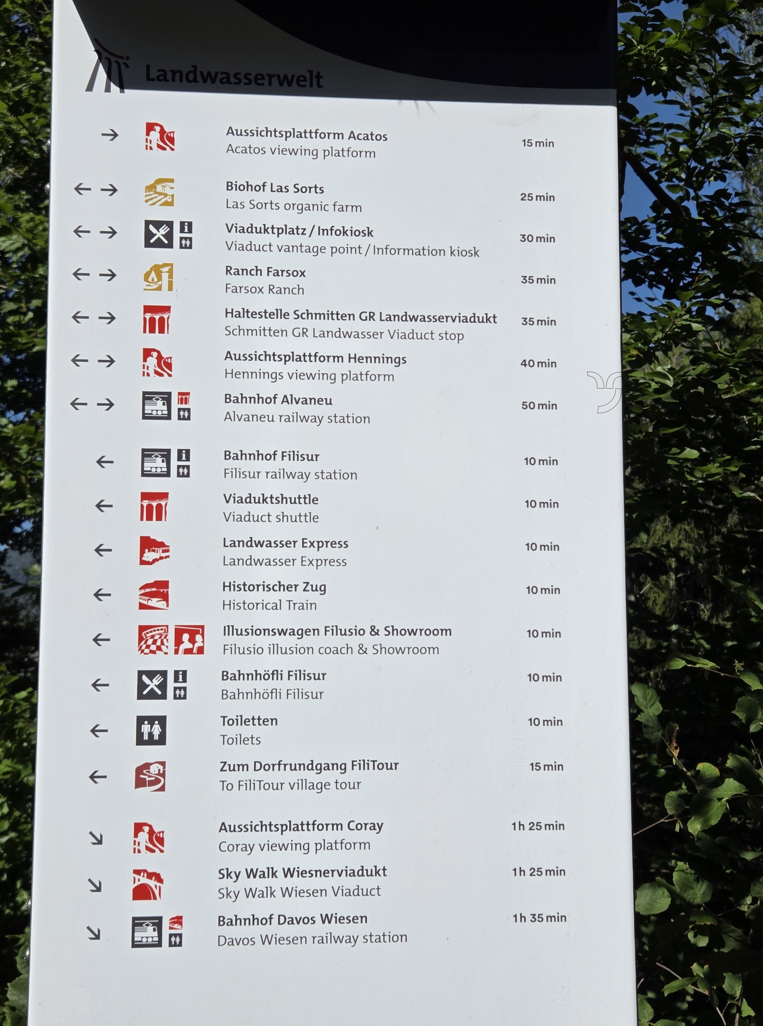
At Filisur, it was a little confusing finding the exact start of the walk; the very reason we do the research ourselves instead of just reading the online so-called directions. (We do not let AI write our books.) There was actually too much signage and the maps displayed had so many lines illustrating hikes and train routes that it was hard to sort. The guy at the Info Mobil booth was very helpful in making sure we were pointed the right way so we can carefully guide our readers.

Too many signs!

This was a nice walk. Although not pram-worthy, it is a solid “2” in our book: easy-enough, not strenuous, some rocks and tree roots to navigate. We should have had our trekking sticks for the return due to loose gravel on the downhill bits, but we held hands to prevent falling. We’ll recommend sticks in the book. It is only a 50-minute walk, roundtrip.

The Viaduct Shuttle on the Landwasser Viaduct as viewed from the Acatos Platform.

The Acatos platform offers an amazing view over the Landwasser Viaduct. We were delighted by four trains passing in about 20 minutes: One to Zermatt, others to Alvaneu, to Chur, to Filisur. Long, Panoramic Express Trains as well as short shuttles like we would take later. And only four other people visited while we were there on a glorious sunny morning in early September. By the way, there is a QR code on the platform that leads to a list of trains passing in the following hour-or-so https://kisqr.rhb.ch/stationDisplay/CulturalSights/RCS-Landwasserviadukt.

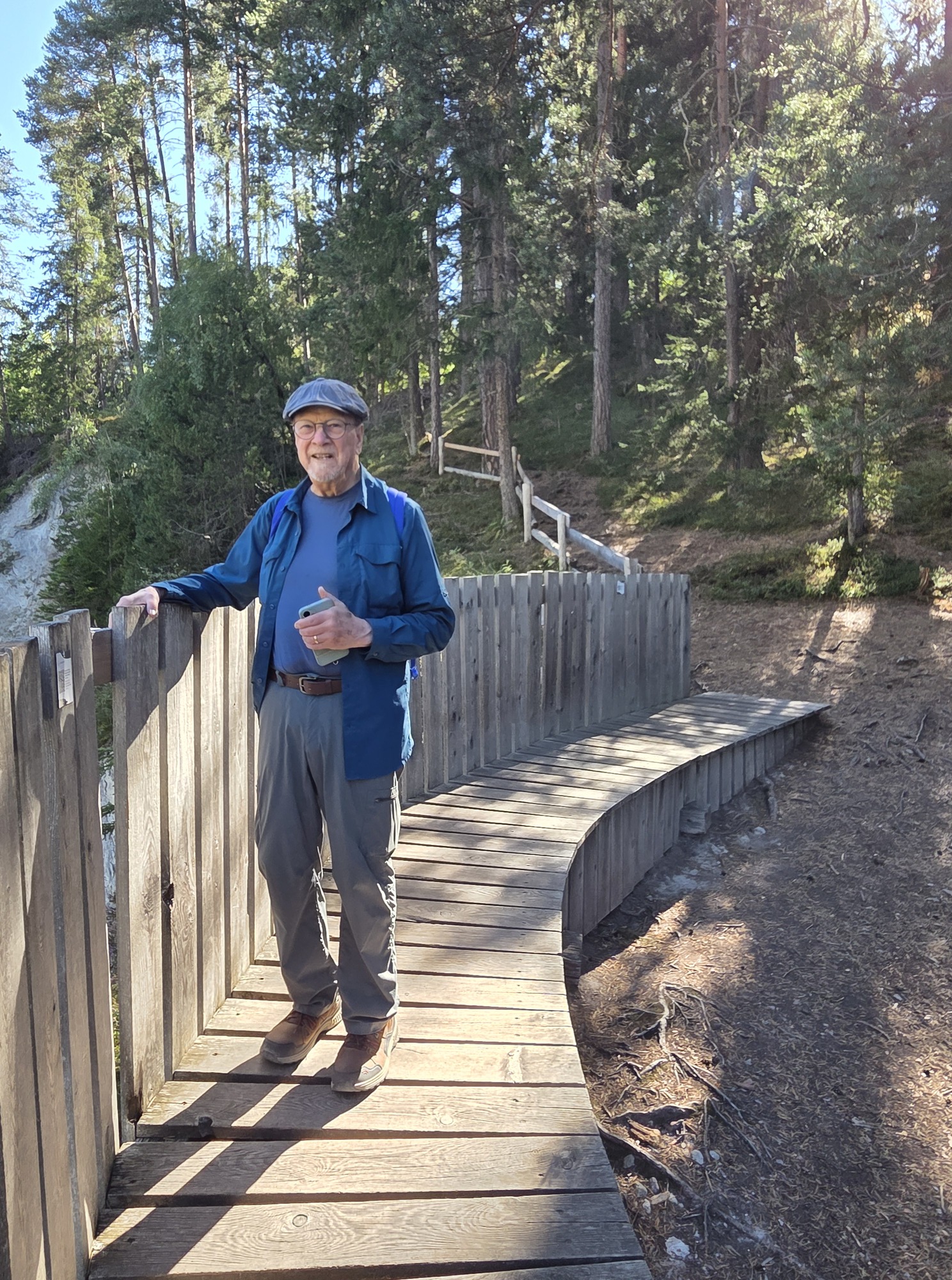
Ric at the Acatos Platform

Back at the station, we decided to grab a simple sandwich and iced coffee. The two men running the café were from Mexico and thought I was Italian when I spoke to them. Always makes my day!

The day had warmed considerably, now over 70 degrees Fahrenheit at 3500 feet above sea level. We waited for the 12:46 shuttle to the Hennings Platform happy to find shade at the station. It’s only a 3-minute trip to the Schmitten station, then a short but steep walk with loose rock and unguarded steps up to the two-levels of the viewing platform. Walking up, we were leery about walking down on the loose gravel and with no handholds on the stairs. Problems of aging knees and hips.

The rough path and steps without handrails: Watch your step!

The lower of the two platforms proved to be excellent for taking pictures of the trains. We weren’t certain they were any better than the morning shots we took from Acatos but viewing the pictures from Henning’s on a larger screen proved us wrong: The Henning’s Platform is superior for photography. We hauled ourselves up to the upper platform which was very nice nice for hanging out between trains and also had a great angle for photos. Light shade and a bit of a breeze made the wait tolerable since we had a long one.

Time of day matters: we had to wait a long time for a return shuttle due to a midday pause, and we only caught one major train during that time, so we were there in a period of light traffic. We weren’t sure how long it would take to pick our way down. Ric had his hiking sticks along so armed with one hiking stick each, we headed down early, catching sight of one more long train headed north. Luckily the sticks helped a LOT with stability and we were on the train platform with plenty of time, waiting for the shuttle in the heat.

That gave us an excuse back at the station to indulge in ice cream while waiting for the 15:00 train back to Pontresina.

This outing will definitely be in the book: trains and light hiking with a suggestion for time of day for the most efficient visit. There is also a terrific museum at Bergün, which we visited last year, that is a must for train enthusiasts. A very full day out for train nerds could include our tour today as well as a stop in Bergün for the Albula Railway Museum.

Hennings upper platform where train lovers can hang out, picnic and wait for trains to pass.

Our visit also opened our eyes to how much else is on offer in Landwasserwelt. Countless hiking paths beckoned, the village of Filisur yet to be explored, and a chairlift to a mountain restaurant we did not have time for, all contained in the gigantic Parc Ela, a regional nature park within Graubünden.

Beyond having a nerdy train day, we are exploring other parts of the region, revisiting some places from past trips to finalize details for the book, and exploring some that are new-to-us.

The weather is beautiful! The Swiss could use the rain, but these travelers are enjoying clear skies and few people. Apparently, there is a shoulder season here, still.

So many things to do in Landwasserwelt!

Trail etiquette

4 Aug

4 August 2026.

Ric and I have a habit of saying good morning, hello, ciao, etc., whether we are out for a neighborhood stroll or a hike in the Swiss Alps. Recently it struck me that we encounter a number of people on our local wetlands trail who studiously avoid eye contact. They don’t acknowledge that anyone else could possibly be sharing the space with them. Perhaps they are absorbed in meditation or maybe listening to a book, podcast, or music through ever-present earbuds.

Maybe they are simply anti-social or fear being dragged into a conversation with a couple of random old people.

Do you say hello to everyone you meet when you are out for a walk? Does it matter if you are on the sidewalk in your neighborhood or in your local nature park? How about if you are out for a hike in a more remote location, like the mountains?

I have always considered it polite to recognize people we see on the trail. Mostly people we meet coming from the other direction but also those we may pass when moving at a faster pace. It is de rigueur etiquette when hiking in the mountains in Italy and Switzerland. Everyone either starts the greeting or responds. Ciao, Buongiorno, Morgan, Grüezi, and Hello are all common. But why? You’re never going to see these people again. So what?

Turns out there are very good reasons and much precedent rather ingrained in some cultures. I happened upon an enlightening article in Italian (use Google to get a good translation) about the very need to greet those sharing the trail with you.

First, and in my mind of major importance, is the practical purpose of being able to recognize those whose paths we have crossed in case you – or they – encounter trouble. Details of where they were and when can help rescuers immensely. Using a greeting to a passerby can imprint that person on your memory and you on theirs.

How easy to lift a hand in greeting or say “Hi.”

It helps to learn the words in the local languages.

  • Ciao, Salve, and Buongiorno do the trick in Italy. They mean Hi, Hello (formal), and Good Morning, respectively. Note that Buongiorno works as “hello” throughout the day.
  • Guten Morgan, Hallo, Guten Tag, and Grüß Gott are used in Germany and most of Switzerland, the first often abbreviated as simply Morgan.
  • In Switzerland you’ll encounter Grüezi quite often, except in the eastern French-speaking areas where, not surprisingly, you’ll hear Bonjour.

It is common to extend your greeting in one language and hear something entirely different in return. Grüezi may invite Grüß Gott especially from Bavarians. If “Hello” works best for you, great!

The article underscores other great practices.

  • “Pack it in, pack it out” is a familiar mantra for wilderness campers, but it matters just as much for walkers. Don’t toss apple cores or orange peels on the trail; biodegradable does not mean harmless. Human waste should always be removed. A bear can go in the woods; you need to leave no trace. Our books recommend carrying small bags in your daypack for this purpose. We prefer zipper bags, which can be harder to find in Europe, so it’s best to bring some from home—along with wet wipes.
  • Silence and Calm. No one walks along singing “The Happy Wanderer.” No one. Respect nature and enjoy the sounds of the birds. Engage in quiet conversation with your hiking partners but keep the raucousness for the pub afterward. I would add, when walking in the mountains, ear buds and audio books are probably not a good idea. Be alert to your environment for safety if nothing else.

Julie Andrews may have sung to the hills. You should not.

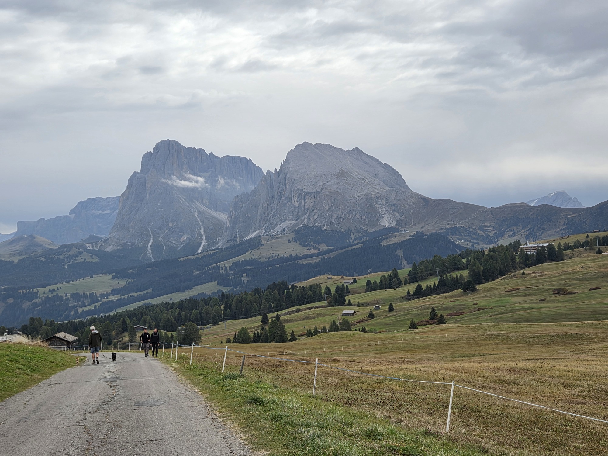
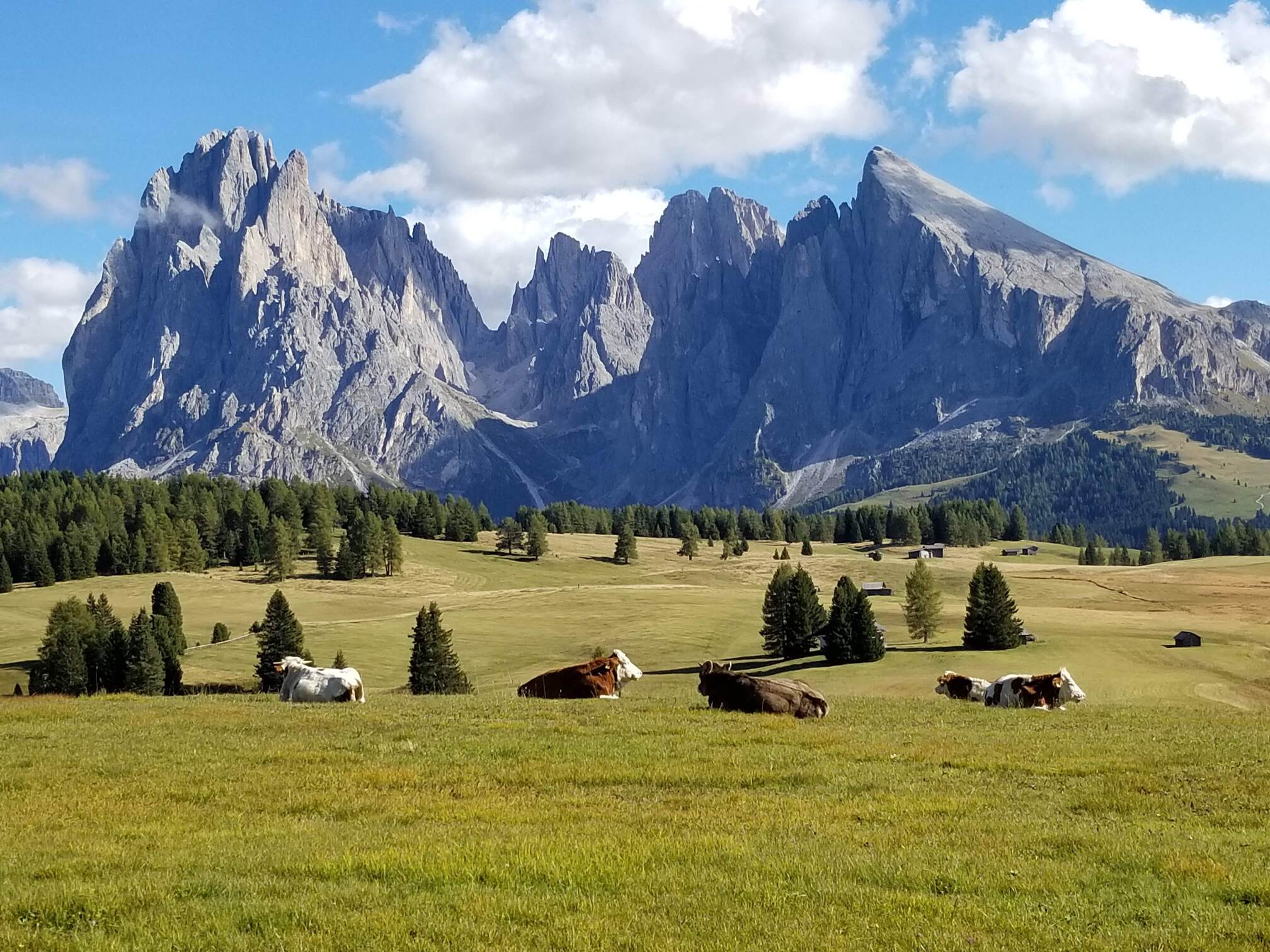
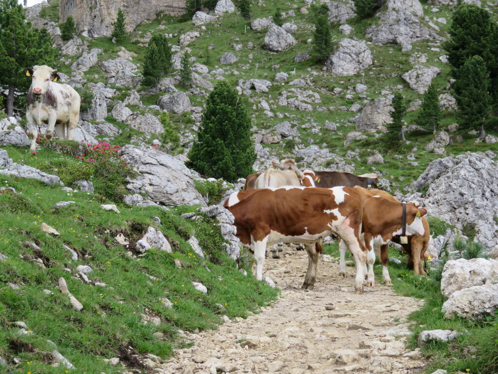
Avoid animal encounters. The most dangerous thing Ric and I have encountered is a herd of trail-blocking cows. They were HUGE and we were hesitant to disturb them. The area surrounding the trail was uneven and rocky and also occupied by the cows. No way to pass. (This was in the Alpe di Siusi, my photo below.) Luckily, along came a German-speaking woman clearly used to dealing with livestock and she was not afraid of shooing them along.

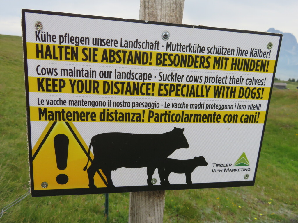
Trail blocking cows can be intimidating but especially give the nursing mothers a wide berth! Cows can be absolute bears regarding their offspring. Never come between them.

We are off on our annual adventure soon. This year’s trip theme is Mountains, Mountains, and More Mountains. We will seldom be below 5000 feet above sea level. Since we live at 210, that’s quite a difference. There will be cows and plenty of other trekkers. A third book is in the works featuring walking in Switzerland’s Graubünden Region, especially the Upper Engadine. Watch this space!

Basel Wrap-up

15 Oct

15 October 2025.

Schweizerdeutsch and Italian mix with occasional Chinese and other tongues and reverberate off the buildings in our neighborhood. Children play outside and even adults glide by on scooters and bikes, laden with packages from the nearby Migros. Apartments blocks are six-stories high and and tightly packed, as with any high-density city. Parking is scarce. This normal, middle-class neighborhood in a vibrant city has been our home these past two weeks.


We chose Basel as a base for two reasons: (1) It is somewhere we have never spent any time and (2) its location in the tri-country region, the Dreiländereck (border triangle) of Switzerland, Germany and France, offered the opportunity to explore a small part of Germany, the French Alsace, and this pocket of Switzerland.

Ric at Cité du Train, the largest railway museum in Europe, with a vintage carriage; One of many vignettes staged in older railroad carriages, this one depicting an Italian family in 3rd class early 20th century. The oldest locomotive in the collection.


This year’s plan is to spend two weeks in each of three mostly new-to-us locations, establish a base, and explore the area. Samedan, our earlier stop, we had passing familiarity with as we had stayed in nearby Pontresina twice (see On the Road Again). Our familiarity with Basel extended to changing trains here several times over the years and grabbing a coffee in the station.

Our apartment is on the 3rd floor (4th American) of a late 20th century building: in other words, modern. Jennifer, our kind host, fully remodeled the unit a couple of years ago so it is quite comfortable and easy to live in. The windows have great soundproofing and automated shutters, critical as those charming neighborhood sounds become annoying when the gathering across the street, watching a match on Saturday night, cheering and jeering, are still doing so at bedtime. There are three grocery stores within easy hoofing distance, and the tram stop is the next block over.

Basel is a nice, medium-size city with a charming Alt Stadt (old city). People slip in-and-out of German, Swiss German, French, Italian, and English seamlessly. As a crossroads for centuries (the Mittlerebrücke is one of the oldest bridges on the Rhine and in the 14th  century became a significant crossing for international trade) the residents are accustomed to foreigners, although these days many visitors are here to take a Rhine River cruise, or to finish one.

The Basel Rathaus, 500 years old. The Swiss pronounce it ROTE-haus which is a play on the color red; Halloween window decor; My delightful Pacific omelet at Sunday brunch

Exploring has been challenging without a car. I thought briefly about renting one for two or three days, but I find that stressful overseas. I do not even like driving at home so one of the benefits of our travel method is not having to drive AT ALL. The trains are, of course, amazing, but transit times can be frustrating. It takes 1.5 to more than 2 hours each way for some of the places I had scoped out to visit. That’s fine a couple of times a week, but not daily.

Scenes from Freiburg im Breisgau: The Munster from the top of the Schlossberg; The unique channels in the street to manage water accentuated with little figures in front of a toy store.

Still, we found things to do and visited some lovely and interesting places.

  • Our path to lunch “art” walk (Crossing Borders) was obscure but lovely and so very close to the city yet far away in atmosphere.
  • A circuit through vineyards above Turckheim and lunching on an Alsatian specialty, the Tarte Flambé.
  • Visiting the old towns of Solothurn, Freiburg im Briesgau, Neufchâtel, and Rheinfelden, each with its own character and few tourists.
  • The largest railway museum in Europe, the Cité du Train at Mulhouse (muh-LOOZ) France. Unbelievably well curated and interesting.
  • An informative and free city walking tour in Basel (tips appreciated and well worth it).
  • The Basel Zoo where we were introduced to species with which we were unfamiliar. Black-and-rufus Sengi, anyone?
  • A walk in an Alsatian wetland La Petite Camargue Alsacienne, just a quick train ride into France, near the airport, but a world apart.

Cute little Turckheim top row: Gate, once imposing now welcoming; Main square with church; my Alsatian Pizza, aka Tarte Flambé. Bottom row: Vineyards surround Turckheim. We saw almost no one on our walk, just farmers in their fields. Last photo, the Collegiate Church at Neuchǎtel.

We are not museum people, as a rule. These days they are places to go when there is bad weather or there is a particular show or collection to view. (Although, I would go the the Orsay any day, if only for the Van Goghs.) The Tinguely Museum, with creations from the mind of an innovative mid-20th century artist, Jeannot Tinguely, was well worth our time. That said, there are abundant museums of interest and one could fill two or three days. But we had good weather so ventured out.

Tinguely Fountain, Basel

We missed several places I had hoped to go in the Alsace due to travel times. 2.5 hours each way to Ribeauville was not happening. Ditto the long ride to Strasbourg. The best parts of the Black Forest were just awkward and lengthy to get to from here without a car.

Should we have rented a car? It would have cut travel times but added expense. The train fares, even with a Swiss Half Fare Card, added up quickly. Nothing is cheap in Switzerland, although it was a pleasure to pay in Euros when we ate in France and Germany.

Would we come back? Not for such a long stay, but should an itinerary require a night or two in Basel, gladly.

A two-week stay gives you the chance to get to know a place in a way you cannot in short stay. Not every sight is a Rick Steves Triple Diamond must see, but then we are not fighting the hordes in Europes hot spots. There’s a lot of pleasure in that.

Now we are in Ferrara, Italy, another town that is not on the itinerary of most travelers. So happy to be back in Italy! More to come…

Cin Cin from the land of aperitivi!

Crossing Borders

8 Oct

8 October 2025.

Monday we walked from Switzerland to Germany, passing closed border-control booths. Not in a high-mountain pass. A suburban street was our path, once again, to lunch.

Staying in Basel is part of our experiment this trip: two weeks in each of three new-to-us-places, exploring, finding places less-visited by our ilk, and “living local.” Basel is in a unique international position, a notch of Switzerland that juts into France and Germany and shares the Rhine River with both. This is a strategic shipping hub for Switzerland and the Dreiländereck, where the countries officially meet, is a mere half-hour’s walk from our apartment. Of course, since it is Switzerland, walking there is quite simple.

Our border crossing experience was not as straightforward. Ignoring spits of rain, we traveled by tram (so convenient!) to suburban Riehen to take the Rehberger-Weg, an artistically inspired walk between the Fondation Beyeler Museum and the Vitra Campus (a furniture company and design museum). Finding the start of the path was our first adventure as a construction project forced a detour. The track seemed obvious from there, but as we searched for the first piece of art we found we were off piste. Huh. Luckily, as paths cross-cross this country like plaid in a tartan, we were able to re-route ourselves with only a half mile walk for our trouble.

Top left and center, our inadvertent detour was at least well-trod and scenic; Top right, a vineyard; Bottom a distant view of Basel.

In my defense, I was guiding us with a very stylized map created by the artist. You can see it for yourself using the link above and clicking on Walking Map. Once I decoded what actually constituted art and which landmarks on the map corresponded, the going was simple enough and the views to Basel remarkable. We passed through small vineyards and past garden allotments, encountered little traffic and even fewer people. The art is, to me, obscure. They are (mostly) three-dimensional, brightly colored objects that allude to real things: a birdhouse, a streetlamp, a tree. We had fun making fun of them.


Top Row: Lookout, big enough for a human to climb into; Streetlamp; Signs. Bottom Row: Drinking Fountain (yes, it works!); Tree

The possibility of rain evaporated and we arrived at the Vitra Campus just in time for our Noon lunch reservation. Lunch in Germany, priced in Euros, was a treat both gastronomically and economically. A bus directly to our neighborhood left from Vitra every half-hour made our return uncomplicated.

Top Row: Vegan quiche and organic salad at VitraHaus Cafe; A Vitra-designed chair for €429 which doesn’t seem bad until you realize it is a miniature like those in the case in the bottom row; A bit of elephant whimsy. They are for sale.

The path was envisioned as a 10-year project in 2015, and it officially ends this month. Presumably, the art along the route will go away…at least in time. We were lucky to have it as a guide.