From the Alps to the Dolomites

5 Oct

6 October 2026.

Ciao from Italy! After nearly two weeks in one happy place, the village of Wengen in the Berner Oberland, we made our way to Italy. Our time in Wengen was devoted to researching necessary book updates so we took to cable cars, mountain trains, and trails to check out what’s changed. In the two years since our last visit there is a new cable way to the Schilthorn, a major renovation of the famous Piz Gloria, and a super fast gondola at Grütschalp. All of this to move the ever-growing hoards of visitors more efficiently through the landscape.

I am pleased to report the trails are not as busy as the transportation options. It seems many travelers are here to jump off a train or a gondola, see the view, take some pictures, and move on to eat and shop. All one has to do to find some solitude is walk. Lauterbrunnen is chock-a-block with tourists, many of the day-tripping from Interlaken and other points outside the valley. This village, which we used to find serene, is so busy with large families and tour groups plus buses, unnecessary rental cars, and local commercial traffic, that we spent little time there. Instead, our home was in car-free Wengen where the loudest noise came from the church bells that still follow the tradition of chiming each hour.

It was still unseasonably warm. Morning jackets were not needed by midday and the evenings were mild enough that outdoor dining continued through the first of October. The crowds started to thin ever-so-slightly in our second week which made for some breathing room on the trains. And as we departed town October 3, there were signs of the seasonal shutdowns coming mid-October.

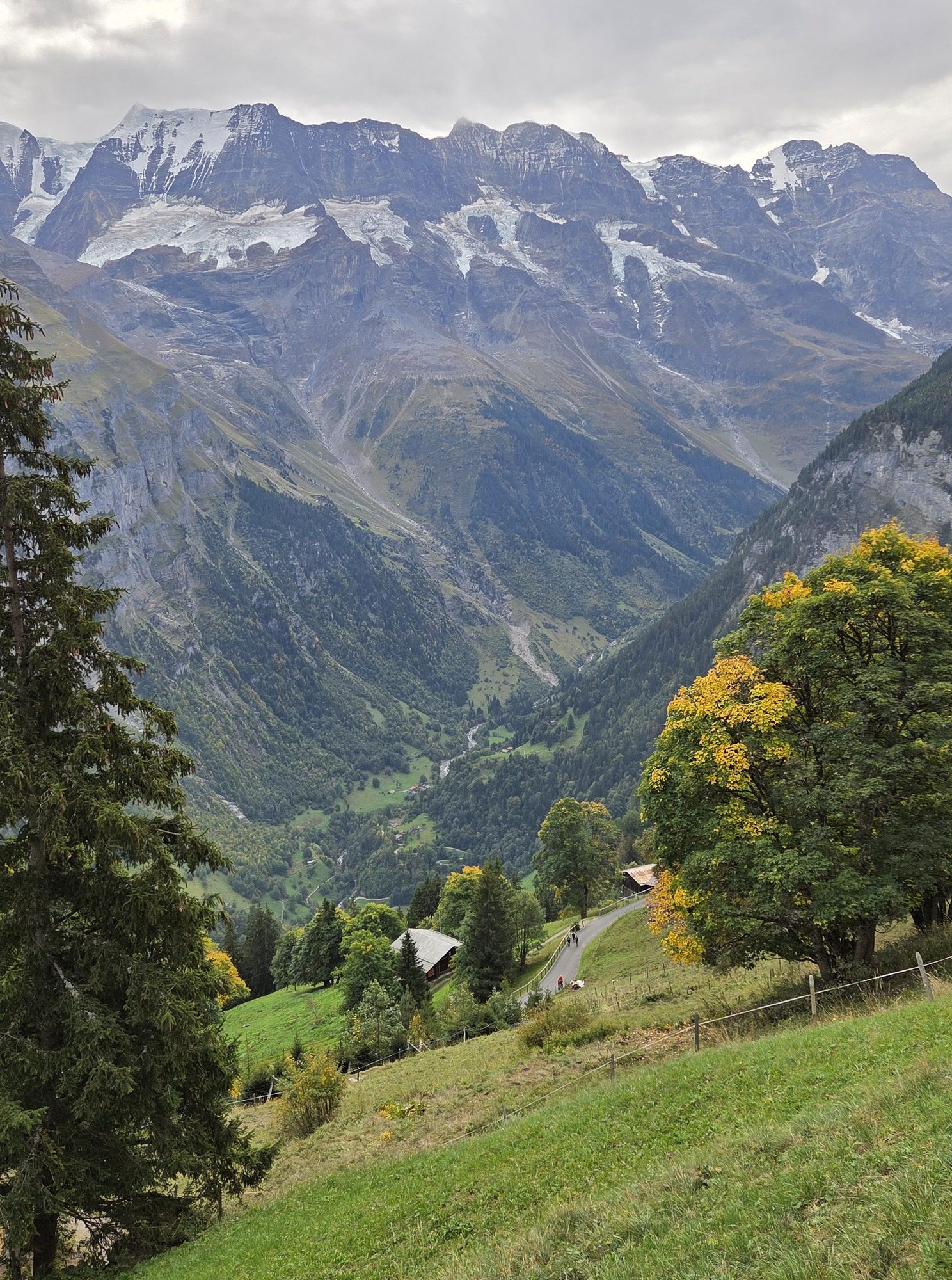
The improbable view into the valley from the Gimmelwald Trail. Easy walk, amazing views. We would shortly descend by gondola to the same level as the ribbon of river you see in the distance.

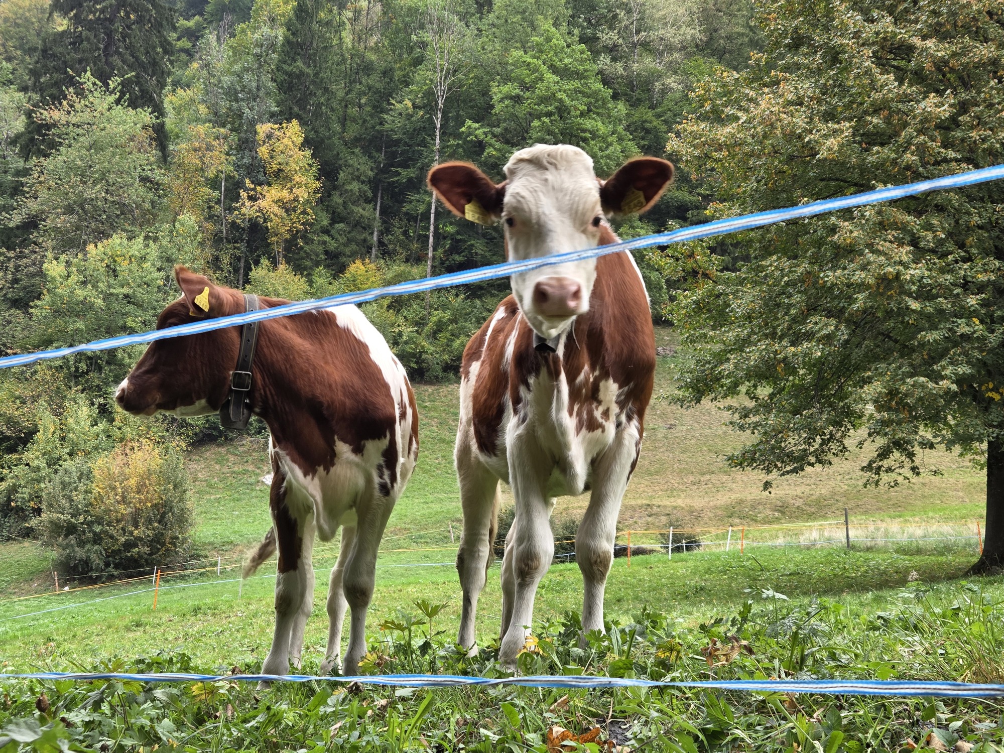
Walking a less-worn path along the Lütschine River, these curious calves came to say hello.

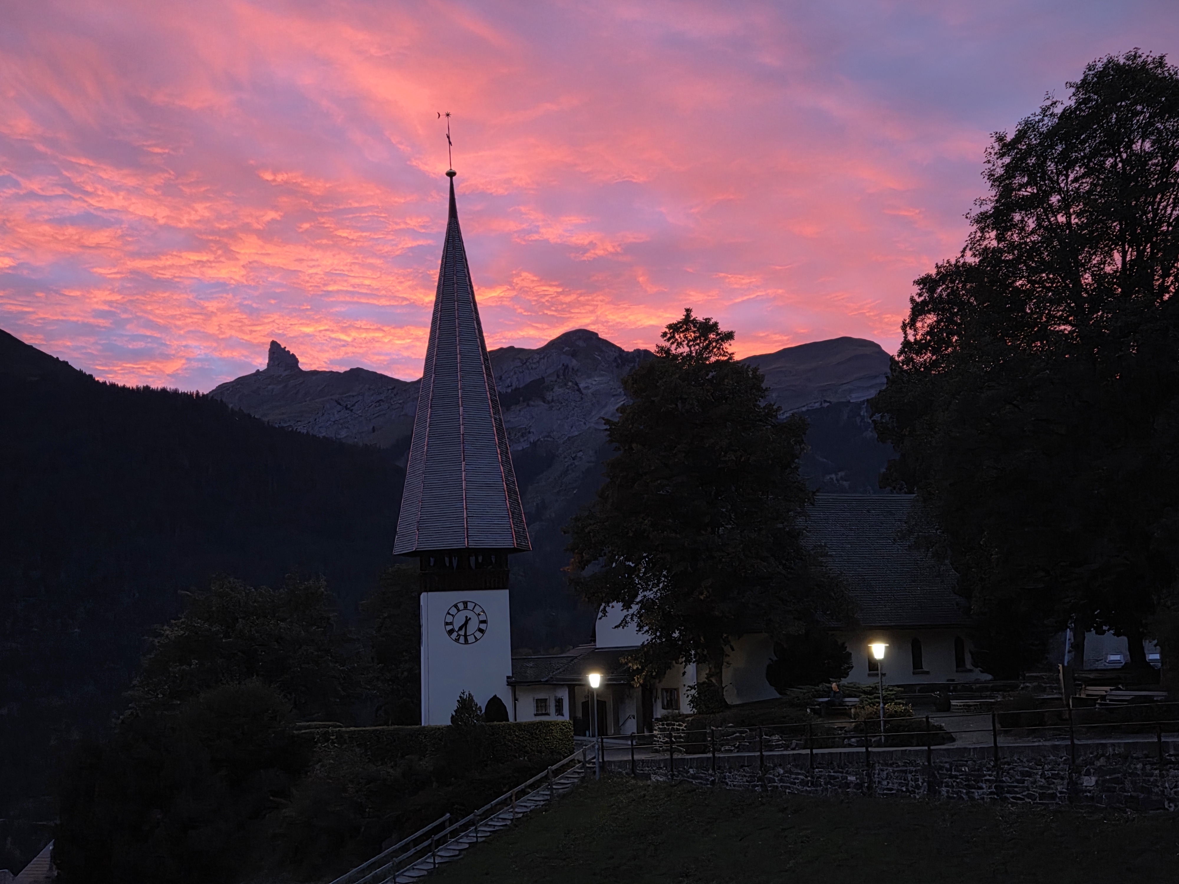
Sunset and Wengen church, view from our apartment

We moved on to the Dolomites where it is near the end of the season as well. On October 11 our favorite hotel, AlpenHotel Panorama, closes for the period before ski season starts in early December. There are about a dozen rooms occupied right now, so very quiet.

You’d think it would be an easy trip from Central Switzerland to Northern Italy — about 180 miles as the crow flies — but those darn alps make travel less than direct. It’s about 320 miles driving but by train, it took us 9 1/2 hours plus a 50 minute taxi ride to make the move. Beautiful routes, comfortable trains and the freedom to read, sleep, chat, poke at our screens, or simply enjoy the views. Beats driving.

We split the journey, spending a night in Zürich to break up the trip. That gave us a chance to stretch our legs and enjoy a summery night — crazily warm for October — dining outdoors in a fine Lebanese restaurant.

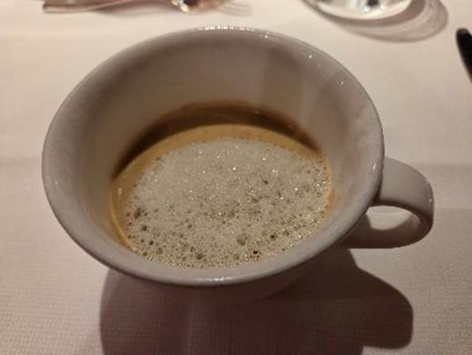
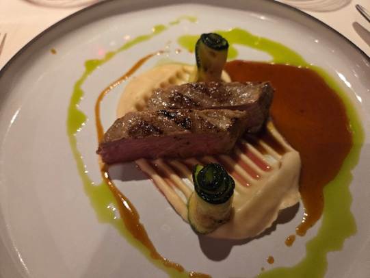
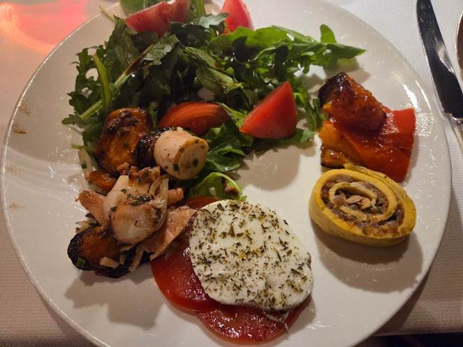
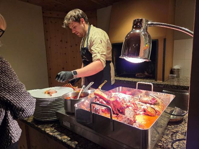
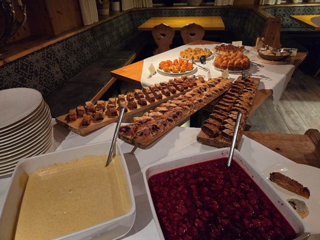
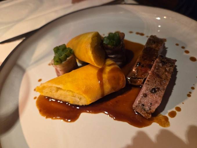
Coming to AlpenHotel Panorama is a such a pleasure after a long trip. This is our fifth stay here. We are drawn by the stunning beauty of the Alpe di Siusi, the incredible peace and quiet of this car-free place, the easy walking, and the timeless hospitality of the hotel. This is a half-pension property meaning our breakfast and dinner are included and the dinners are spectacular! Multiple courses with small portions, a simplified but elegant degustation menu. Such a pleasant respite after five weeks of travel. We don’t have to prepare a meal nor even think about where we are going to have dinner or what we might like to eat. Restaurant fatigue on a long trip is real so we like the surprise elements of a half-pension stay along with the thoughtful elegance. Such a far cry from my simply on-the-road meals which are often dinner-in-a-bowl.

Some pictures from our first evening and morning. More to come.

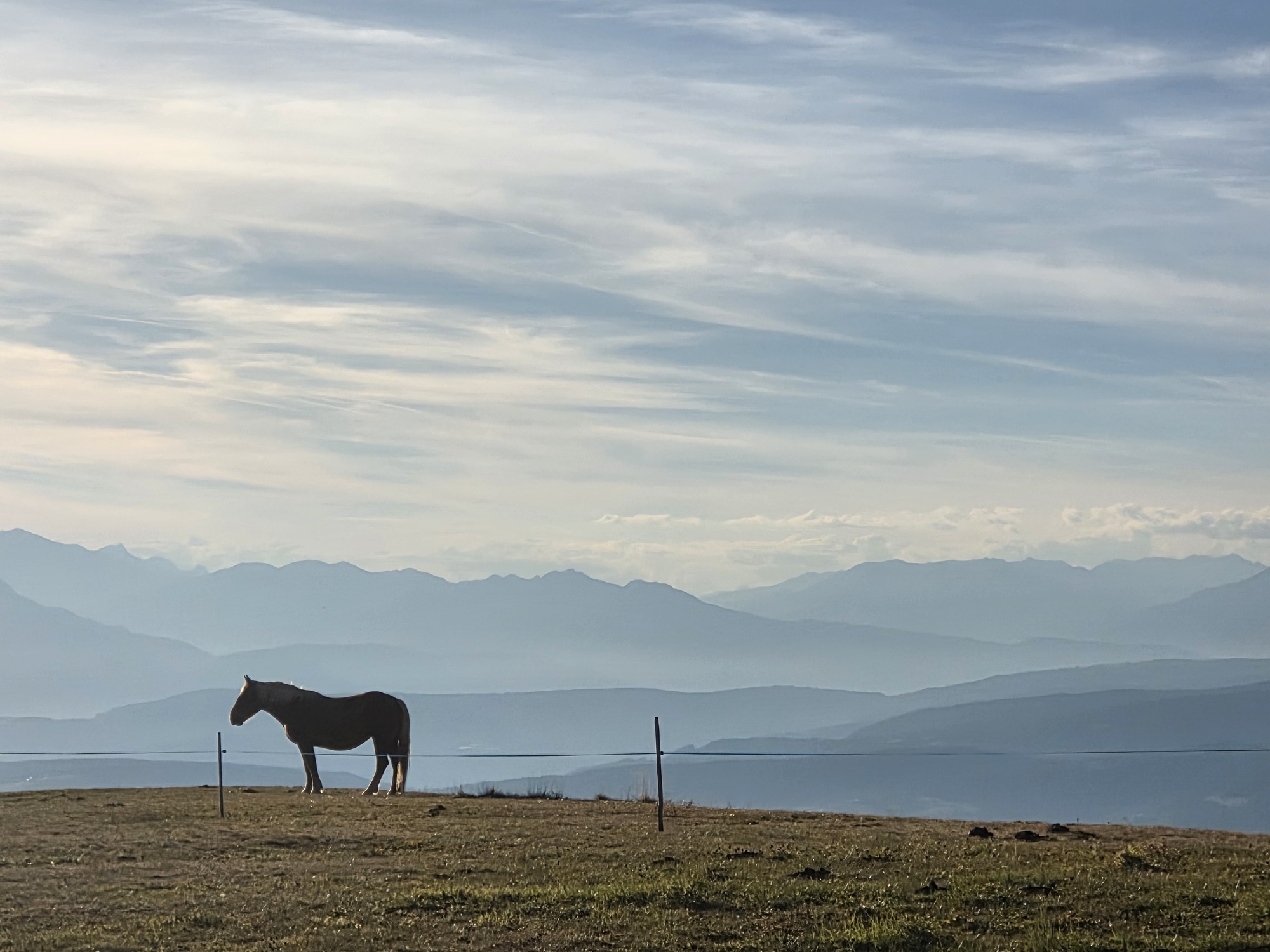
Distant mountains to our west in the fading light.

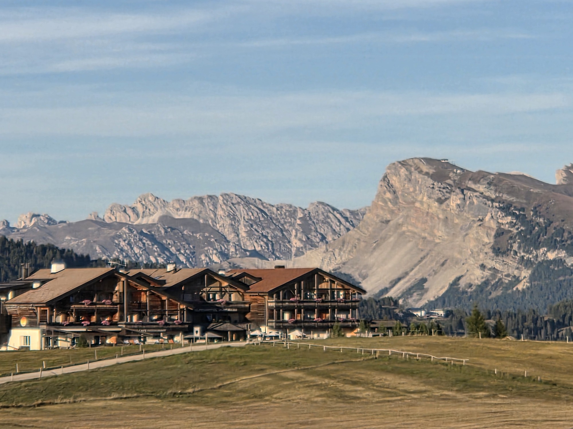
AlpenHotel Panorama, reachable by chairlift or vehicle with severe restrictions on when a private vehicle can arrive. Makes car-free Wengen look busy.

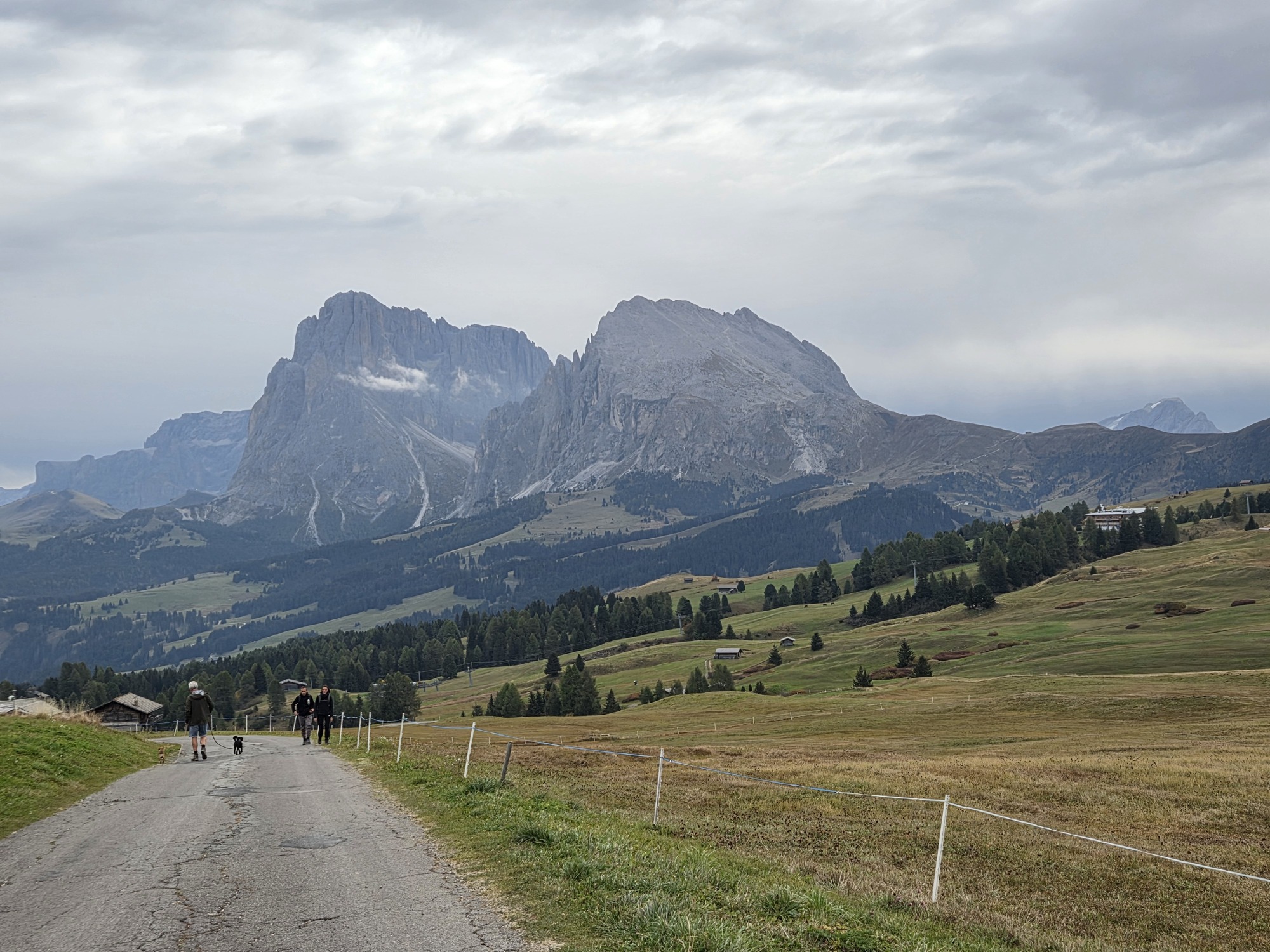
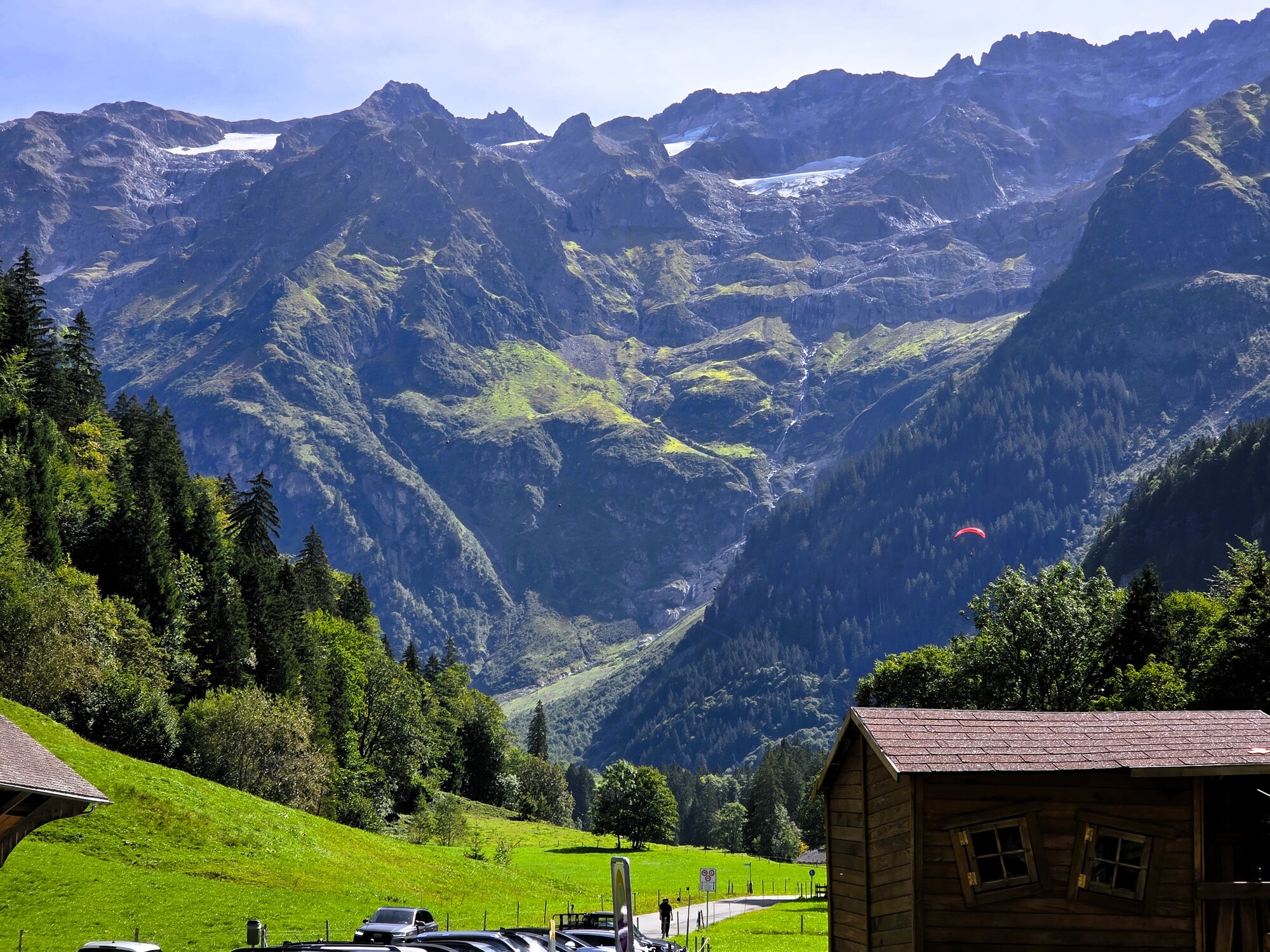
Moody morning view of the Sassolungo and Sassopiatto. Today, October 5, there was light rain during our walk for the first time in 5 weeks! The mountains are dry and the locals are praying for a good winter as skiing is a crucial part of the economy and lifestyle.

Mount of Angels: A few days in Engelberg

24 Sep

24 September 2026.

Angelic voices coming from the surrounding mountains led to the creation of a Benedictine Abbey in 1120. Smack dab in the center of Switzerland in the Canton of Obwalden, Engelberg is a charming village clinging to tradition yet offering itself to the world as a destination resort for summer and winter activities.

We are in Switzerland in shoulder season – that time ‘tween summer and skiing –  and unlike some of the more well-known Swiss destinations such as the Jungfrau Region and Zermatt, Engelberg is quiet even in mid-September when the weather is mild. Quiet, that is, until one ascends the cable way to Mount Titlis, where tour groups are drawn to the glacier, cliff walk, and rotating cable cars.  The town, however, is peaceful.

“Mild” is an understatement regarding weather. We have endured experienced snow and freezing temperatures in early September several times in the past 12 years coming to the Swiss Alps and the Italian Dolomites. This year, my long-sleeved layers, puffy jacket, and earmuffs stay nestled in the suitcase while I wear the same two short-sleeved shirts on daily rotation. Light packing is annoying when you don’t use half of what you brought. Beats the extended periods of rain we have also endured some years.

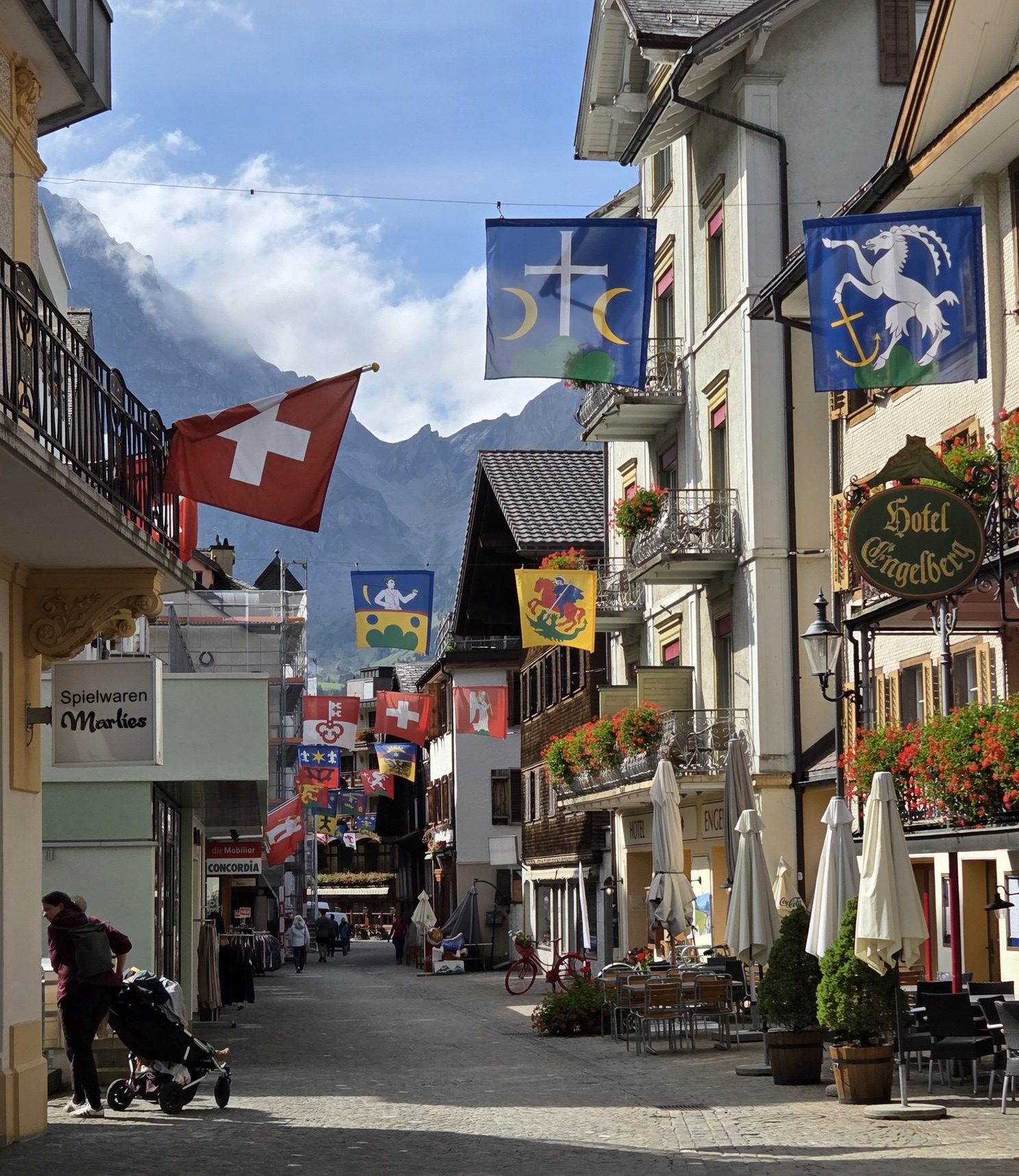
Quaint little main street in the pedestrian area of Engelberg.

Engelberg has something for everyone, as a resort community should. Golf? Check. Hiking? Everything from easy walks to a via ferrata. Paragliding, cycling, mountain climbing, swimming, fishing, cable-car excursions, skiing, exploring a glacier cave, high-end shopping: Whew!  

All of this is supported by a circulating free bus you can hop on to from one end of the valley to the other. Brilliant way to keep people out of cars.

We barely dipped in our toes in during a 5-night stay, sticking to our usual mode of exploration: on foot. While not the easy-hiking paradise we have found in other locations, we found a couple of outings that suited us and led to great views. We did not indulge in high mountain cable ways, but it is tempting to think of a return when there is at least a dusting of snow on the peaks lending magic to the landscape. It is damned dry now, sorry to say.

Leaving Engelberg behind, we ride up to the Trübsee. Cold morning departures require jackets but we shed them very quickly.

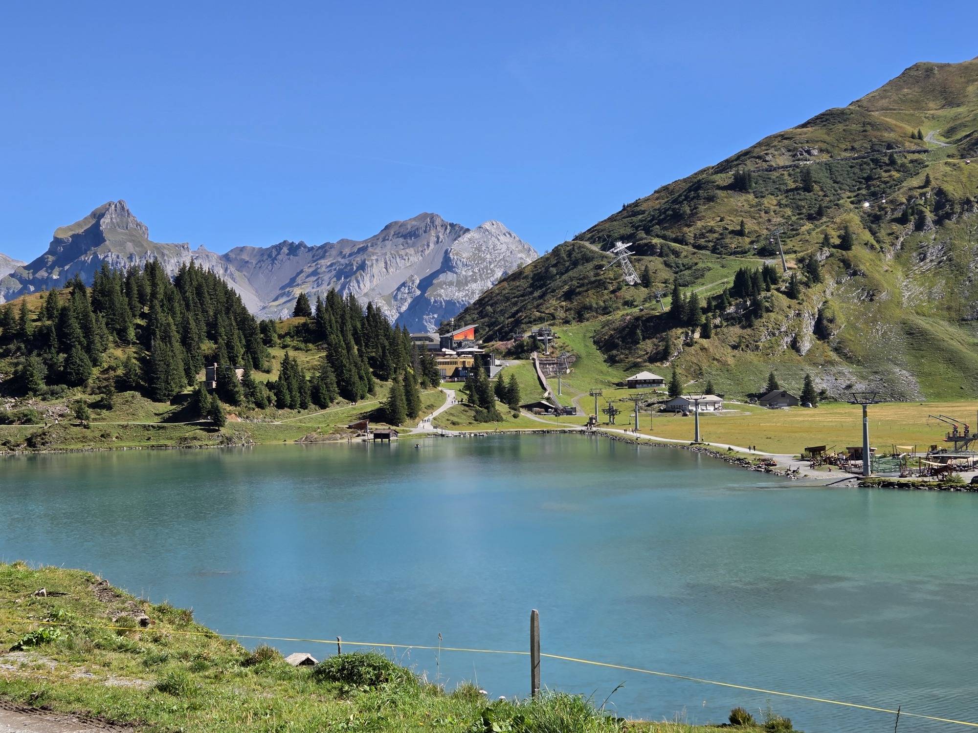
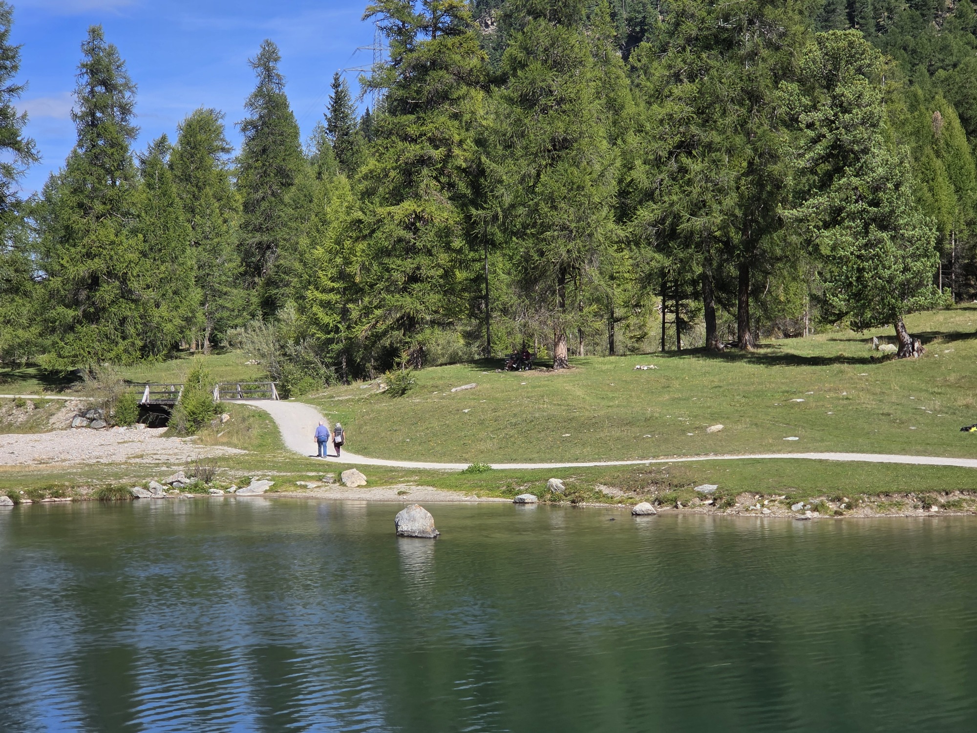
Our mountain ascent was only to the less-visited Trübsee, where one can take any of a number of walks with only the sounds of nature and a few soft-spoken fellow trekkers. Less than half the size of Lake St. Moritz which we walk around every trip, but with ever-so-few people, we still found our path to lunch walking around 2/3 of the lake before coming to the Alpstübli with views of Mount Titlis and the lake.

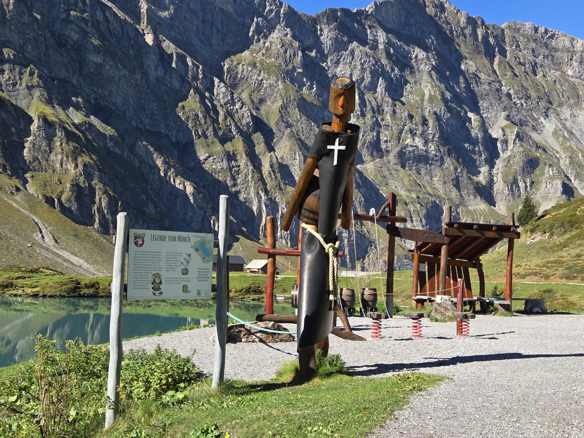
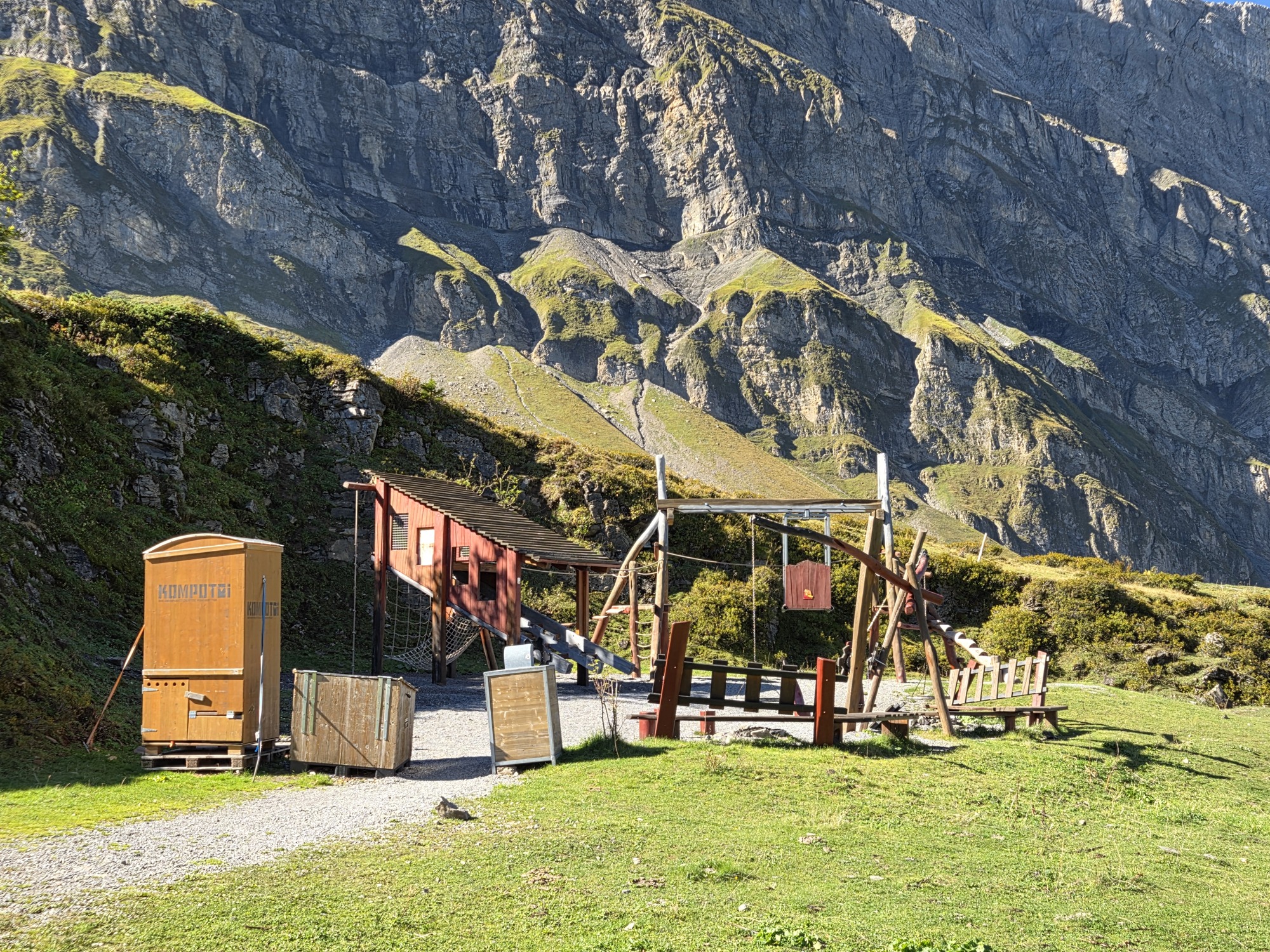
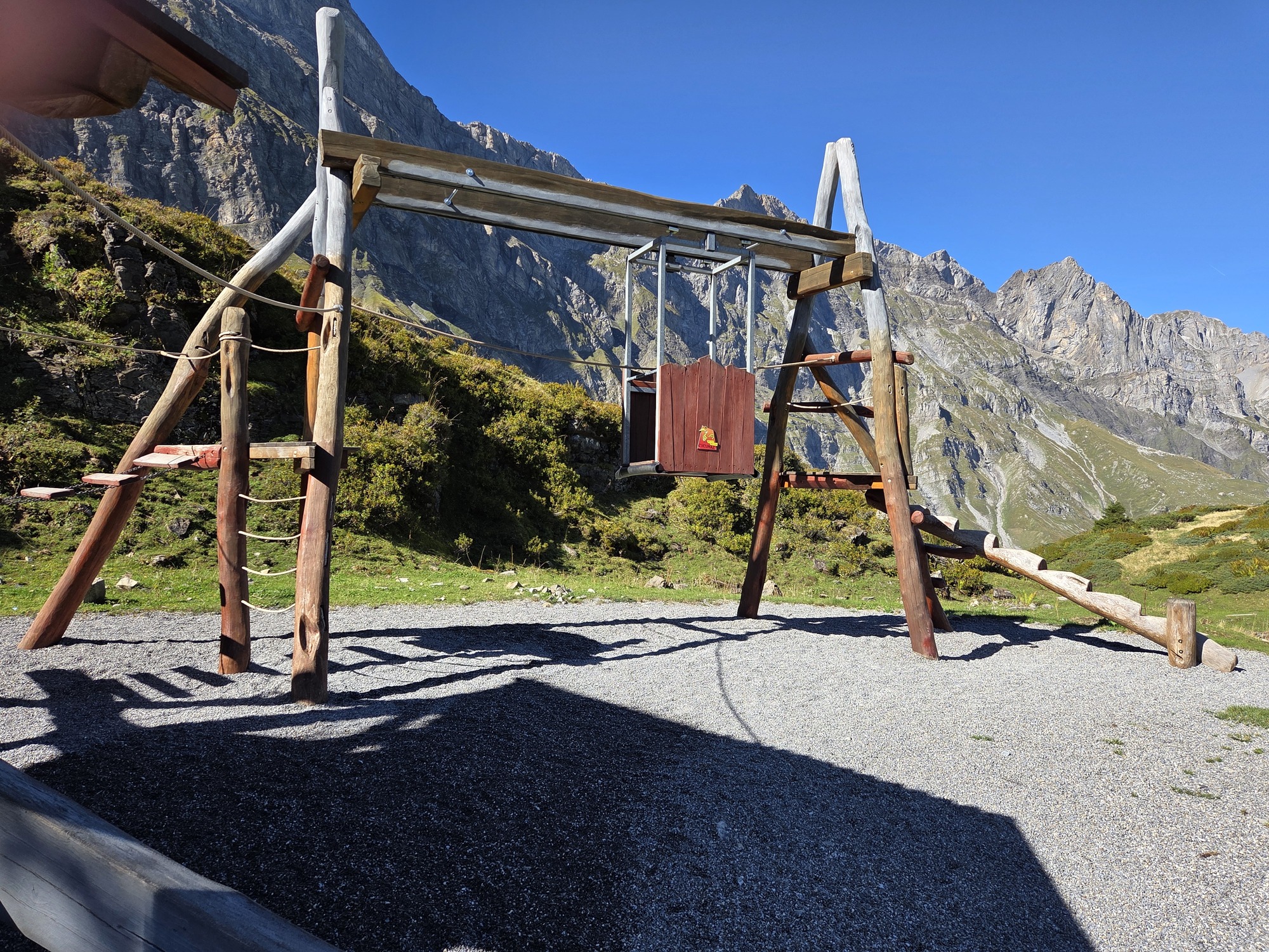
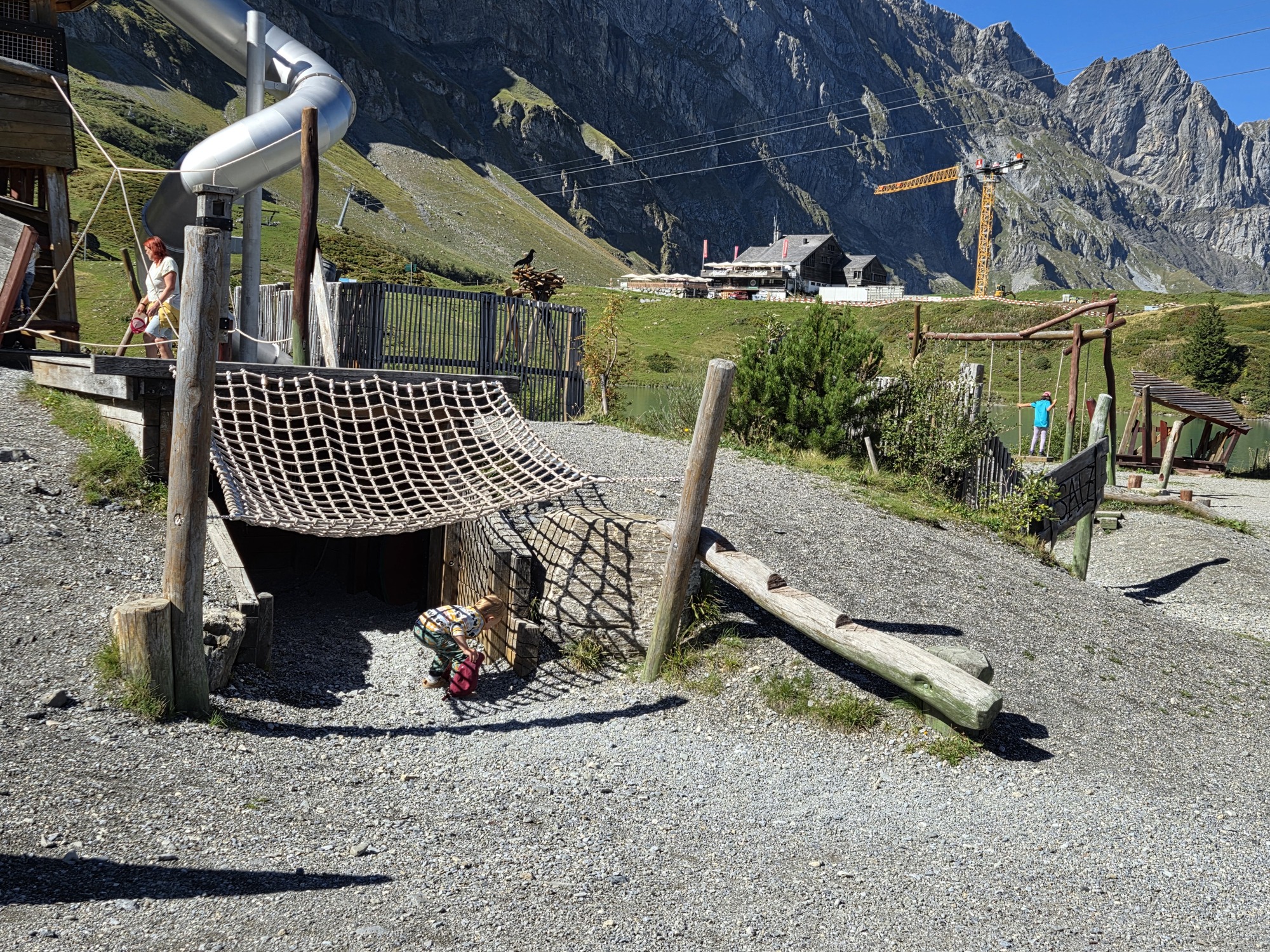
I was enchanted by the multiple playgrounds and interactive sites scattered around the lake with stories of legends and history of the area. What a great way to engage young children in outdoor activities! Some of the equipment and locations looked a bit risky. I guess these kids have to be tougher living in the mountains. We see so many of these “dangerous playgrounds” in our travels I started a Google Photo album.

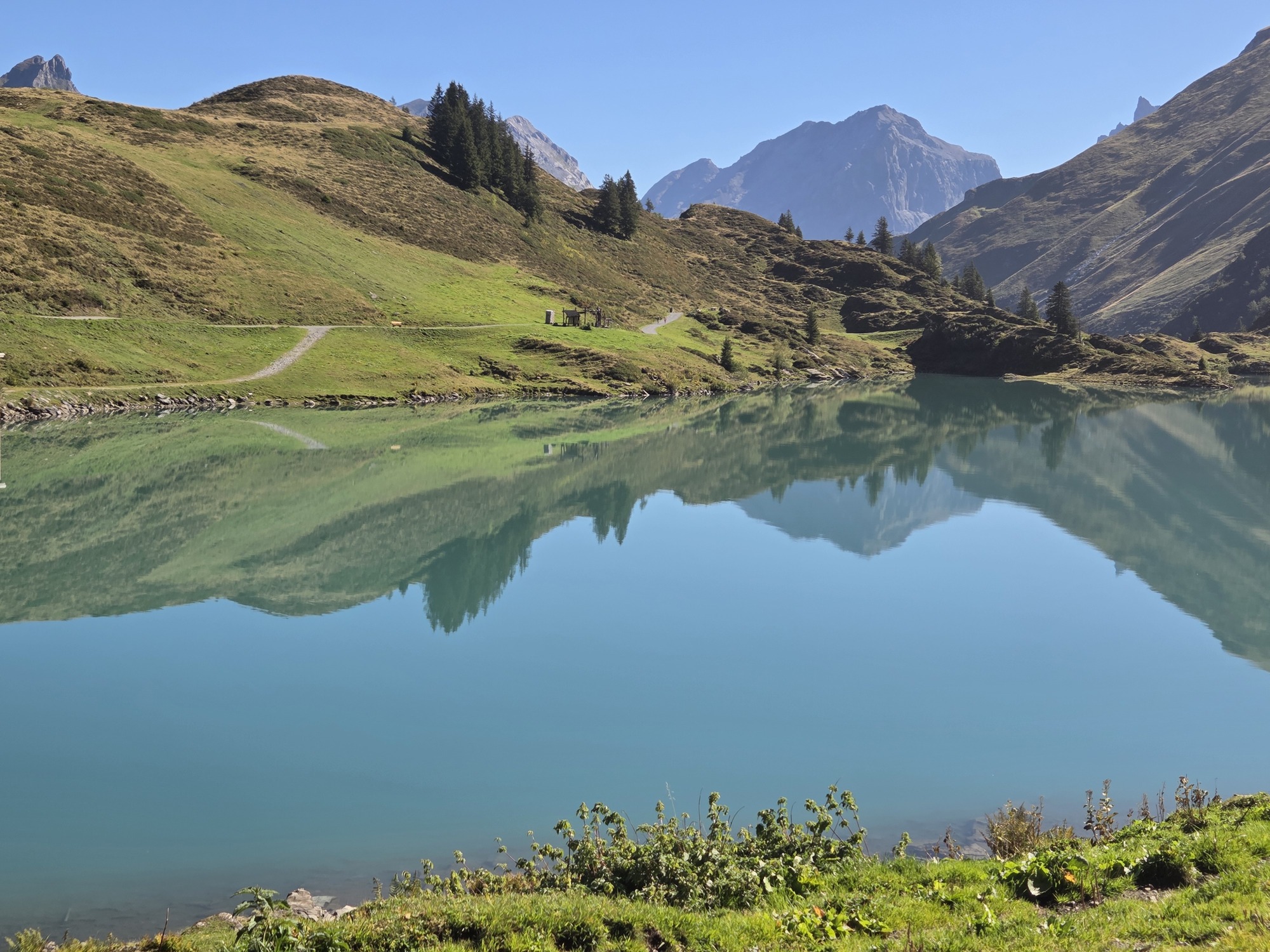
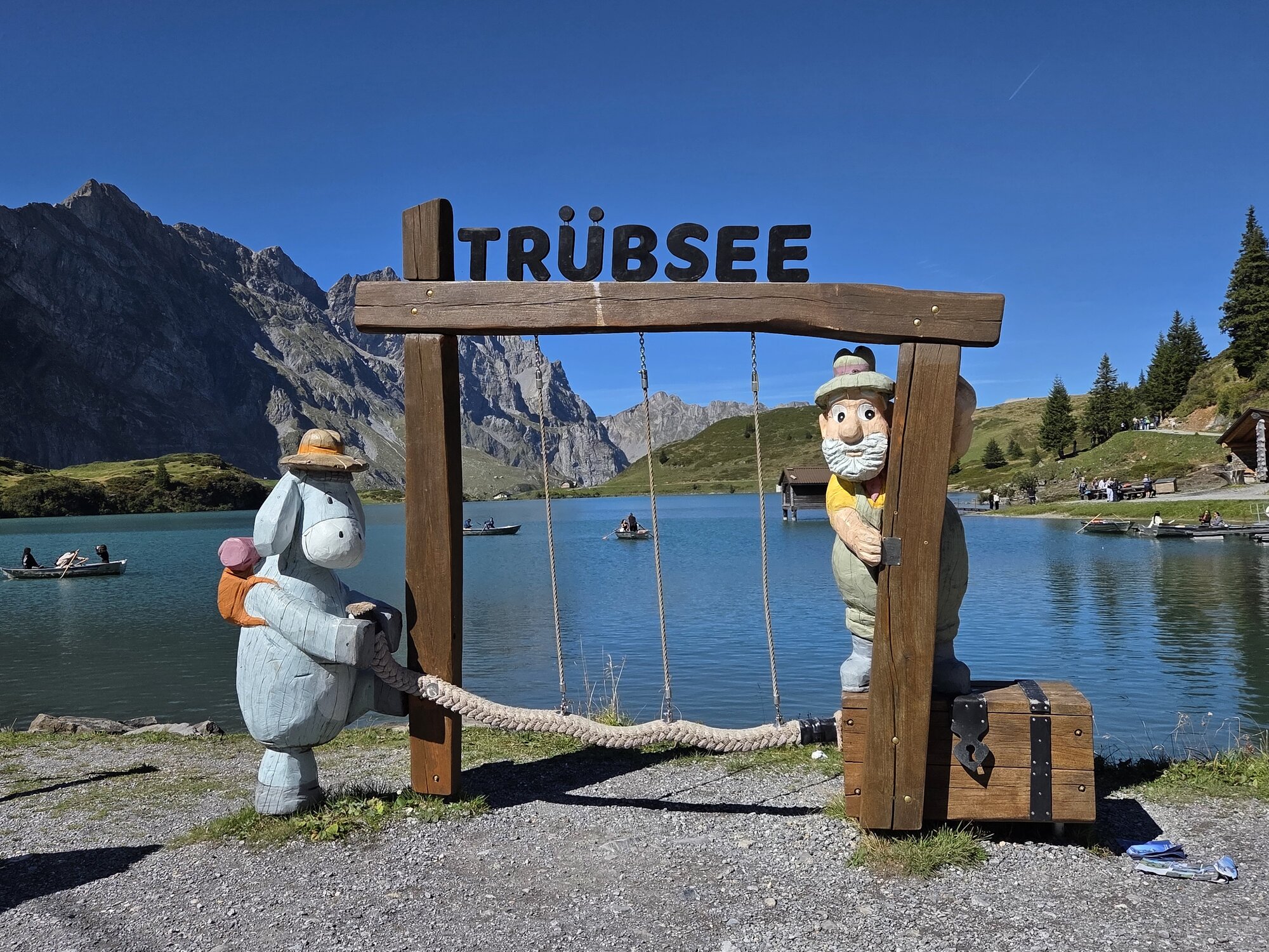
Top Row: Two views of the pristine lake, no motorized boats allowed; Playground built around a legend of a Monk

MIddle Row: Playground themed to transporting goods in the mountains; Center photo depicts a “cable car” strung so kids can play in it; Mining Camp themes playground and picnic area

Bottom Picture: The theme characters, Schmuggli the mule and Engelbert the smuggler.

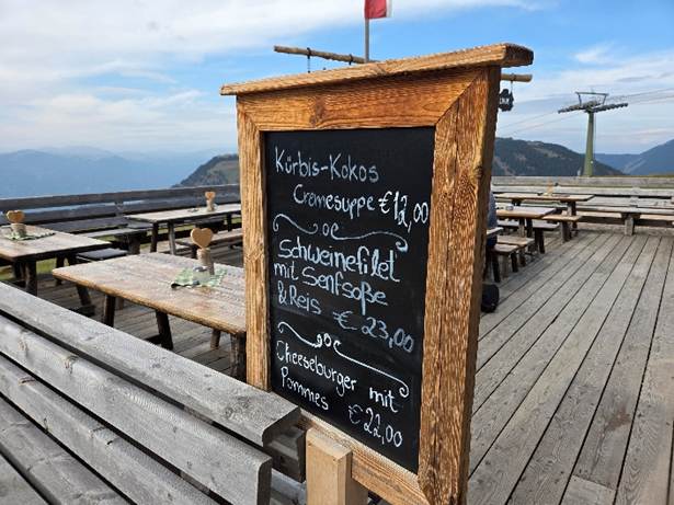
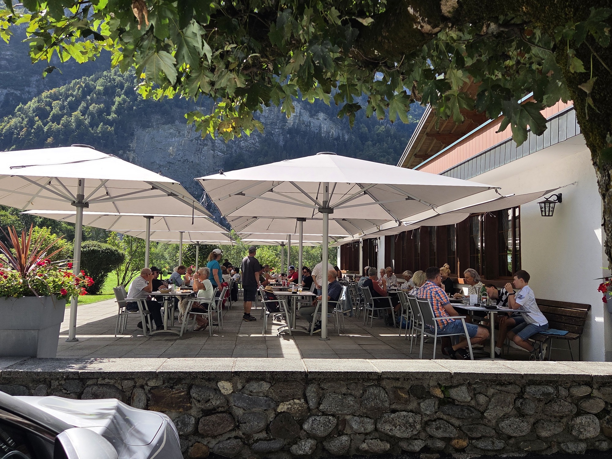
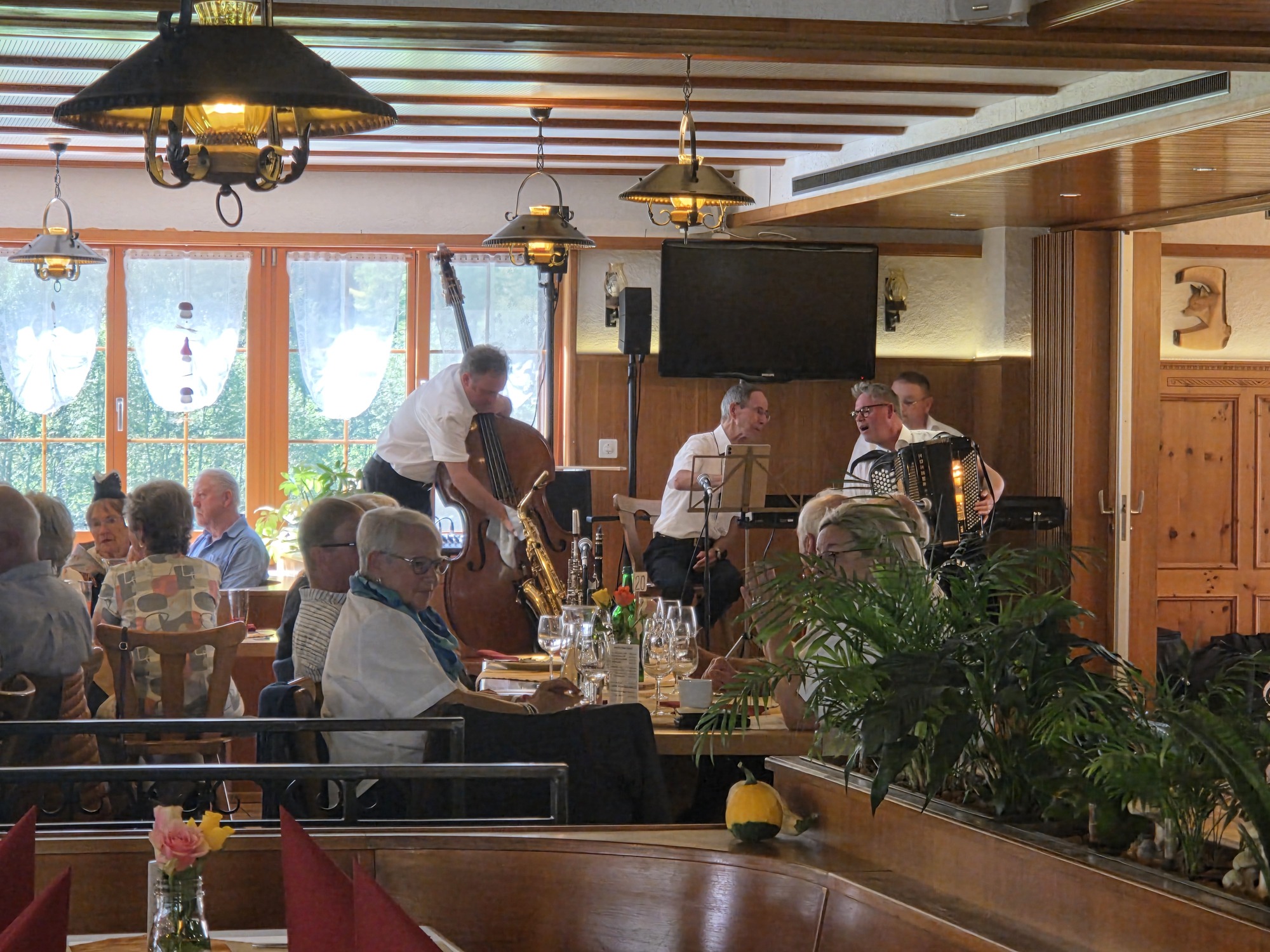
Another fabulous walk involved Sunday lunch at Restaurant Wasserfall and yes there is a waterfall right across the road from the terrace. The bright sun that day required umbrellas spanning the entire area so the waterfall view was from the road only. We walked a solid 3 miles mostly uphill, past a Benedictine monastery as well as forest, grazing cows, and recently mowed fields. Most of our fellow travelers were cyclists, not hikers; most of our fellow diners arrived by car. Inside, a quartet played traditional tunes. Reminded me of Gasthaus Bavarian Hunter in Minnesota except with Swiss food featuring locally hunted game, trout, and various schnitzels.

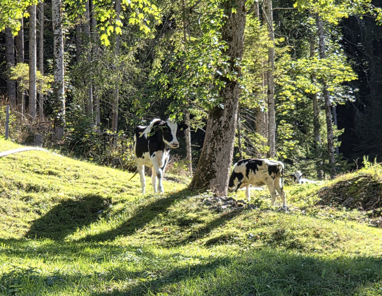
Top Row: Cows in the forest. I love to hike with the tinkle of cowbells nearby; The Terrace at Restaurant Wasserfall. English was cautiously spoken by the staff; The 4-piece band that plays every Sunday.

Final photo: the view to the valley beyond the restaurant.

Back to those angelic voices. According to legend, as Count Conrad von Sellenbüren sought the exact location for the abbey, a choir of angels was frequently heard singing hymns over the secluded valley. I guess it’s too noisy today to hear angels singing but in 1120 they were clear enough and so Engelberg was established. It took a few centuries for tourists to discover the valley but the imposing monastery complex – including a school founded in the same year and still operating – dominates the village.

We moved on to Wengen on Monday and the fine weather continues, which is great for travelers but makes me worry for this tiny country which is still very agrarian and no doubt they are worried about a dry winter as winter sports are an enormous economic factor. We’ve never seen so little snow on the peaks here in the Berner Oberland. Should have brought some summery clothes.

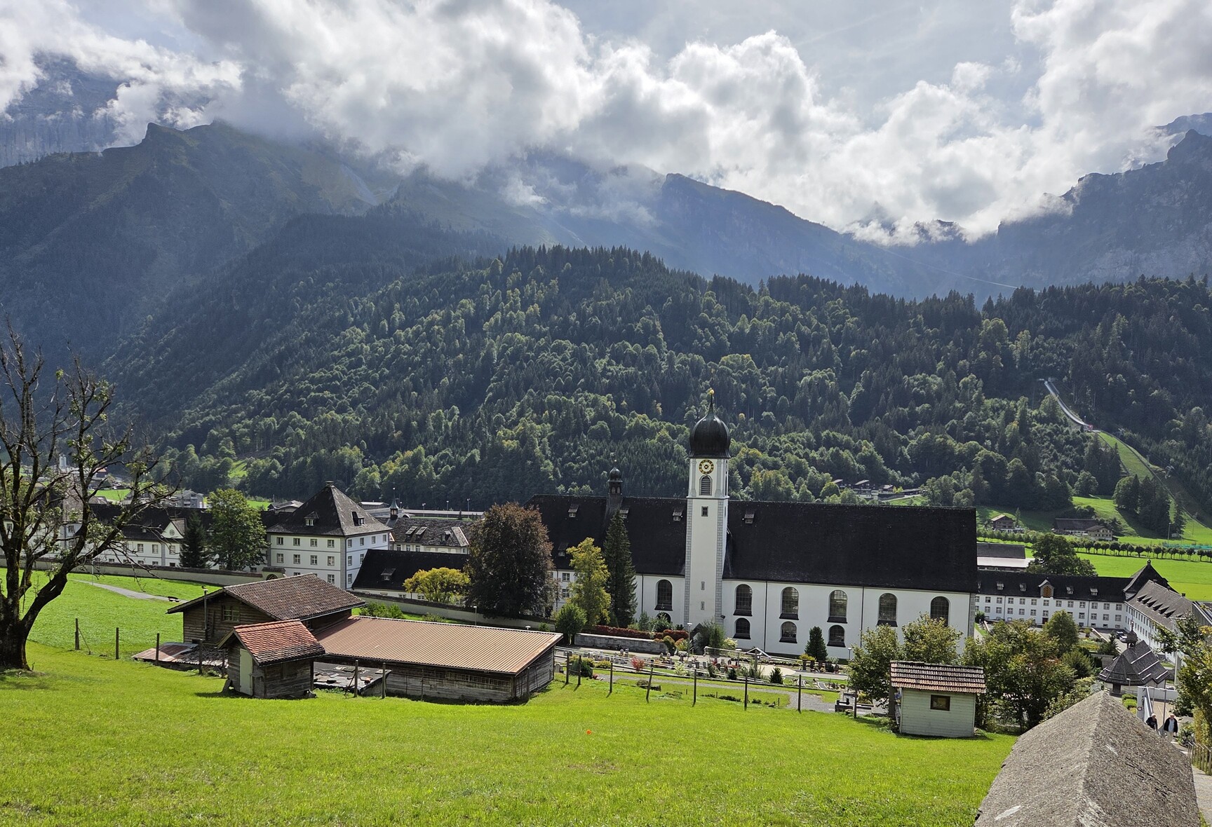
The monastery complex as seen from the hillside above. It sprawls across almost a square acre and has been rebuilt or renovated several times.

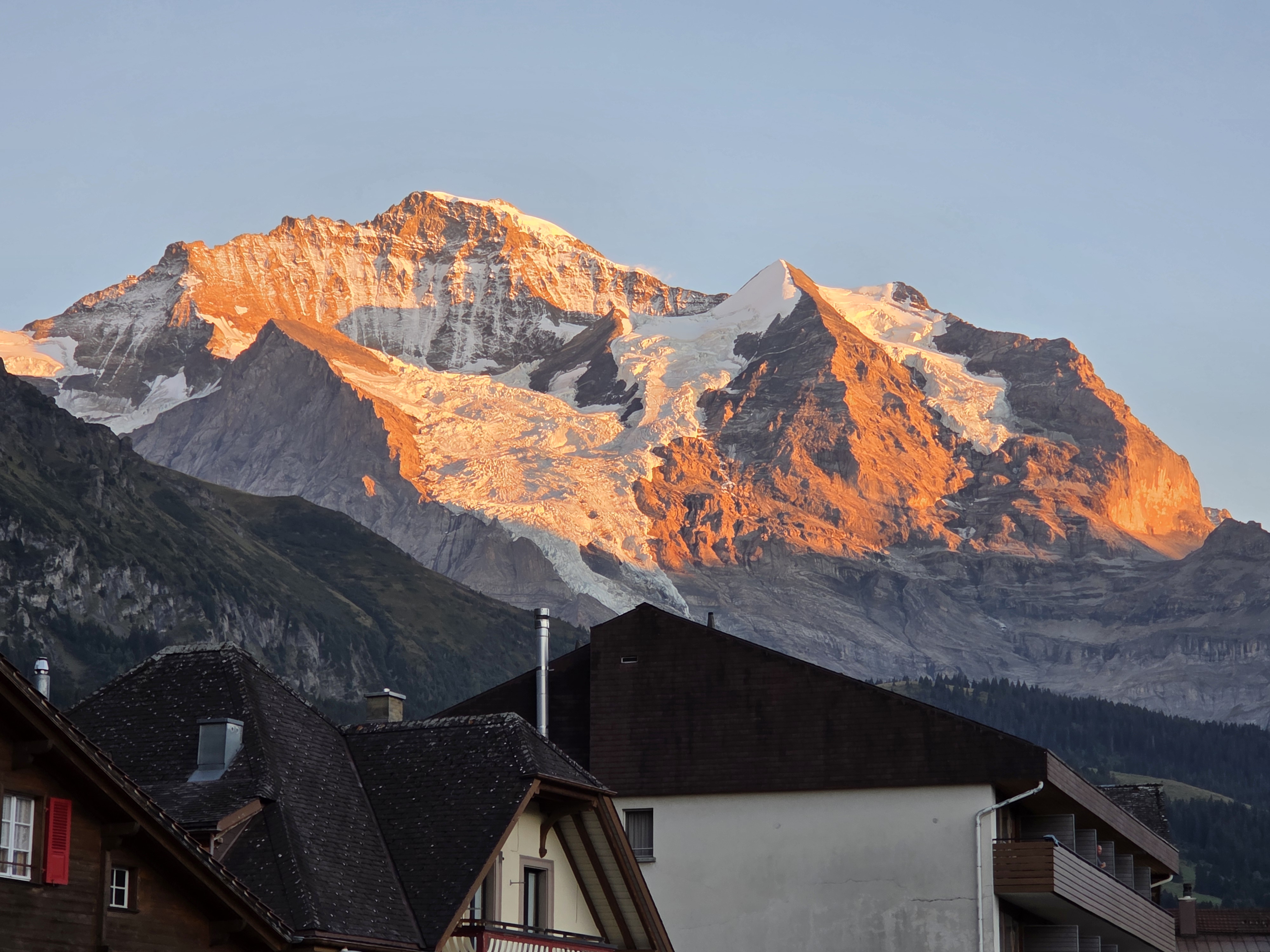
Alpenglow on the Jungfrau, viewed from our apartment terrace in Wengen. SIGH.

More to come…

Mountains, Mountains, and More Mountains

17 Sep

19 September 2026.

Mountains, Mountains, and More Mountains: That’s the theme for this year’s trip: all mountain locations for almost eight weeks.

We wrapped up two full weeks in Graubünden repeating favorites and researching new walks for our upcoming book, thoroughly enjoying a protracted summer season as it remained quite warm and sunny allowing us to find some great outings to share. There are a a lot of “paths to lunch” for the book because, if you know our style, we like nothing better than a good restaurant in the middle of a hike. Or at the start or end for that matter.

Our final day was Sunday and having a special Sunday lunch is also a thing for us when traveling, so a Path to Lunch on Sunday made a perfect final day in Pontresina. We walked through what in the U.S. we might call a wetlands preserve, where a few years ago the River Inn was revitalized and allowed to flow free without dams. It is an easy 40 minute walk to the excellent Restaurant Piste 21 where, thanks to the summery weather, we were able to dine outdoors on the terrace. We digested our leisurely lunch with a 40 minute walk back to the little town of Bever where we started. Delightful

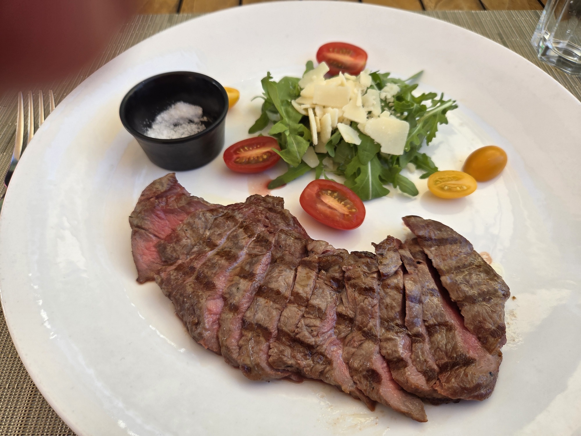
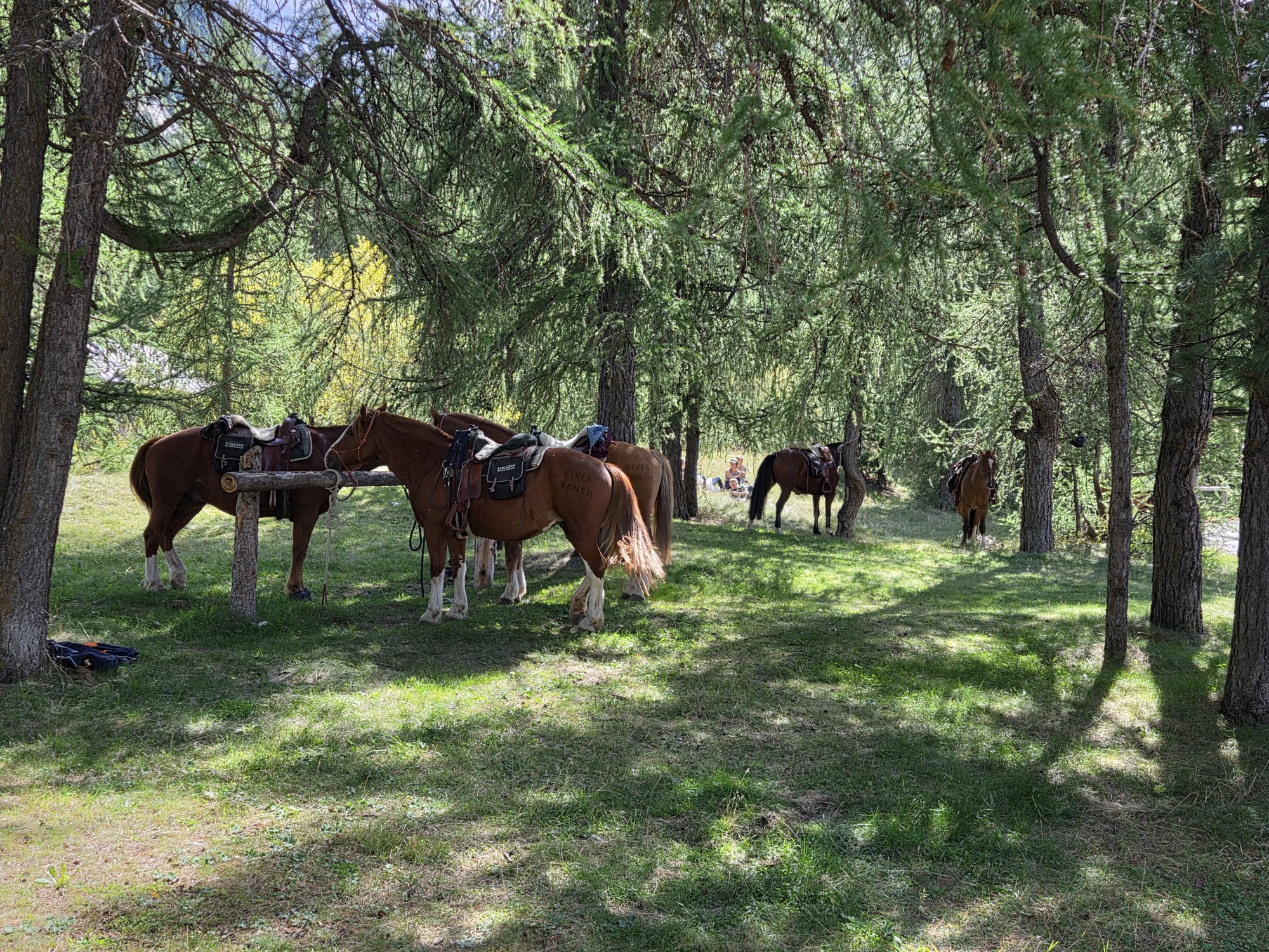
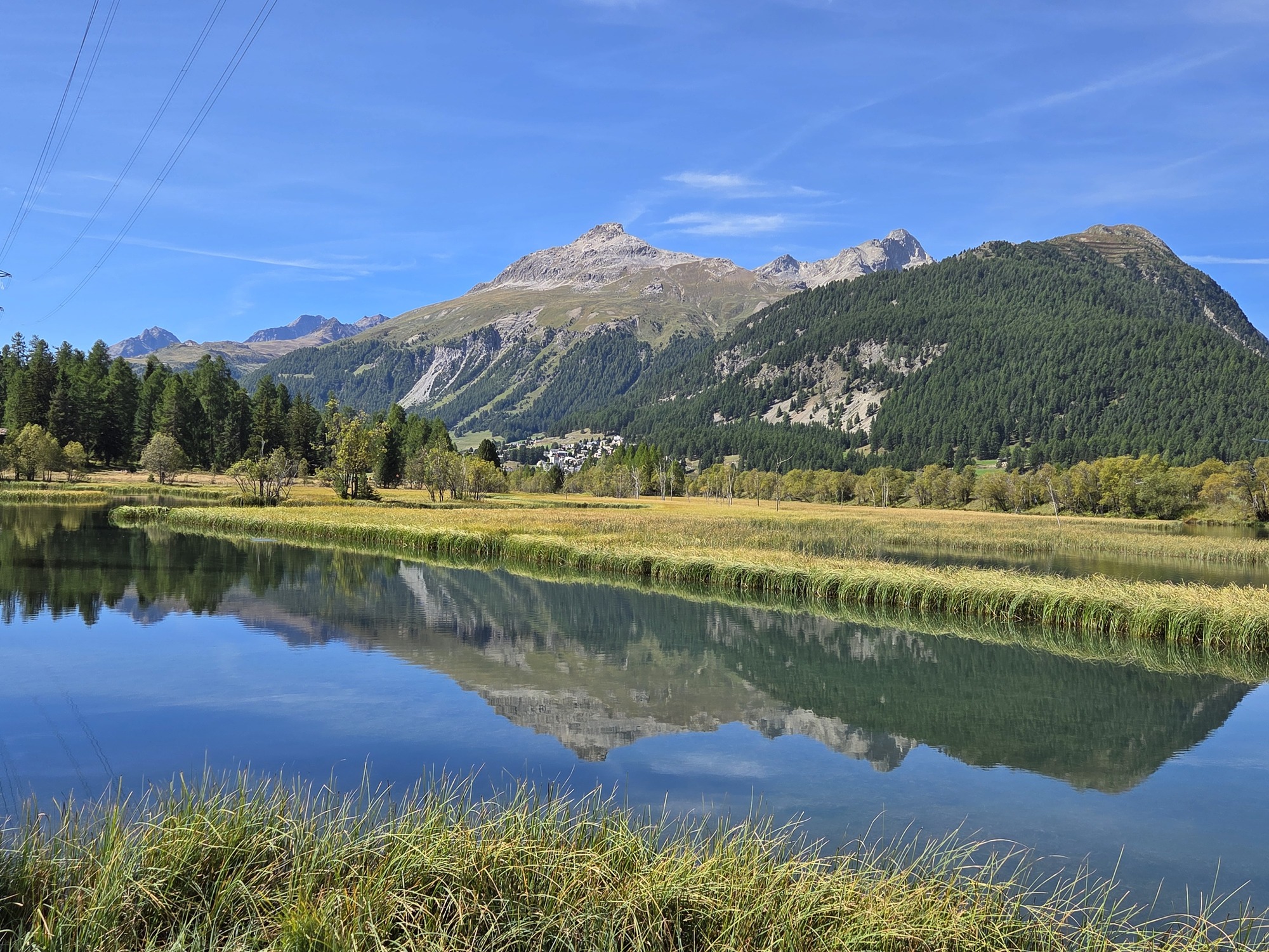
From top left: The return path; Tagliata of beef, part of our lunch at Piste 21; Some people walk here, some drive, some arrive on horse. Horse parking in a shady grove by the restaurant; Mountains reflected in Lake Gravatscha and the Inn River Meadows

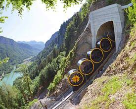
After 14 nights in Pontresina, sleeping at 5900 feet and walking routes at over 8000 feet, we moved on to Stoos, elevation 4300 feet, in the Canton of Schwyz. Not as well-known to non-Swiss people, Stoos is a tiny enclave for skiing and hiking enthusiasts. Stoos (pronounced Shtohs) is nestled on a sunny high plateau and is closed to regular vehicles; only a few farm and hotel vehicles were evident. It is invisible to the towns at the foot of the plateau along the Vierwaldstättersee (aka Lake Luzern) and is reachable only by two dramatic lifts: a small, older cable car coming up from the village of Morschach and the amazing Stoosbahnen funicular, advertised as the world’s steepest*, coming up from Schwyz. The Stoosbahnen cars are barrel-shaped and roll to keep passengers level on the steep trip up and down. We’ve never seen anything even close to it.

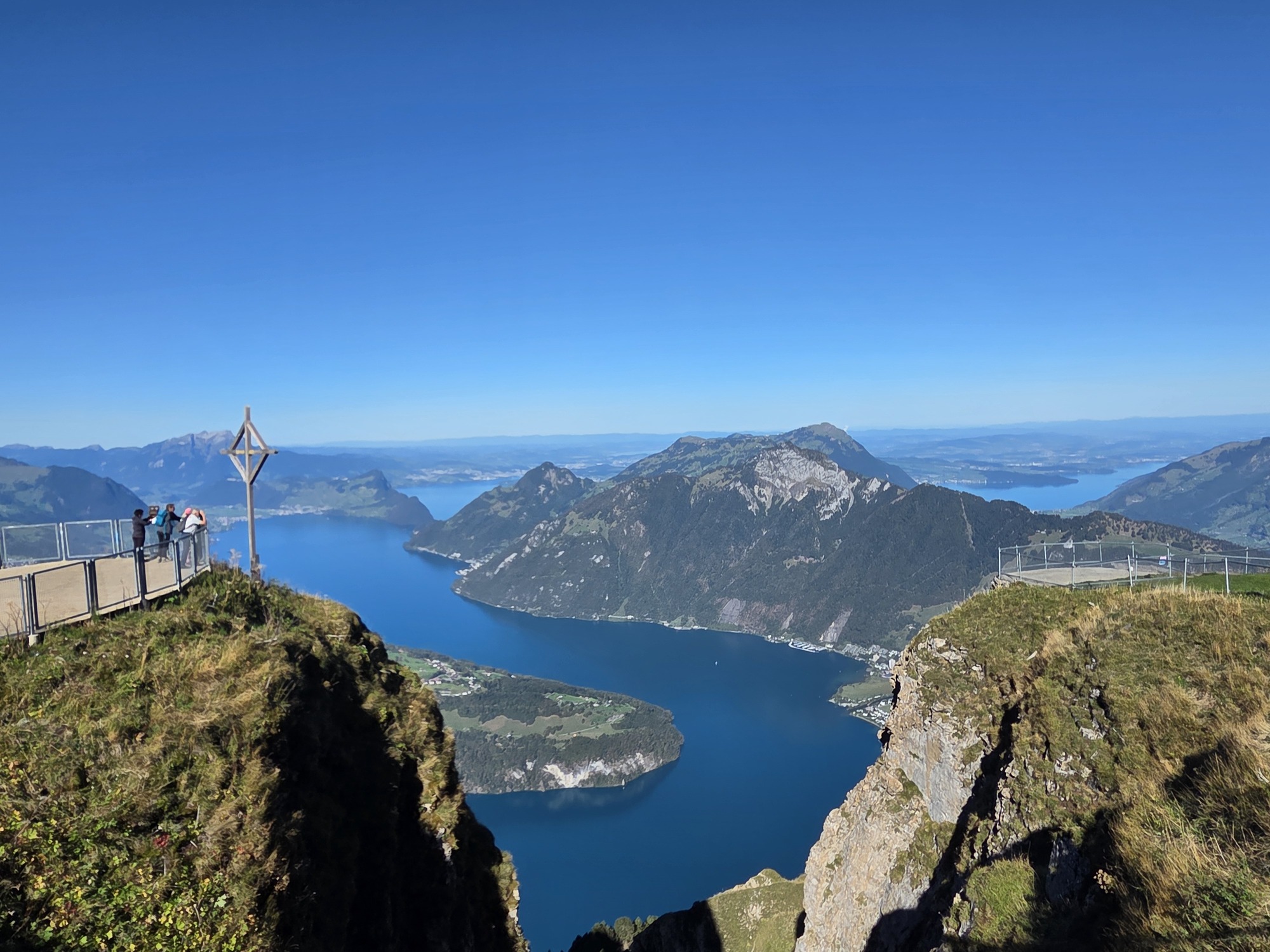
Left: Vierwaldsettersee (Lake Luzern) as viewed from Fronalpstock above Stoos; Right: The Stoosbahnen (photo by Schweizmobil). Click on the lake picture for a better view.

OK, enough train nerd stuff. Suffice it to say, if you are afraid of heights or funiculars or claustrophobically small cable cars, this may not be the place for you.

Stoos is surrounded by jagged peaks. They are not so high that they are snow covered year round, but the views from Fronalpstock – obtained by riding a two-stage chairlift – over the lake and countryside are terrific. This was a research trip in hopes of finding more easy-wanderings for our followers but there are not so many that fit our guidelines. Hikers with more stamina and better knees can hike up and on for many kilometers. It was worth a  visit for the peace and quiet. There are not many towns that are truly this quiet. We can highly recommend the Wellness Hotel Stoos an eight-minute walk from the funicular in the quiet end of the town. We can think of few other places that were as quiet and one is in Switzerland, Bettmeralp.

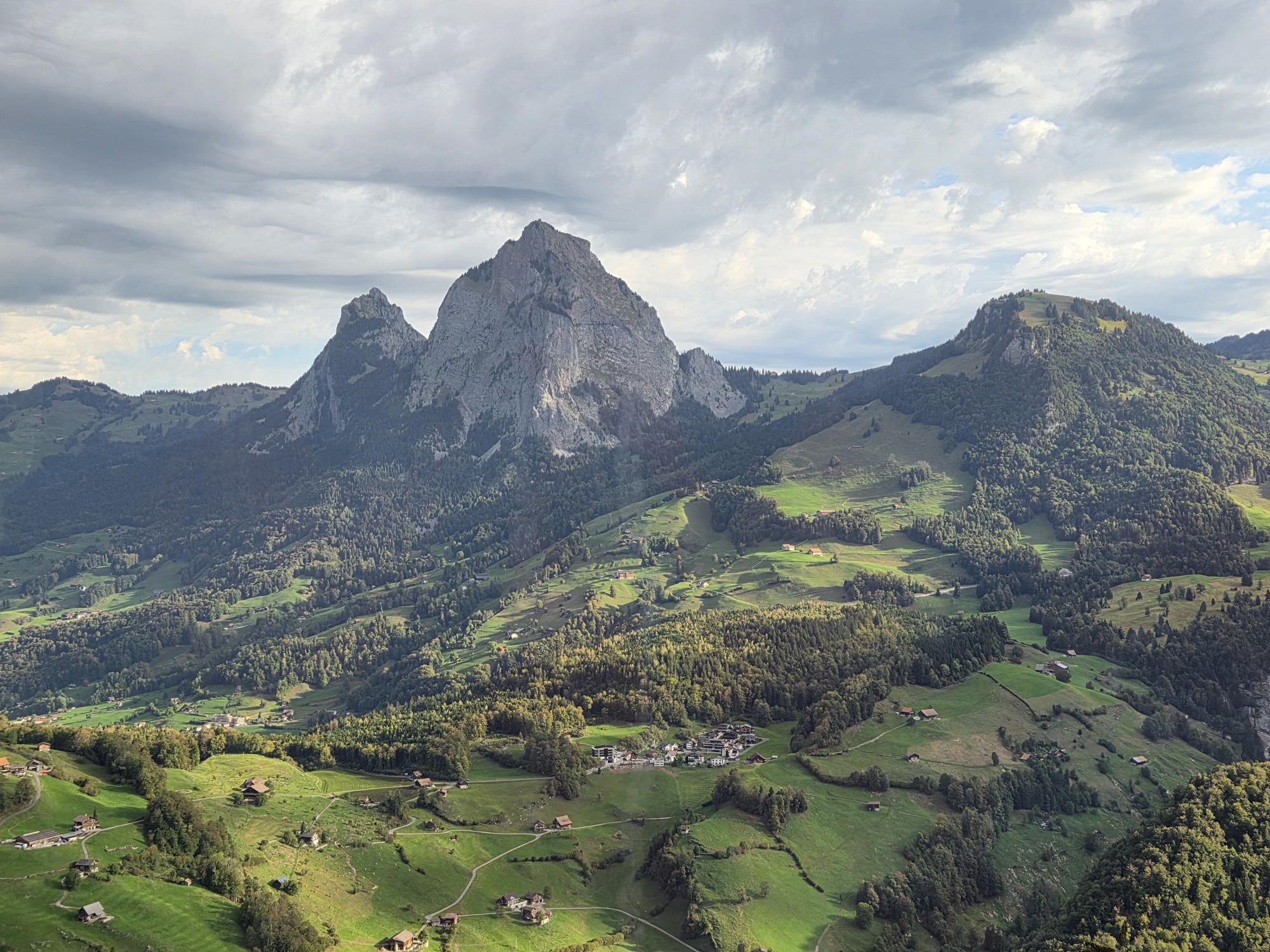
A scenic view of mountains surrounded by lush green valleys and small houses in a picturesque landscape.

View over Stoos while descending in a chairlift from Fronalpstock

Now we are in Engelberg, at 3300 feet in elevation, but still surrounded by fabulous peaks. Mount Titlis soars over the village at 10,623 feet, glacier, snowcap, and all. We are researching easy-hiker options here as well. I’ll report on this mountain village in my next post.

Until then, Tschüss!

*Although it was the steepest in 2017, it no longer holds that honor. The Stoosbahn has a maximum gradient of 110%, but the new Schilthorn Cable Car, which we will visit in the coming weeks, was completed in 2024 with a gradient of 128%!

Landwasser Welt – A train nerd’s paradise.

7 Sep

6 September 2026.

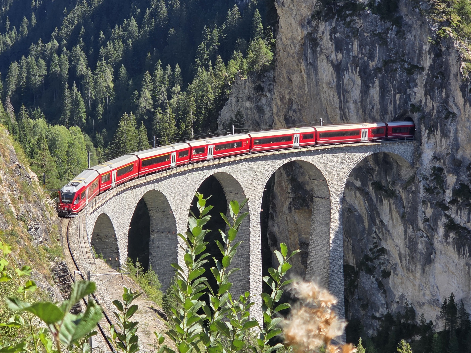
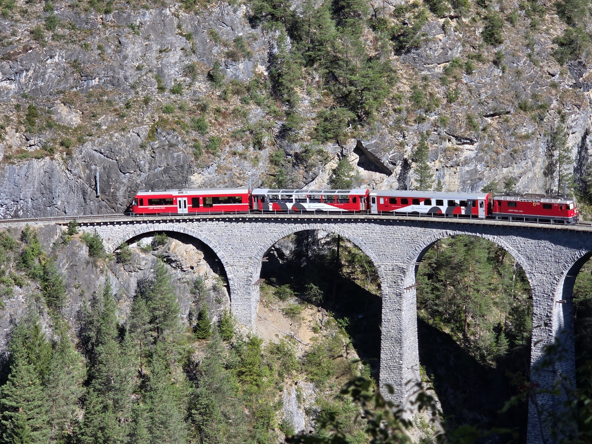
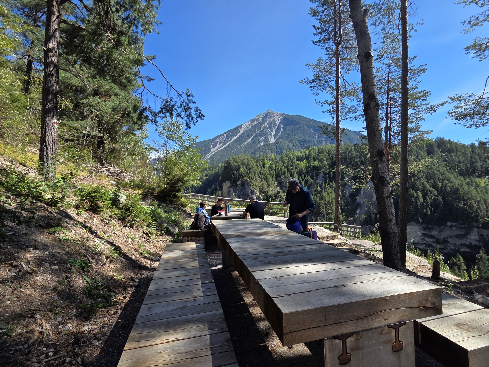
The Landwasser Viaduct from the Hennings Platform

We have traversed the Landwasser Viaduct on the famous Albula Railway at least a dozen times over the years, but I wanted to see the architectural wonder with the train on it: not from the train. Figuring out exactly how to get there and see it was not a small task but for inclusion in our upcoming book, Walking in Switzerland’s Engadine it was worth doing the research. My train aficionado husband’s love of trains has rubbed off on me in our 42 years together.

The day started out cold – low 40s Fahrenheit –  but by the time we got to our first stop in Filisur, Switzerland, we had our jackets off and stuffed into our day packs.

But back up. This adventure starts with one of the prettiest short train rides in Switzerland along the Albula railway line which boasts UNESCO World Heritage status. From the MySwitzerland tourism site:

“The Rhaetian Railway…is a marvel of railway engineering that winds its way through the Graubünden mountains thanks to man-made structures, viaducts and helical tunnels. Railway enthusiasts assert that the Albula route between Chur and St. Moritz is the most picturesque mountain route in the world and rave about the boldly curved Landwasser viaduct.”

I’ll spare you too much boring engineering talk but some keys stats:

  • Built between 1898 and 1904
  • 55 bridges
  • 39 tunnels
  • 38 miles
  • Linking Thusis at 2,287 Feet with St. Moritz at 5,820 feet

The Bernina Express and Glacier Express both travel this line as part of their scenic journeys. We enjoyed our little slice from Samedan to Filisur even though we have traveled it many times before in winter, summer, and fall. This amazing line uses a series of spiral loop (helical) tunnels to gain elevation over a short distance with viaducts and bridges for longer segments. Instead of moving straight up the valley, the train enters the mountain side and follows a continuous, rising loop inside the rock. As a result, you travel through the valley crossing over from side-to-side and an ever-changing view.

Filisur and the Valley from the train station.

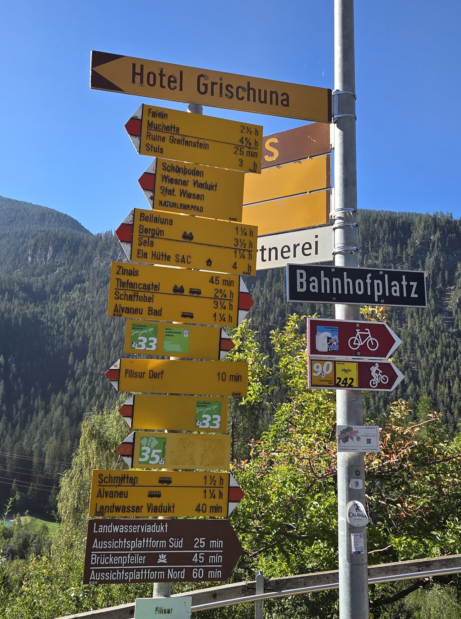
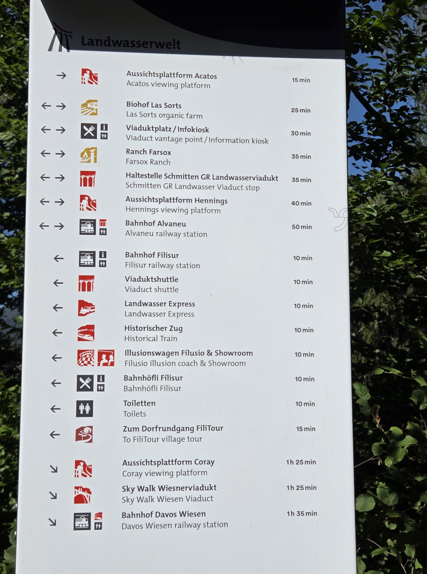
At Filisur, it was a little confusing finding the exact start of the walk; the very reason we do the research ourselves instead of just reading the online so-called directions. (We do not let AI write our books.) There was actually too much signage and the maps displayed had so many lines illustrating hikes and train routes that it was hard to sort. The guy at the Info Mobil booth was very helpful in making sure we were pointed the right way so we can carefully guide our readers.

Too many signs!

This was a nice walk. Although not pram-worthy, it is a solid “2” in our book: easy-enough, not strenuous, some rocks and tree roots to navigate. We should have had our trekking sticks for the return due to loose gravel on the downhill bits, but we held hands to prevent falling. We’ll recommend sticks in the book. It is only a 50-minute walk, roundtrip.

The Viaduct Shuttle on the Landwasser Viaduct as viewed from the Acatos Platform.

The Acatos platform offers an amazing view over the Landwasser Viaduct. We were delighted by four trains passing in about 20 minutes: One to Zermatt, others to Alvaneu, to Chur, to Filisur. Long, Panoramic Express Trains as well as short shuttles like we would take later. And only four other people visited while we were there on a glorious sunny morning in early September. By the way, there is a QR code on the platform that leads to a list of trains passing in the following hour-or-so https://kisqr.rhb.ch/stationDisplay/CulturalSights/RCS-Landwasserviadukt.

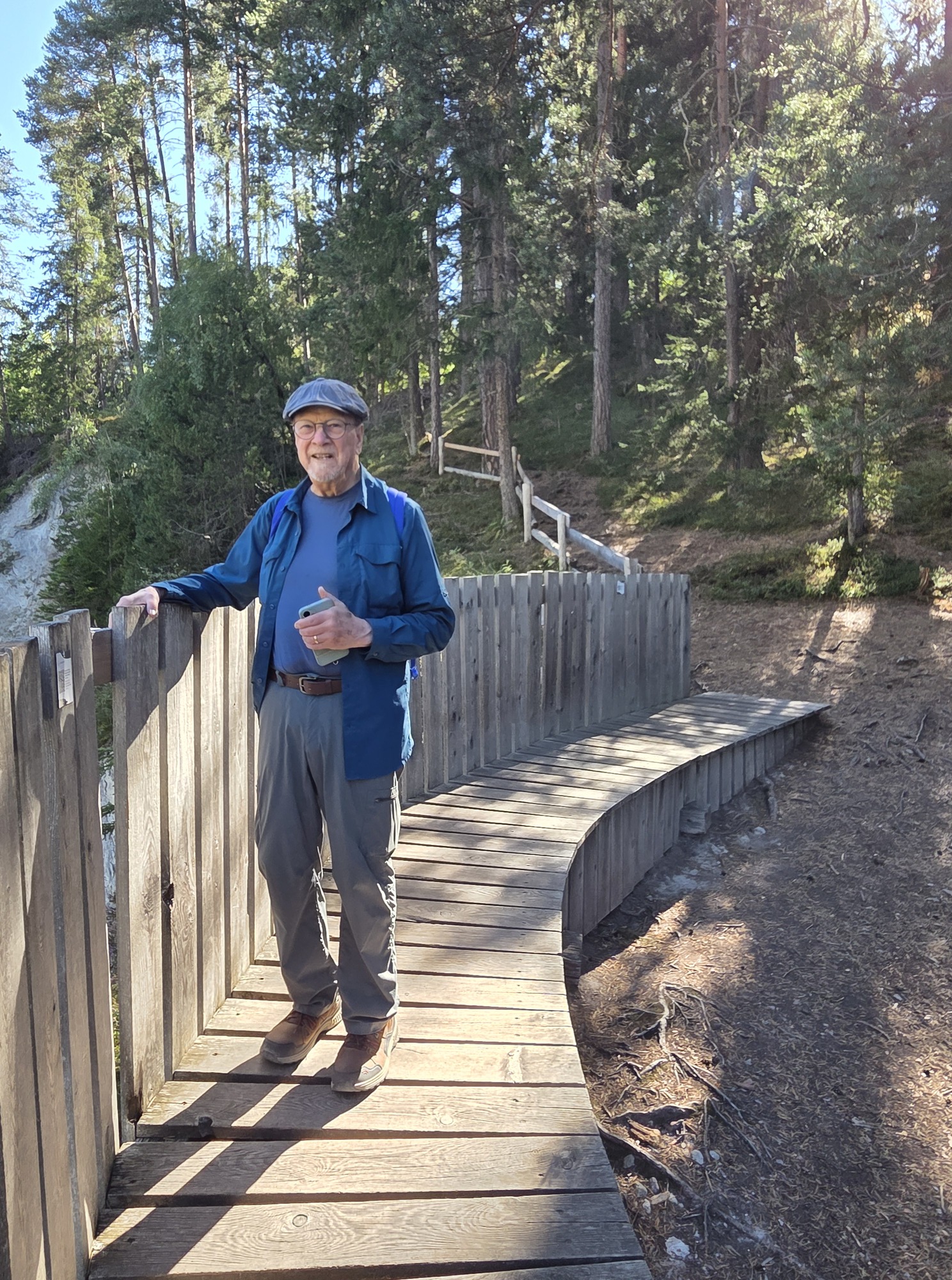
Ric at the Acatos Platform

Back at the station, we decided to grab a simple sandwich and iced coffee. The two men running the café were from Mexico and thought I was Italian when I spoke to them. Always makes my day!

The day had warmed considerably, now over 70 degrees Fahrenheit at 3500 feet above sea level. We waited for the 12:46 shuttle to the Hennings Platform happy to find shade at the station. It’s only a 3-minute trip to the Schmitten station, then a short but steep walk with loose rock and unguarded steps up to the two-levels of the viewing platform. Walking up, we were leery about walking down on the loose gravel and with no handholds on the stairs. Problems of aging knees and hips.

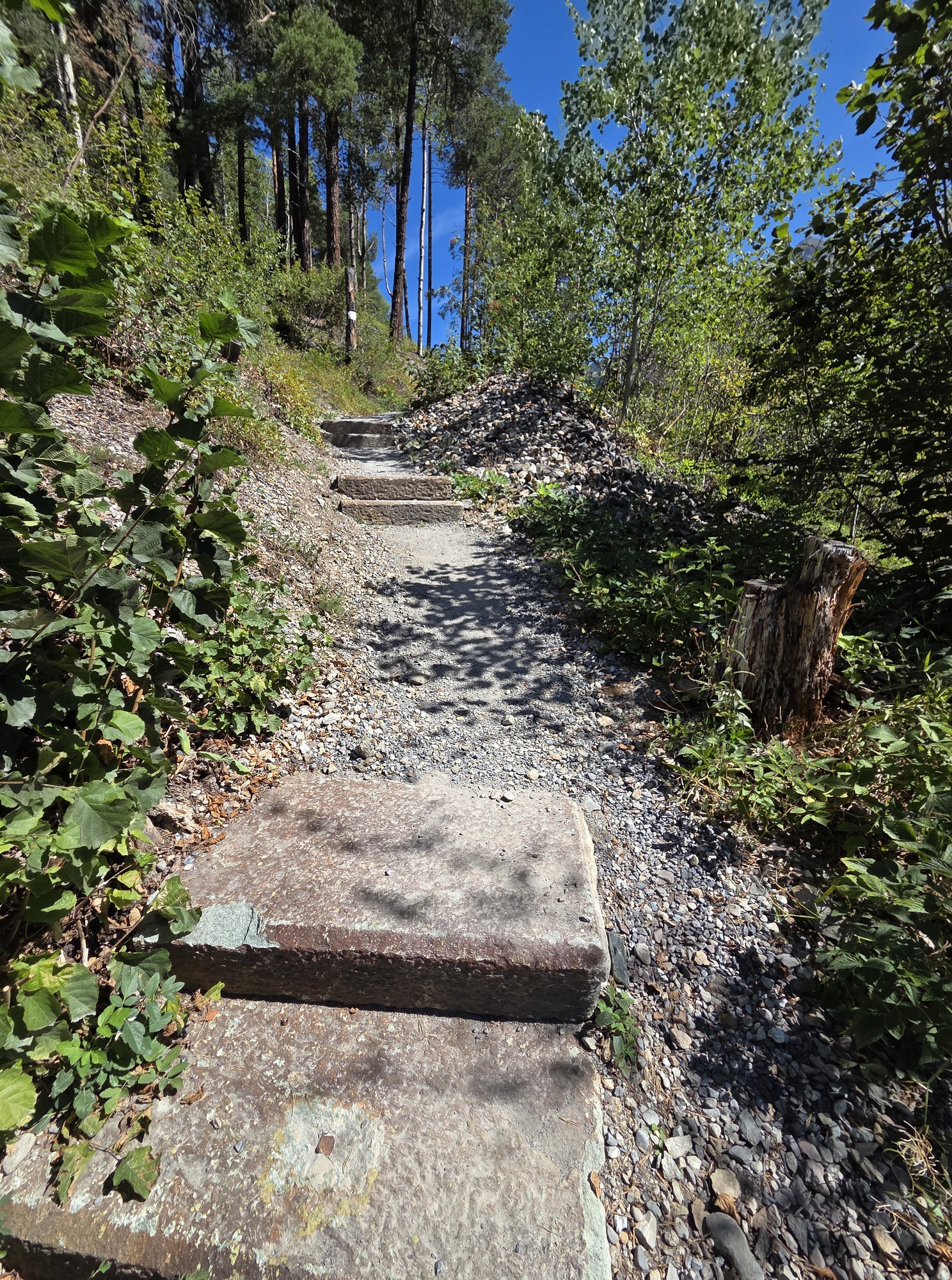
The rough path and steps without handrails: Watch your step!

The lower of the two platforms proved to be excellent for taking pictures of the trains. We weren’t certain they were any better than the morning shots we took from Acatos but viewing the pictures from Henning’s on a larger screen proved us wrong: The Henning’s Platform is superior for photography. We hauled ourselves up to the upper platform which was very nice nice for hanging out between trains and also had a great angle for photos. Light shade and a bit of a breeze made the wait tolerable since we had a long one.

Time of day matters: we had to wait a long time for a return shuttle due to a midday pause, and we only caught one major train during that time, so we were there in a period of light traffic. We weren’t sure how long it would take to pick our way down. Ric had his hiking sticks along so armed with one hiking stick each, we headed down early, catching sight of one more long train headed north. Luckily the sticks helped a LOT with stability and we were on the train platform with plenty of time, waiting for the shuttle in the heat.

That gave us an excuse back at the station to indulge in ice cream while waiting for the 15:00 train back to Pontresina.

This outing will definitely be in the book: trains and light hiking with a suggestion for time of day for the most efficient visit. There is also a terrific museum at Bergün, which we visited last year, that is a must for train enthusiasts. A very full day out for train nerds could include our tour today as well as a stop in Bergün for the Albula Railway Museum.

Hennings upper platform where train lovers can hang out, picnic and wait for trains to pass.

Our visit also opened our eyes to how much else is on offer in Landwasserwelt. Countless hiking paths beckoned, the village of Filisur yet to be explored, and a chairlift to a mountain restaurant we did not have time for, all contained in the gigantic Parc Ela, a regional nature park within Graubünden.

Beyond having a nerdy train day, we are exploring other parts of the region, revisiting some places from past trips to finalize details for the book, and exploring some that are new-to-us.

The weather is beautiful! The Swiss could use the rain, but these travelers are enjoying clear skies and few people. Apparently, there is a shoulder season here, still.

So many things to do in Landwasserwelt!

Trail etiquette

4 Aug

4 August 2026.

Ric and I have a habit of saying good morning, hello, ciao, etc., whether we are out for a neighborhood stroll or a hike in the Swiss Alps. Recently it struck me that we encounter a number of people on our local wetlands trail who studiously avoid eye contact. They don’t acknowledge that anyone else could possibly be sharing the space with them. Perhaps they are absorbed in meditation or maybe listening to a book, podcast, or music through ever-present earbuds.

Maybe they are simply anti-social or fear being dragged into a conversation with a couple of random old people.

Do you say hello to everyone you meet when you are out for a walk? Does it matter if you are on the sidewalk in your neighborhood or in your local nature park? How about if you are out for a hike in a more remote location, like the mountains?

I have always considered it polite to recognize people we see on the trail. Mostly people we meet coming from the other direction but also those we may pass when moving at a faster pace. It is de rigueur etiquette when hiking in the mountains in Italy and Switzerland. Everyone either starts the greeting or responds. Ciao, Buongiorno, Morgan, Grüezi, and Hello are all common. But why? You’re never going to see these people again. So what?

Turns out there are very good reasons and much precedent rather ingrained in some cultures. I happened upon an enlightening article in Italian (use Google to get a good translation) about the very need to greet those sharing the trail with you.

First, and in my mind of major importance, is the practical purpose of being able to recognize those whose paths we have crossed in case you – or they – encounter trouble. Details of where they were and when can help rescuers immensely. Using a greeting to a passerby can imprint that person on your memory and you on theirs.

How easy to lift a hand in greeting or say “Hi.”

It helps to learn the words in the local languages.

  • Ciao, Salve, and Buongiorno do the trick in Italy. They mean Hi, Hello (formal), and Good Morning, respectively. Note that Buongiorno works as “hello” throughout the day.
  • Guten Morgan, Hallo, Guten Tag, and Grüß Gott are used in Germany and most of Switzerland, the first often abbreviated as simply Morgan.
  • In Switzerland you’ll encounter Grüezi quite often, except in the eastern French-speaking areas where, not surprisingly, you’ll hear Bonjour.

It is common to extend your greeting in one language and hear something entirely different in return. Grüezi may invite Grüß Gott especially from Bavarians. If “Hello” works best for you, great!

The article underscores other great practices.

  • “Pack it in, pack it out” is a familiar mantra for wilderness campers, but it matters just as much for walkers. Don’t toss apple cores or orange peels on the trail; biodegradable does not mean harmless. Human waste should always be removed. A bear can go in the woods; you need to leave no trace. Our books recommend carrying small bags in your daypack for this purpose. We prefer zipper bags, which can be harder to find in Europe, so it’s best to bring some from home—along with wet wipes.
  • Silence and Calm. No one walks along singing “The Happy Wanderer.” No one. Respect nature and enjoy the sounds of the birds. Engage in quiet conversation with your hiking partners but keep the raucousness for the pub afterward. I would add, when walking in the mountains, ear buds and audio books are probably not a good idea. Be alert to your environment for safety if nothing else.

Julie Andrews may have sung to the hills. You should not.

Avoid animal encounters. The most dangerous thing Ric and I have encountered is a herd of trail-blocking cows. They were HUGE and we were hesitant to disturb them. The area surrounding the trail was uneven and rocky and also occupied by the cows. No way to pass. (This was in the Alpe di Siusi, my photo below.) Luckily, along came a German-speaking woman clearly used to dealing with livestock and she was not afraid of shooing them along.

Trail blocking cows can be intimidating but especially give the nursing mothers a wide berth! Cows can be absolute bears regarding their offspring. Never come between them.

We are off on our annual adventure soon. This year’s trip theme is Mountains, Mountains, and More Mountains. We will seldom be below 5000 feet above sea level. Since we live at 210, that’s quite a difference. There will be cows and plenty of other trekkers. A third book is in the works featuring walking in Switzerland’s Graubünden Region, especially the Upper Engadine. Watch this space!

Girovaga

Formerly GoodDayRome

Skip to content ↓