A freshly made cappuccino in a ceramic cup in the middle of forested mountains, above a rushing river, at 5856 feet above sea level. What’s not to love?
Today is our third full day of a 6-week trip. First stop, Samedan, Switzerland, which will have many of you powering up Google Maps to figure out where-in-Hell are they now?
Jet lag is still present, but the fog is clearing by the day. Flatlander legs (Forest Grove is at 210 feet and flat as a crepe) are adjusting to hills and sea level lungs are slowly adapting to mile-plus-high altitude. We are sleeping at 5650 feet!
But first an aside: you are likely wondering where I have been since my April 27 post about a trip we were about to take. For reasons I will not go into, that trip never happened. Rest assured, all is well at Casa Barton. Last spring’s trip will be a 2026 event.
Our trips largely consist of meals strung together by long walks. We call them “Paths to Lunch.” Today it was a path to cappuccino with a lunch at trail’s end. Try to do that in the United States.
The hike yesterday, Day 2, was near the Swiss National Park or Parc Naziunal Svizzer in the local dialect of Rhaeto-Romansh. We are in the Engadine region of the Canton of Graubünden in the southeast part of the country. St. Moritz may ring a bell, the glitzy resort town known as the birthplace of alpine tourism and featured in some James Bond films as well as many others. Engadine or Engadin means “Valley of the En” and the “En” river is perhaps better known outside the region as the “Inn,” the very one that runs through Innsbruck, Austria.
This is not high season and Samedan is not a major tourist destination at least outside of ski season, so we are finding it peaceful and uncrowded. Mostly Swiss traveling about. Previously we spent 2 weeks in nearby Pontresina, which we enjoyed very much, but Pontresina is a hot bed of tourism versus Samedan. This is a more local experience.
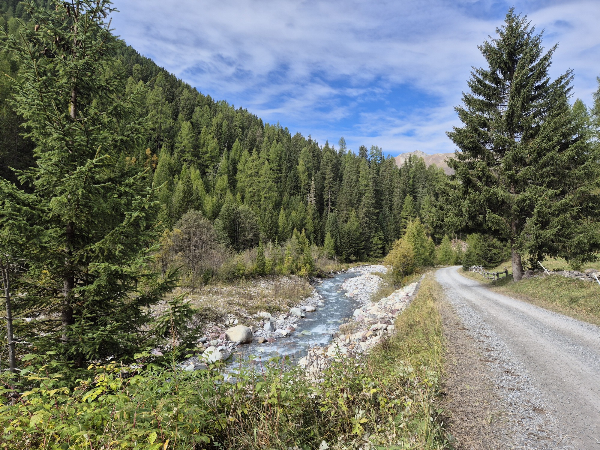
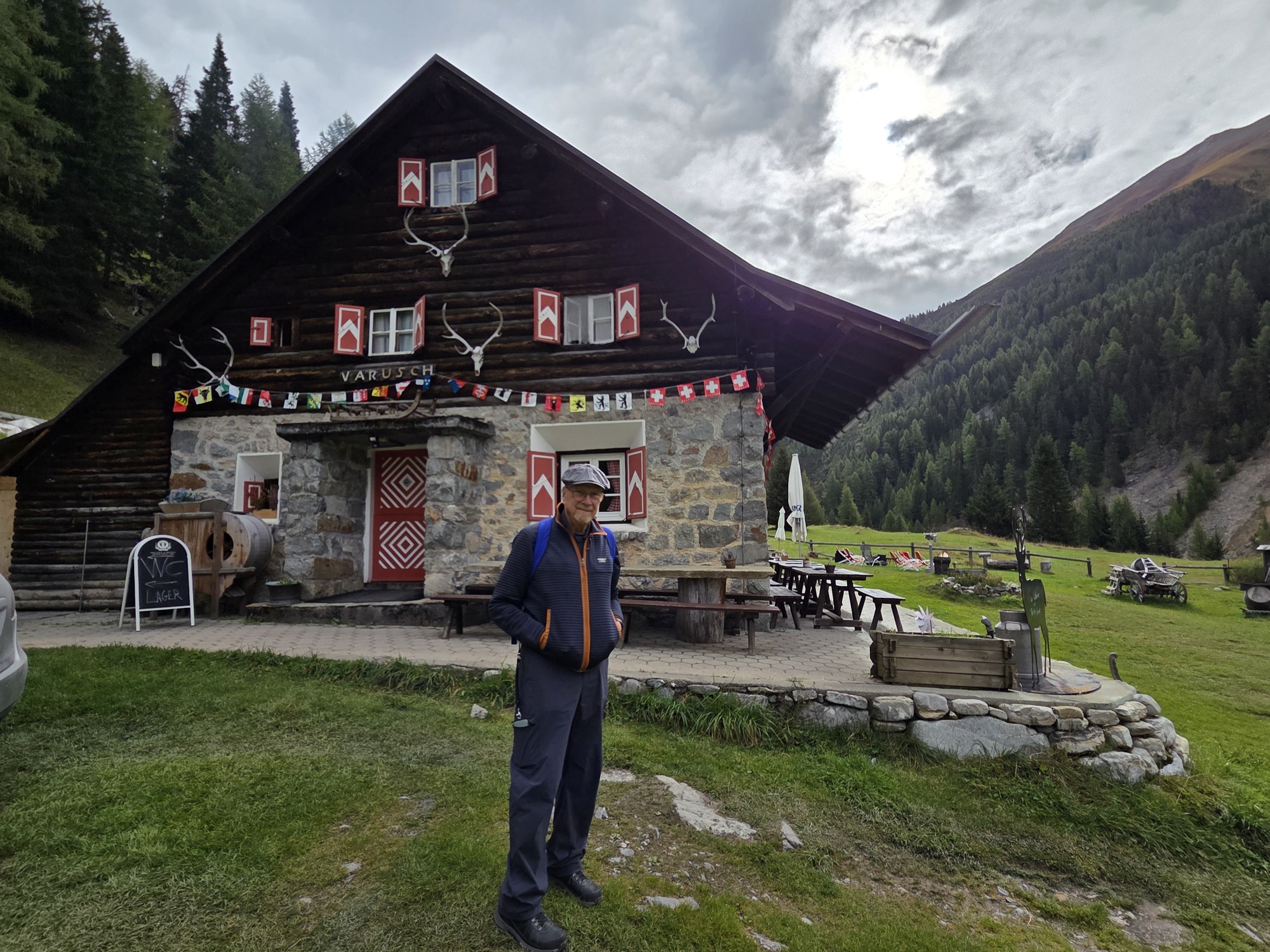
Our modest day 2 hike was started at the last bus stop whose route took us through tiny villages, past grazing sheep and cows, and into dense forest. There were no personal vehicles allowed past this point. To get to the National Park you traverse the area on foot at this location. Or take the “tourist shuttle.” We hoofed it through the forest above the rushing Ova da Varusch to the aptly named Parkhütte Varusch. Here we indulged in a late morning perfect cappuccino at the midway point of our 90-minute hike. Sheer bliss. We encountered very few people with our early start (on the trail by 9:15) and were the first customers at the hütte. The hike requires no special equipment save sturdy shoes as the first half of the trail has plenty of roots and rocks and wet places. The forest is pristine; there are no sounds of traffic unless a plane flies over. We didn’t even hear anyone talking. Just the rushing river which must be a sight to see during spring melt.
Laurel above the river in the forest; A perspective on the river with the easy-hiker road below; The easy road back; Ric at the coffee stop; The Tourist Shuttle.
Thus refreshed, we took the ultimate easy-hiker route down a road that the shuttle runs on. Many cyclists were using it to go up the valley and a fair number of walkers chose the groomed route as well.
Arriving back at the start, the 11:08 bus had left 5 minutes prior and the next one was not until 12:15. Time for an early lunch break! Does it get any better than a path to cappuccino and lunch?
Today, we hiked to a fabulous glacier view at Morteratsch. This was at >6300 feet. Color us tired!
Getting home from a trip there’s a lot to do in a jet-lagged state: unpacking, laundry, restocking the pantry and refrigerator, doing the delayed fall garden chores, convincing the cats we still love them.
But the real work starts once jet lag passes: organizing photos and updating our books. This takes hours and hours to ensure the accuracy of every recommended URL, the schedules for buses and lifts, the most recent transportation pass offers, and to write up new hikes and changes to prior recommendations. Ah, retirement! But this is a job.
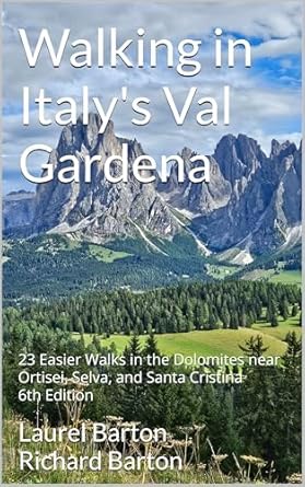
January 1 we published the 4th edition of “Walking in Switzerland’ Berner Oberland” and January 18, “Walking in Italy’s Val Gardena” came out in its 6th iteration.
For those dreaming about these locations, we offer inspiration to plan the trip with logistics seldom found concisely presented online. From transportation to trailheads, each walk or hike is described clearly so you can be certain every hike is within your ability.
Here’s a description of each book and a link to purchase in the US. For other markets, consult your respective Amazon site.
There are many hiking guides to Italy’s Dolomites featuring long treks of 4-6 hours, as well as multi-day ventures and the famous via ferrata. What makes this one so special? This is a guide to easier options for walking in Italy’s breathtaking Val Gardena! Seniors, people with children, and anyone who wants to experience the mountains but not climb them will benefit from the 23 walks that are carefully described.
We guide the hiker through the breathtaking scenery using itineraries suitable for anyone who likes to walk, likes to be in nature, and who enjoys Italy, but may not have the stamina for longer, more strenuous hikes.
This unique guide includes 23 walks in-and-near the Val Gardena towns of Ortisei, Selva, and Santa Cristina, as well information on when to visit, how to get around without a car, and sample itineraries to help you plan your stay of 3, 5, 7 or more nights. Of special interest will be the easy hikes in the amazing Alpe di Siusi.
Included are maps, directions to the trailheads, walking time and distance, where to eat along the trail, beautiful photographs, and details on how to use the system of mountain lifts and buses to access the high meadows and breathtaking Dolomite views. You will discover delightful rifugi, mountain restaurants offering shelter and great food making each walk a special expedition. In addition, every walk is accessible by public transportation!
The authors travel to Ortisei frequently exploring this mountain paradise discovering and documenting the walks to share with you so you can be certain every hike is within your ability.
Switzerland’s Berner Oberland is a hiker’s paradise, whether you like easy paths or dream of attempting the Via Ferrata. This book will guide you through breathtaking scenery using itineraries suitable for anyone who likes to walk, likes to be in nature, but may not have the stamina for longer, more strenuous hikes. Seniors, people with children, and anyone who wants to experience the mountains but not climb them will benefit from the 21 walks that are carefully described. Also included are instructions on local transportation, sample itineraries to help you plan your stay of 3, 5, 7 or more nights, and suggestions for other excursions as well as rainy-day ideas.
The authors travel to Switzerland frequently exploring this mountain paradise completely via public transportation, discovering and documenting the walks. Even non-walkers will revel in the scenery as they ride mountain trains and enclosed gondola cars to amazing vistas.
What do I do after a European trip and after the book updates are published? Plan the next trip! Most likely with a cat or two in my lap.
Most of you think we are on vacation, walking familiar trails, snapping pictures of stunning vistas, and sipping an aperol spritz on the deck.
Sure, we do all of that. But this is a working trip. New editions of our two books Walking in Italy’s Val Gardenaand Walking in Switzerland’s Berner Oberland were released in January 2025, requiring us to check routes and supporting facts. We always try to find something new to experience and recommend as well.
We will not recommend any walk we haven’t done ourselves so we end up taking new trails often.
Sometimes a hike or walk we have included in the book no longer meets our standards. There is one in our Val Gardena book that has not been well maintained and no longer has an appeal. It will be replaced by one we have come to love.
In the past week in Switzerland, we’ve tried three supposed easy-hikes and came away with mixed results: Two unsuitable and one we are not sure is quite easy enough.
WALK ONE: Not the ending we expected
We had high hopes of recommending a Giro di Lauterbrunnen (Circuit of Lauterbrunnen) or in German, Lauterbrunnen Rundweg. For years we have noticed a trail partway up the cliff side, traversing cow-infested meadows and crossing tracks for the Wengernalpbahn train. We have walked that path from the south edge of Lauterbrunnen to the middle of the village where we descended on a paved road, but we knew it went farther. Maps enticed us to see if it would be feasible to extend it to the north, descend to the river, and walk back to the village, offering terrific views of the village from one end to the other as well as a good 3 ½ mile walk.
In fact, one CAN do this hike IF one has the footing of a steinbock.
SteinbockorIbexfamily, verysure–footed. Courtesy of IamExpat.
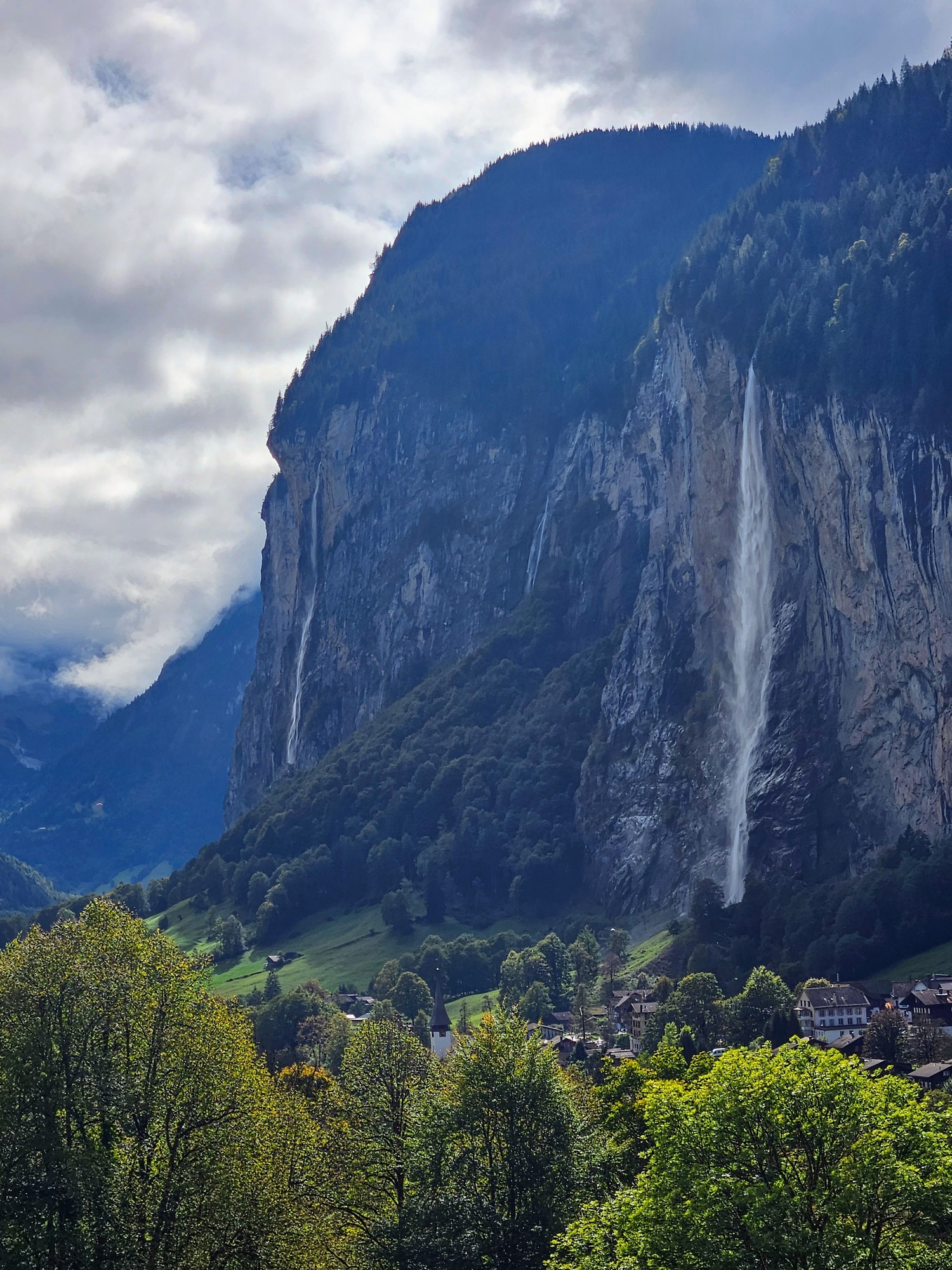
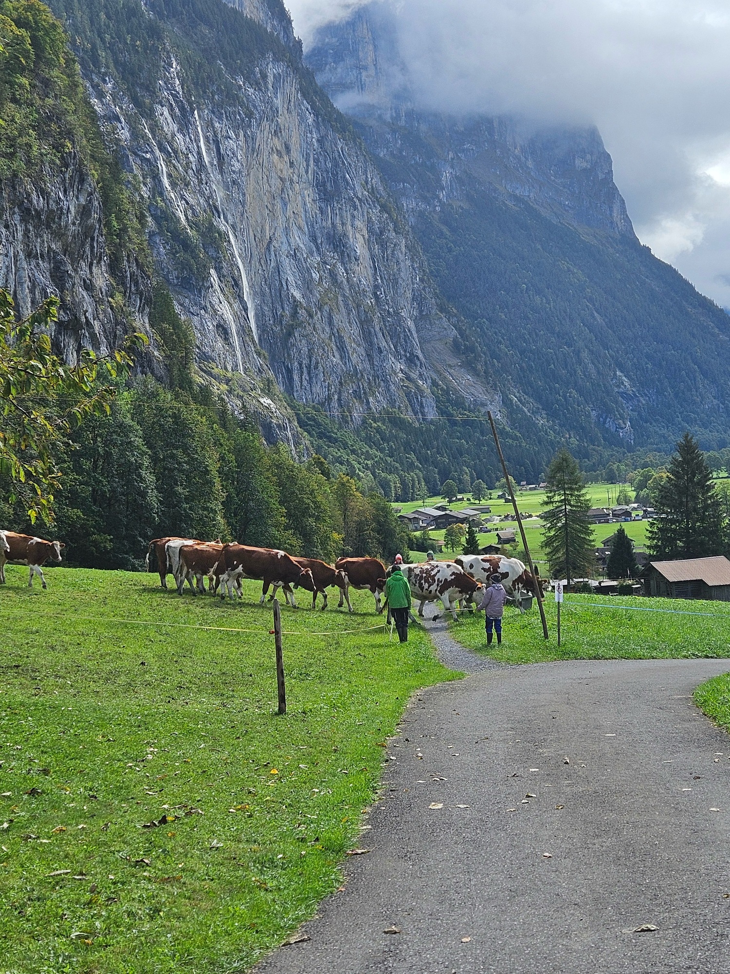
We thoroughly enjoyed the mostly flat walk, witnessing a herd of cows who welcomed their humans who had come to move them to a new pasture; taking pictures of the mountain train; wandering past a settlement of summer cabins and remote farms. The views were as we hoped including the Staubbach Falls, the train station, the Grütschalp cable car, and the entire village at our feet like a model train layout.
Bubbling streamA gentle pathDramatic viewsCows are moved from one pasture to another to do the mowing.View of the cable car across the valley
Then we came to the descent through the forest. Concrete forms designed to keep the farm road stable (to me, difficult to walk on) transitioned to dirt road, then, after a barrier prohibiting vehicles, a steeper, rocky downhill. As we hesitantly started down — using our hiking sticks mind you — Ric suddenly careened, fast-footing in a not-quite-controlled manner, finally stopping himself after about 30 feet by grabbing ahold of a convenient metal pole supporting a trail directional sign. I followed with terrific hesitation and concern for Ric, who much to his credit never lost his feet.
I did not think to snap a photo of the really bad area. these two pictures will give you an idea of our flat trail becoming steeper. On the left, the road starts to descend past a farm and it was fine. On the right, Ric is standing just above the final building on the farm and after that point, we rounded a corner and found a “no vehicles” barrier.
Here’s where it started to get steepRic, about 100 meters above our bail-out
The next bit of trail was even steeper and more treacherous looking. It did not seem safe nor prudent to proceed. A 40-year-old with good knees, strong hips, and no sense of their own mortality would not hesitate to descend, but we have none of those criteria going for us, so we turned back. A broken hip would not enhance our experience. Luckily going back to the paved road into the village was under a mile.
This is a particularly local section of Lauterbrunnen: there just are not tourist lodgings on this road. Although there is one small holiday let, coming from the village the paved road leads to a retirement apartment building, local farms, and then to the route we walked.
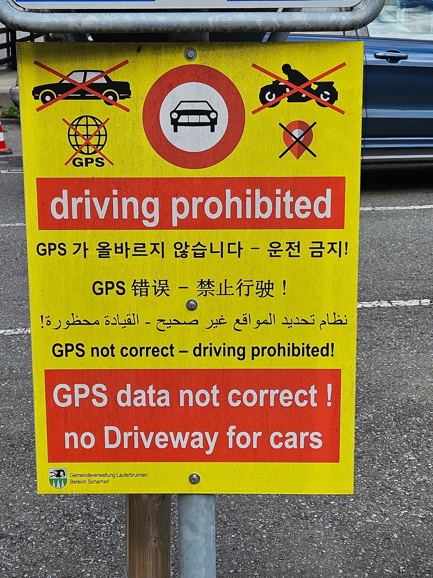
Still, people who have no business driving here in their rental cars insist on touring the roads where they are warned not to drive. How much clearer can it be that this sign is at the entrance to the road? Can you tell it is such a problem they have to post it in multiple languages?
On our descent we saw three cars, one after another, come up and encounter problems. One driver tried to turn around in the patio/driveway of a local who came out and gave him a finger-wagging dressing-down. Immediately behind this confused lad, three guys in a BMW stopped, realized they were blocked, tried to turn into a lane not much wider than a footpath, and banged into a raised sewer cover. Ouch! Hope they had insurance! Hot on their tail was another pair of guys who at least had the good graces to look abashed at having driven into the forbidden area.
Last year some yokel tried to drive up to the car-free town of Wengen and got stuck on the trail. They had to be airlifted out by a helicopter. Can you imagine how excited their car rental agency was?
Our search for a circular walk of Lauterbrunnen did not work out but the ending was quite entertaining. I feel sorry for the locals who deal with this day-in-and-day-out, though.
WALK TWO: Too dull to finish
We have spent precious little time on Lake Brienz: we have one lovely lakeside walk in our book, from the tiny village of Iseltwald to Giessbach Falls. We endeavored to find a route on the south shore of the lake, close to Interlaken but away from the tourist hoards. Sad to say, our walk at Ringgenburg while definitely off-the-beaten and offering nice lake views, was so dull we stopped halfway through and caught a bus back.
WALK THREE: Good potential
A couple of years ago a local resident of Thun told me about a loop route at Aeschi bei Spiez, above the lake town of Spiez, about an hour from Lauterbrunnen. The Aeschi Bänkli Rundweg takes in the cow-studded meadows above Spiez, distant peaks, and stunning views of Lake Thun. At 4+ miles it seemed doable — and we did it — but has some downsides that have us hesitant to recommend it. One half is largely paved roads where you can walk abreast. The other half is not paved and consists in part of faint paths across grass and some other very narrow paths. We had to do a bit of way-finding to decipher the best route and made a couple of misjudgments. Can’t have that in a book so we’d have to re-walk the route to get a good fix on foolproof directions.
Cow-studded meadowsGood signs overallNarrow path between electric wires on pasturesStunning geology
One half of the hike is relentlessly up-up-up and the other a constant descent. There is little undulation nor flat walking. The ascent was gentle but still, two miles of constant uphill for a total of 568 feet; the descent was not steep but needed constant attention. While relatively easy, this walk might be a Category 2 or 3 walk in our book, but we certainly cannot recommend it as pram worthy (Category 1), and I would hesitate to take small children as there were several sections of very narrow paths bordered by electrified pasture wires. What could go wrong?
Pluses: truly quiet, uncrowded, locals only. No sign of the usual tourist throngs who flock to the waterfalls of Lauterbrunnen and the higher mountain vistas. There were many cows, a llama and alpaca farm, a small ranch, and the possibility of a meal along the way: except on Mondays when those restaurants take their rühe tag. (We were there on a Monday, the “rest day.” We ended up with grocery store sandwiches in the village. No Aperol Spritz.)
We are unlikely to include this one in the book, but I am always amazed by the Swiss ability to create walking routes centered on even the smallest villages. They are mostly well-signed, interconnected, and not only recreational but often a route easily incorporated in a day’s errands. There is a national network of barrier-free trails as well, meaning everyone can enjoy the outdoors right from a train station.
I guess if you grow up walking through pastures, you think nothing of narrowly skirting an electric fence.
Now back to my Aperol Spritz while you watch this video of the Wengernalpbahn that crossed our path Walk 1 above.
Sundays are days for long walks and special lunches, at least while we are traveling. A few years ago, I wrote about a particular favorite, which we have now done three times (See https://girovaga.com/2021/10/03/a-path-to-lunch/) with plans to repeat as often as possible.
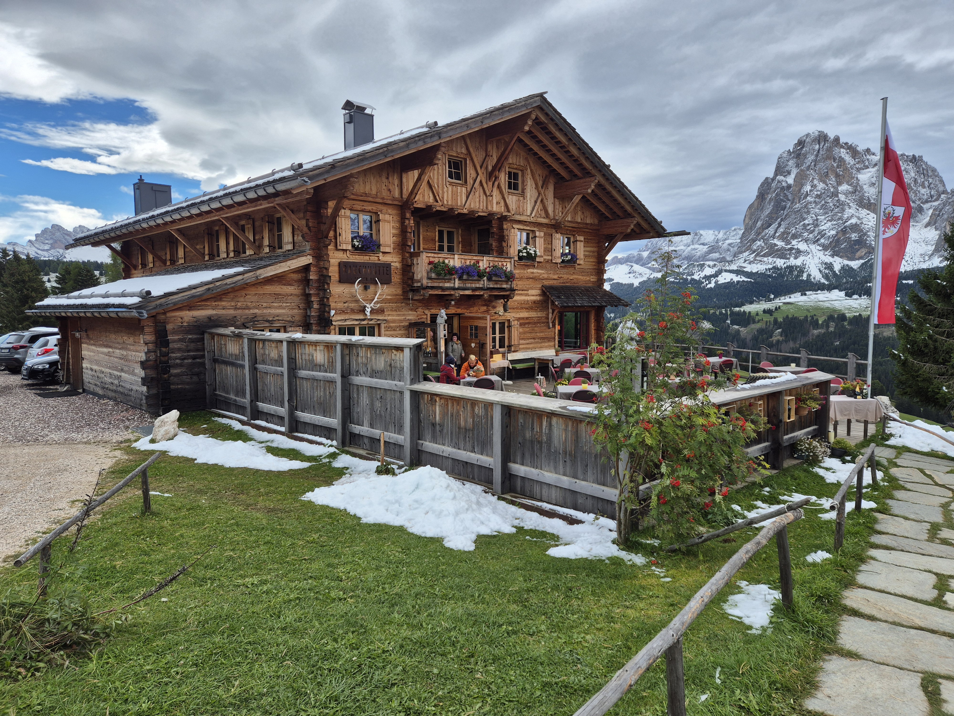
Yesterday we discovered another walk that led us to perhaps the finest mountain “hut” around, Rauchhütte on the Alpe di Siusi. I have read various raves about it: “Best hut! You have to go! Nowhere like it!” My cynical self said that all mountain huts are the same atmosphere, beverages, and mountain cuisine, in this case Südtirol specialties, beer, limited wine, grappa, and good coffee. Rauchhütte is unaltromondo: a world apart.
Perhaps I should explain the concept of today’s mountain “huts.” In Italian we call one a rifugio or baita or malga, in German it is hütte. You would probably call one heavenly. We are talking real plates, glassware, and cutlery; Espresso machines and full kitchens; Clean bathrooms. They serve simple mountain food: hearty pastas, local specialities like canederli (a kind of dumpling), cheese and meat platters, polenta, game dishes featuring boar or venison, spareribs, lots of potatoes, beer, limited wines, some hard liquor. Always strudel, homemade cakes, coffee, and so on. Hearty fare. Occasionally a salad slips into the menu.
Approaching the baita Rauchhütte.
Imagine this terrace on a sunny, temperate day!
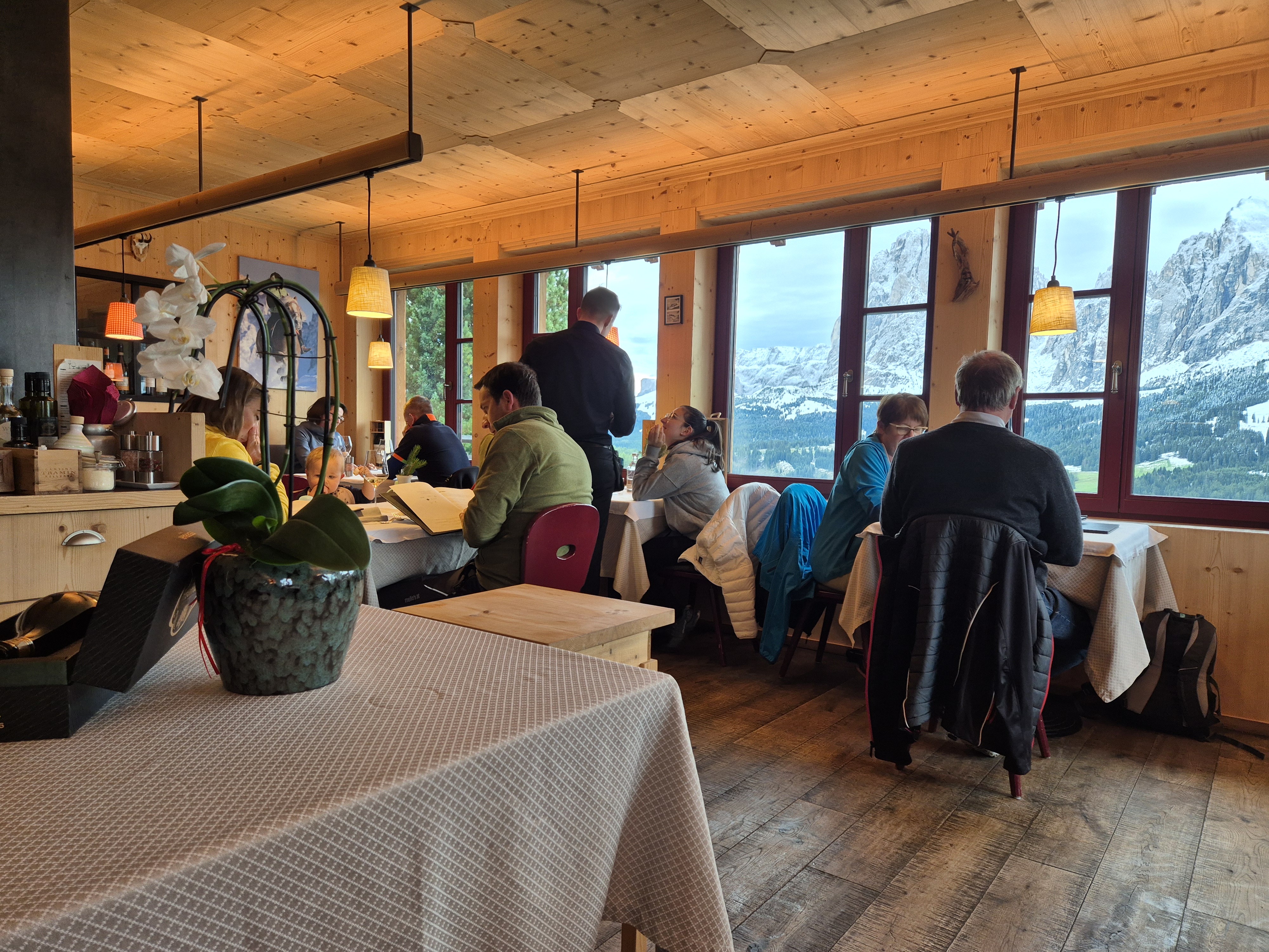
Rauchhütte defies the traditional baita. It is a gourmet experience, a wine-driven restaurant perched in one of the most beautiful mountain settings you will find. A fabulous deck, a warm and cozy dining room, stellar service, an impressive wine list, and elevated cuisine.
It was almost full when we arrived at noon. We were lucky to get the last unreserved table. Sunday lunch is a big deal and people target Rauchhütte for this special time.
Interior with views to the Sassolungo and Sasspiatto.
You cannot drive to Rauchhütte. You can cycle, hike, walk, or take a bus. We walked an hour to get there from AlpenHotel Panorama as well as an hour after lunch to — get this — ride a chair lift back to our home base! Who needs a bus?
Adding to the pleasure of the day, we are having a wintery September on the Alpe di Siusi. About 6 inches of snow fell Thursday into Friday, and Saturday was cursed with a bitterly cold wind. Sunday, the winds were still, and silence descended as it does with snow on the ground. Even most of the (few) people out were not talking much. Just enjoying the unusual scene. So did we. SIGH.
Lunch was divine. Fine wines by bottle or glass, a limited but excellent menu with many specials for the day featuring seasonal favorites like porcini or deer. Yes, the local specialities were present as well, but in an elevated manner, with the service you would expect in a fine-dining restaurant; except all the patrons were dressed for outdoor sports and had backpacks at their feet.
Ric’s lunch of canederli and goulash.
My choice: Housemade pappardelle with oxtail ragu.
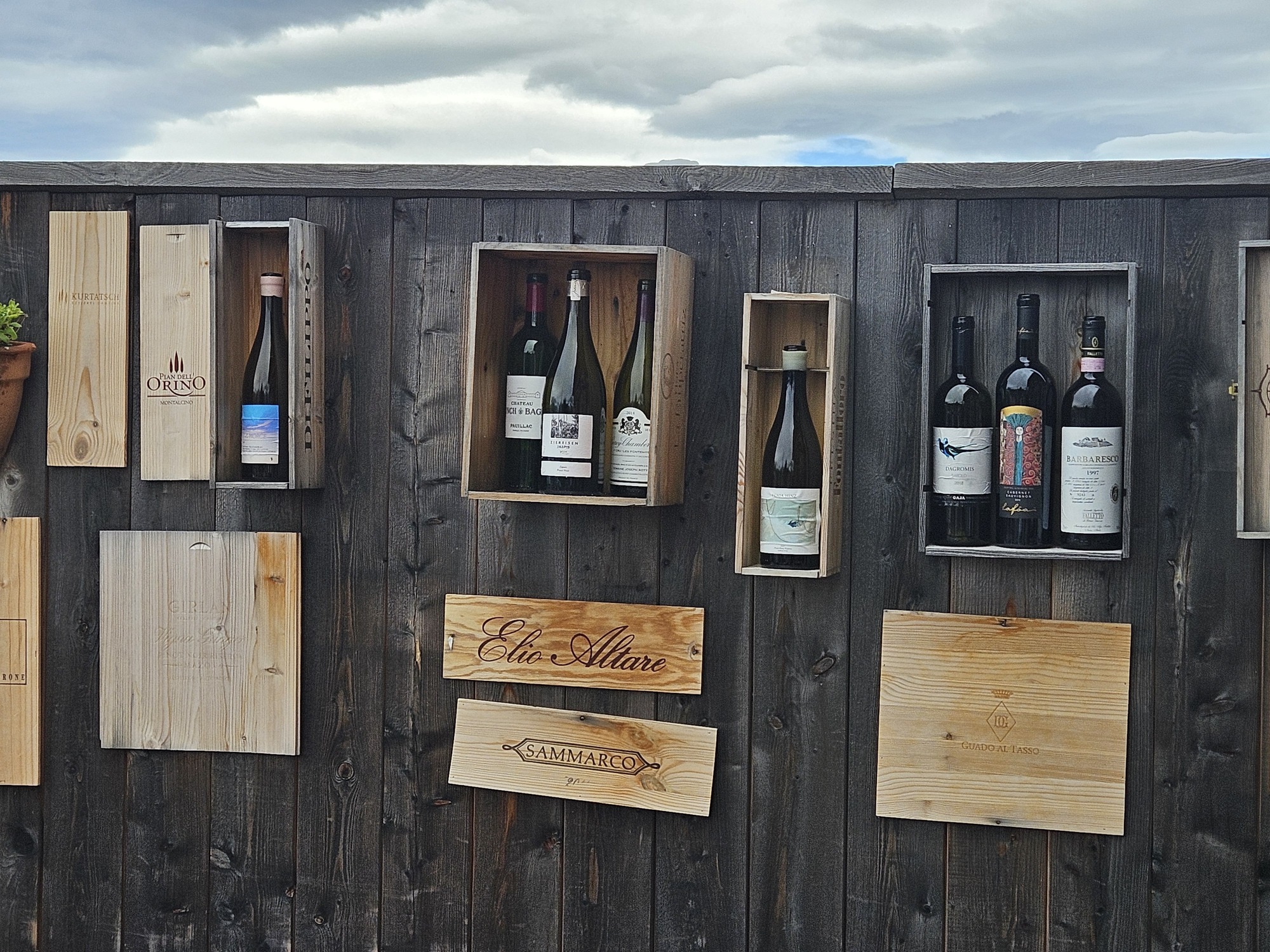
Terrace wall decorated with (empty) wine bottles. They claim to have 300 labels in the wine cellar, mostlylocal.
A total of five miles and two hours of walking might have put a dent in the house made pappardelle with oxtail rags that I snarfed down. We will be back next year. I might even include one this in the next edition of Walking in Italy’s Val Gardena.
For those who are curious about the route and know the area or are visiting, we walked Trail #6 from Panorama downhill toward Ritsch, turning right on Trail #30 until it joins the main road at the Wiedner Egg bus stop. From there, follow the road to the “hut.” The easy-hiker way back is to walk the road back to the bus stop, then follow Trail #30, the Hans and Paula Steger Trail (also in our book) all the way to Compatsch, returning up to AlpenHotel Panorama via the chairlift.
Or take the bus if you had too much wine. That might happen next year because the wine list is simply awesome.
One of the views on our path to lunch, the magnificent Sassolungo and Sassopiatto.
It was with some reluctance that we stayed in Wengen this trip. As our plans were made only a few days in advance, finding a suitable apartment in one of the three villages boiled down to only a few choices that we could gulp and swallow the price on.
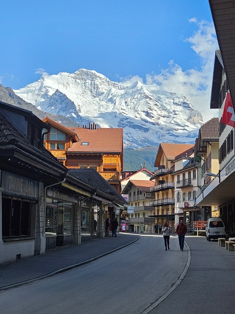
Wengen’s Main Street: a few shops and restaurants along with several hotels, nestled beneath the Jungfrau.
Luckily, the apartment is comfortable and has all we need: dishwasher, washing machine, clothes dryer, and, most importantly, a Nespresso machine. It is also quiet since the village is car-free and each morning we wake to birdsong. We are immune to the hourly tolling of the church bells nearby as we fall into bed very tired from the day’s activities.
Our reluctance to stay in Wengen stemmed from the need to ride the train down and up from the Lauterbrunnen station every day. While it is less than 20 minutes each way, it does add to travel times when going to Interlaken, Grindelwald, Mürren and beyond. It is, however, a stunningly beautiful ride and, after all, what else do we have to do?
I took this photo of Lauterbrunnen from the train on our way back to Wengen yesterday.
On the plus side, we have gotten to know Wengen just a bit better. Prior trips had us passing through on the way to-or-from the Männlichen cable car. We had eaten a couple of meals here and years ago Ric once bought a wool hiking hat that still makes every trip. In the past we’ve taken in the view from the church and enjoyed two walks — Mönchblick and Staubbachbänkli — that we wrote about in our book Walking in Switzerland’s Berner Oberland. Our temporary residency has led us to “discover” two more lovely walks as well as the fabulous Restaurant Maya Caprice and we have come to appreciate the silence of this car-free zone.
Same waterfall, viewed from Hunneflue, above Wengen after a 25 minute walk.
We still love Lauterbrunnen and our happy home at James’ and Michele’s apartment, where we will pass a month again this fall. Wengen will also be on our list for a few outings in the fall.
For those visiting the area, be certain to stop at the Wengen Tourism Office next to the cable car station and pick up the Dorfplan, which is a little map of the village showing several very easy to moderate walks to viewpoints. These require no transportation and are lovely at any time of day with ever-changing lighting on the magnificent views. They will take you to corners of Wengen the casual visitor misses entirely as the majority are focused on the village center and getting up the mountains by train or cable car. Most of the paths are paved and many have lighting so that evening walks are feasible.
No wonder we come back so often. There is always something new for the easy-hiker to discover.
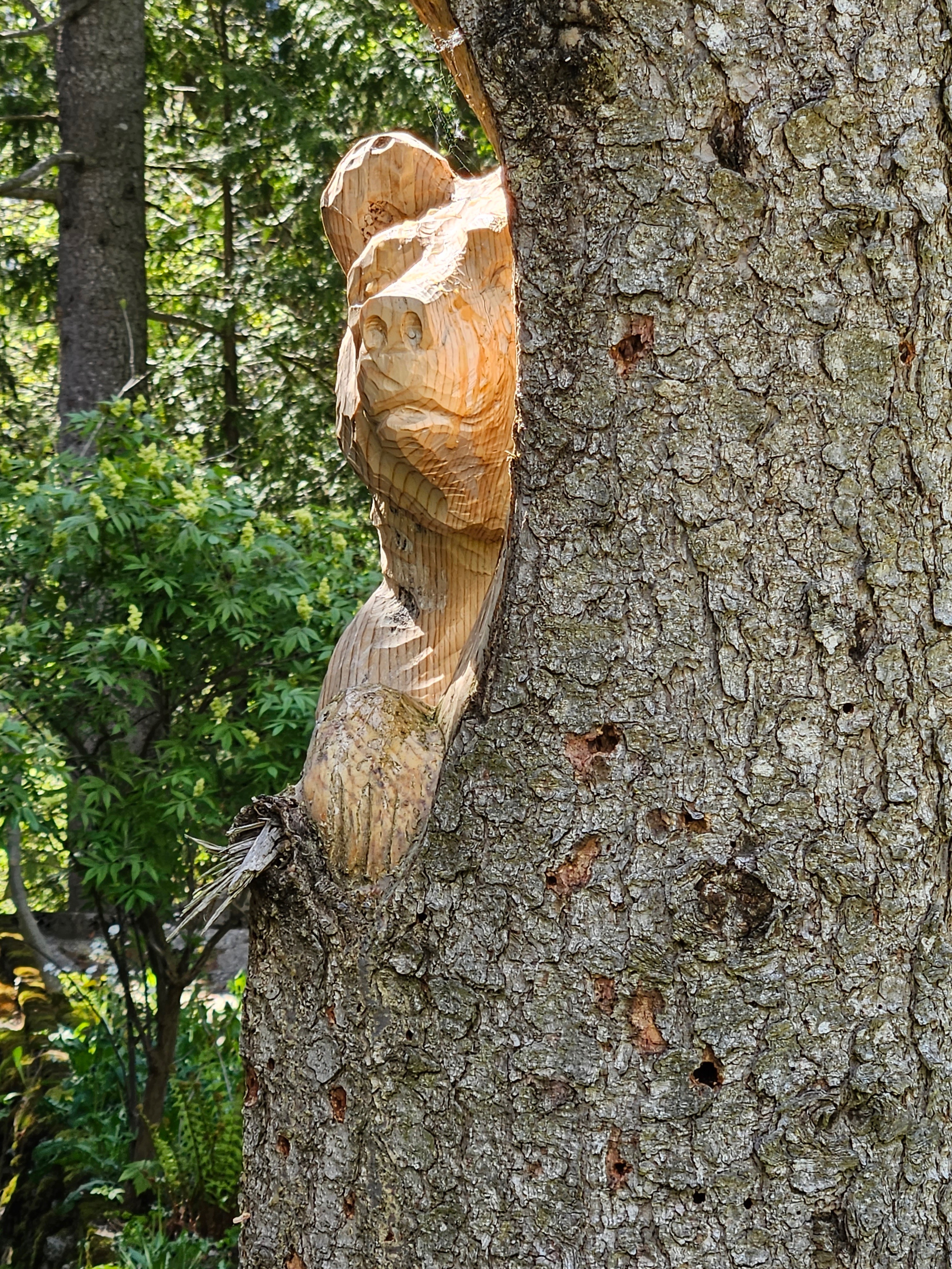
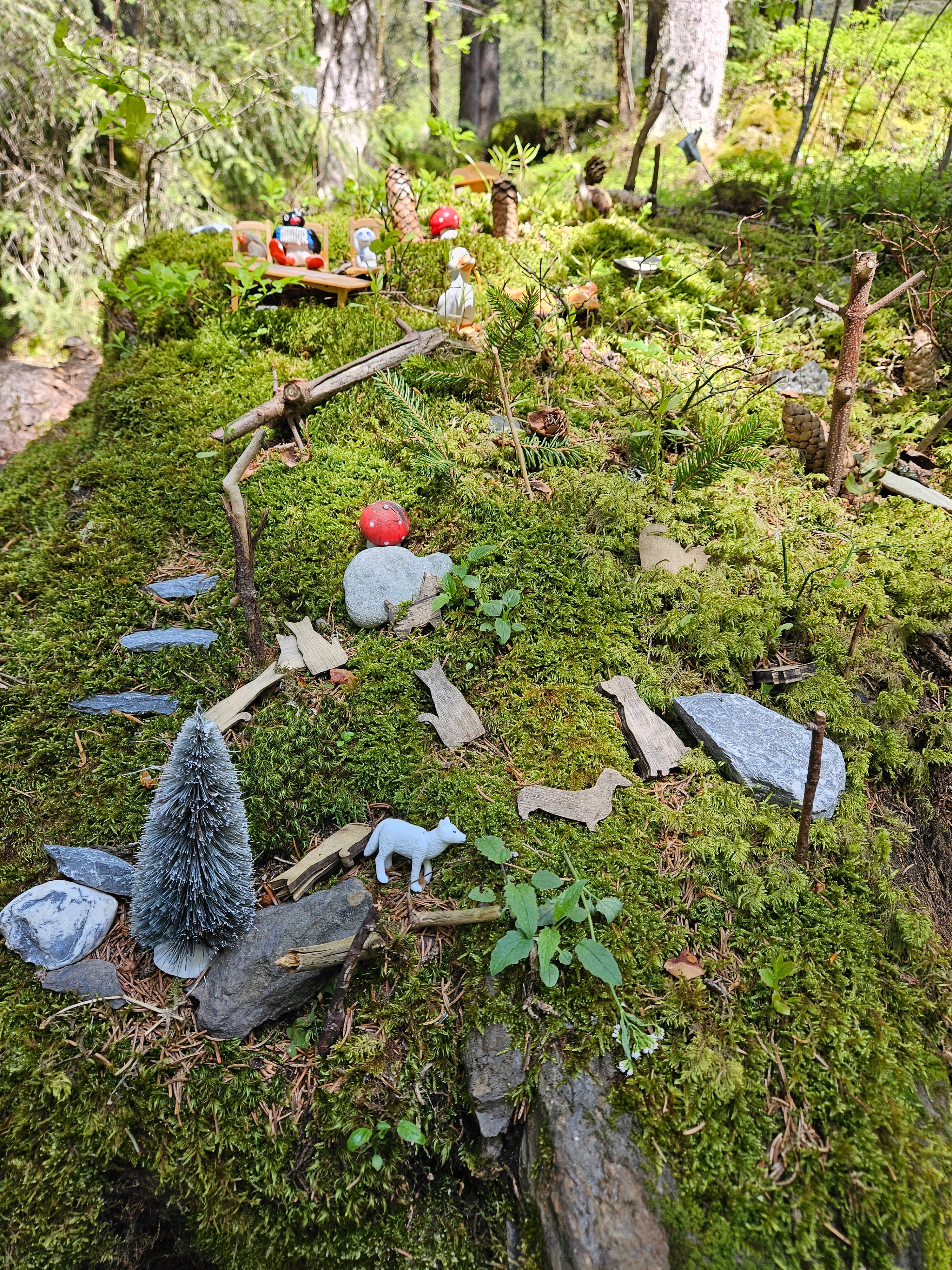
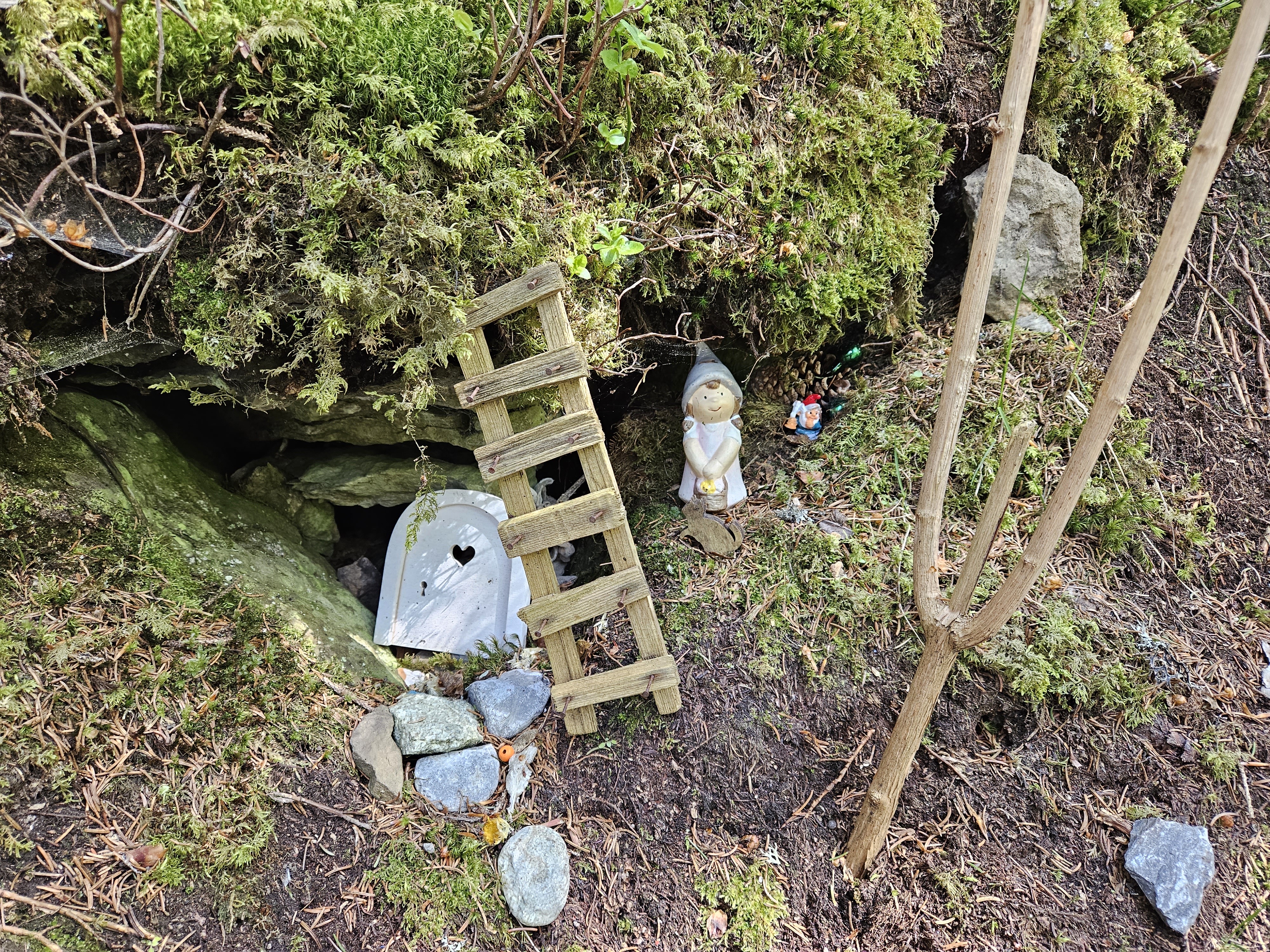
Along the trail, a little bear cub carved into a tree stump.One of three carved tree stumps that delighted us on our walk.A playful project in a mossy area, a hidden treasure when you leave the Main Street.Another part of the fanciful garden.Ric is ready to dig in! An Italian pizzaiolo makes authentic Neopolitan pies at Maya Caprice in Wengen.